 Metadata catalogue
Shom
Type of resources
Available actions
Topics
INSPIRE themes
Keywords
Contact for the resource
Provided by
Years
Formats
Representation types
Update frequencies
status
Scale
Resolution
-
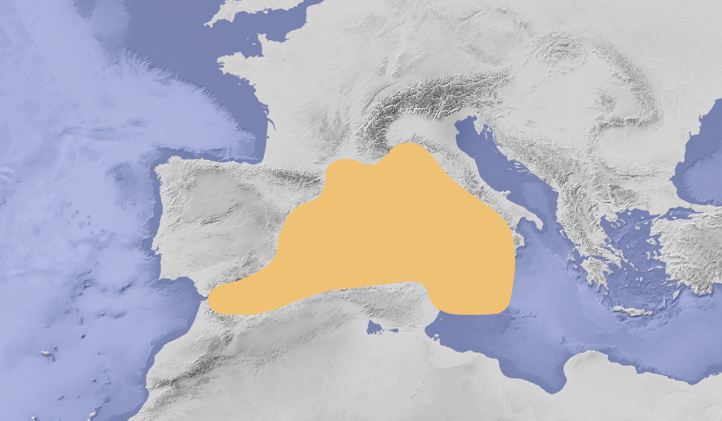
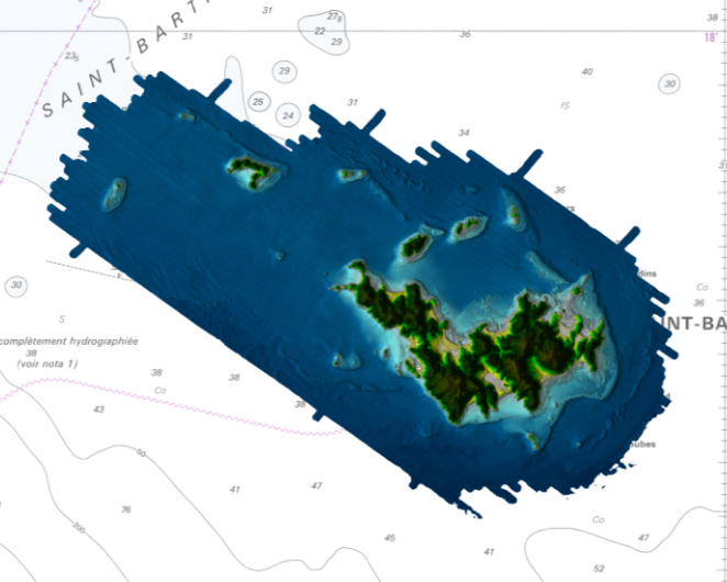
Study area of SIMWESTMED Project composed by FAO sub-area 37 including Malta waters
-
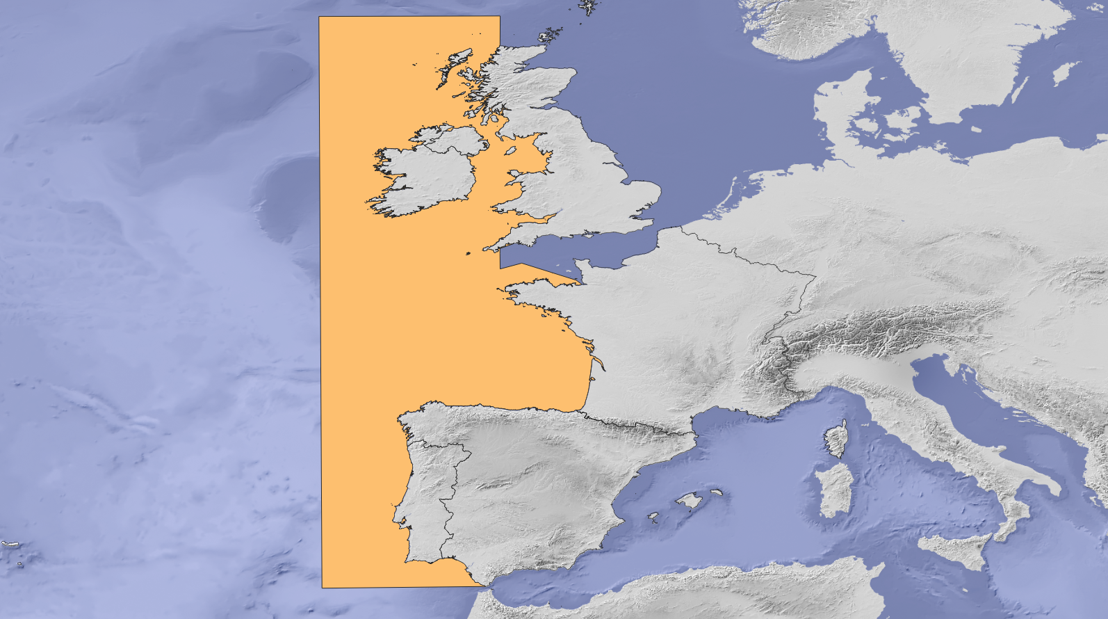
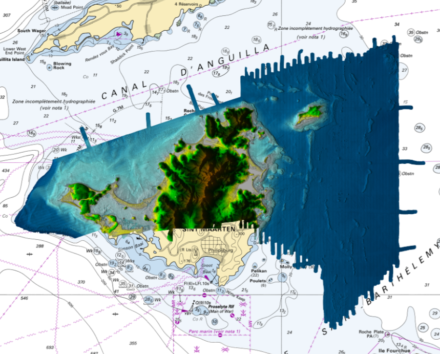
The study area of SIMAtlantic Project composed by Ospar III and IV regions
-

The product "BathyElli surfaces v2.1" contains the surface realisation of the ellipsoidal height at the reference date of 1 January 2000 of the characteristic tidal levels corresponding to : - Highest Astronomical Tide (HAT): "BathyElli v2.1 HAT / ell" ; - Mean Sea Levels (MSL): "BathyElli v2.1 MSL / ell"; - Lowest Astronomical Tide (LAT): "BathyElli v2.1 LAT / ell"; - Chart Datum (CD) vertical sea level reference for each tidal zone: "BathyElli v2.1 HZ / ell".
-
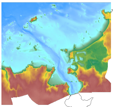
The coastal topo- bathymetric DEM of the port of Saint-Malo and its surroundings with a resolution of 0.00005° (~ 5 m) was prepared as part of the PAPI Saint-Malo. It covers the city of Saint-Malo and its surroundings, from the tip of Décollé in the west to the tip of Varde in the east. The DEM is designed to be implemented in the hydrodynamic models of the TANDEM project in order to estimate the coastal effects of tsunamis for the Atlantic and English Channel, where French nuclear power plants have been installed for about 30 years. This product is available with the Lowest Astronomic Tide (LAT) or the Mean Sea Level (MSL) as a vertical datum.
-
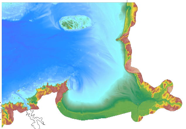
The coastal topo- bathymetric DEM of a part of the Norman-Breton gulf with a resolution of 0.0002° (~ 20 m) was prepared as part of the PAPI Saint-Malo. It covers the Minquiers plateau in the north-west to the bay of Mont-Saint-Michel in the south-east. The DEM is designed to be implemented in the hydrodynamic models of the TANDEM project in order to estimate the coastal effects of tsunamis for the Atlantic and English Channel, where French nuclear power plants have been installed for about 30 years. This product is available with the Lowest Astronomic Tide (LAT) or the Mean Sea Level (MSL) as a vertical datum.
-

The update of the coastal topo-bathymetric DEM of the Gironde estuary - downstream with a resolution of 0.0002° (~ 20 m) was carried out in the third phase of the HOMONIM project. This DEM covers the downstream part of the Gironde estuary, from Pauillac to its mouth. It is complementary to the DEM covering the upstream estuary. The DEM is intended to be implemented in hydrodynamic models in order to produce forecasts as accurate as possible of water heights and sea states at the coast to improve the relevance of the Wave-Submergence Vigilance. This product is available with either the Lowest Astronomic Tide (LAT) or the Mean Sea Level (MSL) as a vertical reference.
-
Litto3D is a unique and continuous land-sea database which can provide 3D models of the shape and location of French coastal terrain. Litto3D digital models are available in two formats: a set of 3D points and a qualified terrain mesh.
-

The coastal topo-bathymetric DTM of the Arcachon basin and its surroundings at a resolution of 0.0002° (~ 20 m) was produced as part of the HOMONIM project. The DTM covers the coastline of a part of the Gironde department, from the Carcans and Hourtin ponds in the North, to the Cazaux and Sanguinet lakes in the South. It covers the entire Arcachon basin and extends offshore to about 40 m depth. The DTM is intended to be implemented in hydrodynamic models in order to produce accurate forecasts of water heights and sea states at the coast and to improve the French storm surge warning system. This product is available with the Lowest Astronomic Tide (LAT) or with the Mean Sea Level (MSL) as a vertical datum.
-
Litto3D is a unique and continuous land-sea database which can provide 3D models of the shape and location of French coastal terrain. Litto3D digital models are available in two formats: a set of 3D points and a qualified terrain mesh.
-

The coastal topobathymetric DEM of Ré Island's surroundings, with a resolution of 0.00005° (~5 meters), was created by Shom as part of the HOMONIM-3 project. It covers the coast of the municipalities of Ars-en-Ré and Saint-Clément-des-Baleines, extending offshore to a depth of about 20 meters, to the west of the Phare des Baleines lighthouse. This DEM is designed for use in hydrodynamic models to enhance the modeling of coastal processes, particularly forecasting submersion risk. The product complements the coastal topobathymetric DEM of the Pertuis-Charentais, with a resolution of 0.0002° (~20 meters), and the bathymetric DEM of the Atlantic coast, with a resolution of 0.001° (~100 meters). It is available in the vertical reference of the Lowest Astronomical Tide (LAT) or the Mean Sea Level (MSL).