 Metadata catalogue
2000
Type of resources
Available actions
Topics
INSPIRE themes
Keywords
Contact for the resource
Provided by
Years
Formats
Representation types
Update frequencies
status
Scale
Resolution
-
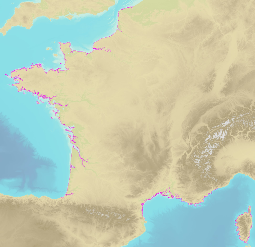
The land-sea limit corresponds to the Highest Astronomical Tide (HAT) in the case of a tide of coefficient 120 and under normal meteorological conditions (no offshore wind and mean atmospheric pressure of 1013 hPa). This geometric line is naturally defined as the intersection of a HAT model (extended to the coast and the top end of the upper estuary) based on the available Bathyelli surfaces, and a high-resolution digital terrain model of the coastal area. It corresponds to the highest limit of the intertidal area and takes into account, when they exist, the 3 administrative maritime limits which are: the transversal limit of the sea (LTM), the salt water limit (LSE) and the limit of maritime jurisdiction (LAM). This limit is measured (quoted) in relation to the local hydrographic chart datum and to the levels of reference for France (IGN69 and IGN78 for Corsica). Relations to other levels of reference (mean sea level and ellipsoid) are known. The land-sea limit product, mainly results from the exploitation of the two products Litto3D®/RGEALTI® and Bathyelli, and represents, with a metric resolution (1 to 5 metres), this theoretical entity by a set of 2D polylines describing the nature of the coast (artificial or natural, rocky or sandy, steep or flat, etc.). The method used for calculating the land-sea limit makes it possible to produce a continuous, homogeneous and spatially coherent limit on the entire French metropolitan coastal area.
-

-

This Geographic Dataset represents the geographic information of the legal document "Resolução do Conselho do Governo n.º 3/2014 de 15 de Janeiro de 2014" of the Azores Autonomous Region.
-

This Geographic Dataset is formed by the information obtained with the Surfrider association, which has identified the frequent or sporadic surf practice places.
-

This Geographic Dataset represents the reference distance used in some Legislation thar regulate the fisheries in The Azores Autonomous Region.
-

This Geographic Dataset represents the reference distance used in some Legislation thar regulate the fisheries in The Azores Autonomous Region.
-

This Geographic Dataset represents the reference distance used in some Legislation thar regulate the fisheries in The Azores Autonomous Region.
-

This Geographic Dataset represent the vectorial information included in the Portaria nº 68/2016, of July 1st.
-

This Geographic Dataset represents the geographic information of the legal document "Resolução do Conselho do Governo n.º 3/2014 de 15 de Janeiro de 2014" of the Azores Autonomous Region.
-

This Geographic Dataset represents the geographic information of the legal document "Resolução do Conselho do Governo n.º 3/2014 de 15 de Janeiro de 2014" of the Azores Autonomous Region.