notPlanned
Type of resources
Available actions
Topics
INSPIRE themes
Keywords
Contact for the resource
Provided by
Years
Formats
Representation types
Update frequencies
status
Service types
Scale
Resolution
-
Data for D3-5b BRC webservice
-
Overall evaluation of possible limitations and restrictions to the installation of closed loop systems based on a 4 colour schemes (grey: no data available, red: no installation allowed, yellow: installation based on case to case decision, green: no restrictions known)
-
Overall evaluation of possible limitations and restrictions to the installation of open loop systems based on a 4 colour schemes (grey: no data available, red: no installation allowed, yellow: installation based on case to case decision, green: no restrictions known)
-
Energy content available per year in a defined volume of a groundwater body for heating and/or cooling applications
-

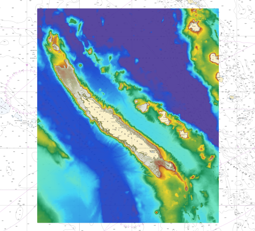
The bathymetric DEM for the coasts of New-Caledonia with a resolution of 0.001° (~ 100 m) was prepared in the framework of a Shom-IRD partnership as part of the TSUCAL project. The DEM covers the basin from New Caledonia in the west to the Vanuatu archipelago in the east. The DEM is designed to be used in hydrodynamic models in order to improve the pertinence of the Waves-Submersion monitoring programme.
-
Water saturated thickness of a groundwater body
-
Installations that enable the use of the energy stored underground in a depth of up to 300 to 400 meters
-
Geological cross-sections referring to stratigraphic or lithological units.
-
Zones, where rocks have been broken and displaced. Faults, which may cause geotechnical problems while drilling or problems with cementation for closed loop systems.
-
The elevation of a geological boundary in meters above sea level.
 Metadata catalogue