SIMAtlantic


Duration : 07/2019 - 09/2021


Supporting Implementation of Maritime Spatial Planning in the Atlantic (SIMAtlantic) aims to support the establishment and implementation of Maritime Spatial Planning (MSP) in France, Ireland, Portugal, Spain and the United Kingdom. It is co-funded by the European Union and implemented by partners representing academic instritutions, marine planning authorities and scientific public bodies, who work together to share knowledge and ultimately build long-lasting cooperation in MSP.


List of partners


Ireland

  • MaREI, University College Cork (project lead)
  • Department of Housing, Local Government and Heritage

France

  • Service hydrographique et océanographique de la Marine
  • Office français de la biodiversité
  • Centre d’études et d’expertise sur les risques, l’environnement, la mobilité et l’aménagement

Portugal

  • Centro de Estudos do Ambiente e do Mar, Universidade de Aveiro
  • Direção-Geral de Recursos Naturais, Segurança e Serviços Marítimos

Spain

  • Instituto Español de Oceanografía

UK

  • Agri-Food and Biosciences Institute, Northern Ireland
  • Department of Agriculture, Environment and Rural Affairs, Northern Ireland
  • University of Liverpool


SIMAtlantic Geoportal

The project includes a data portal as a demonstrator, accessible at https://simatlantic.mspdata.eu/


portail simatlantic


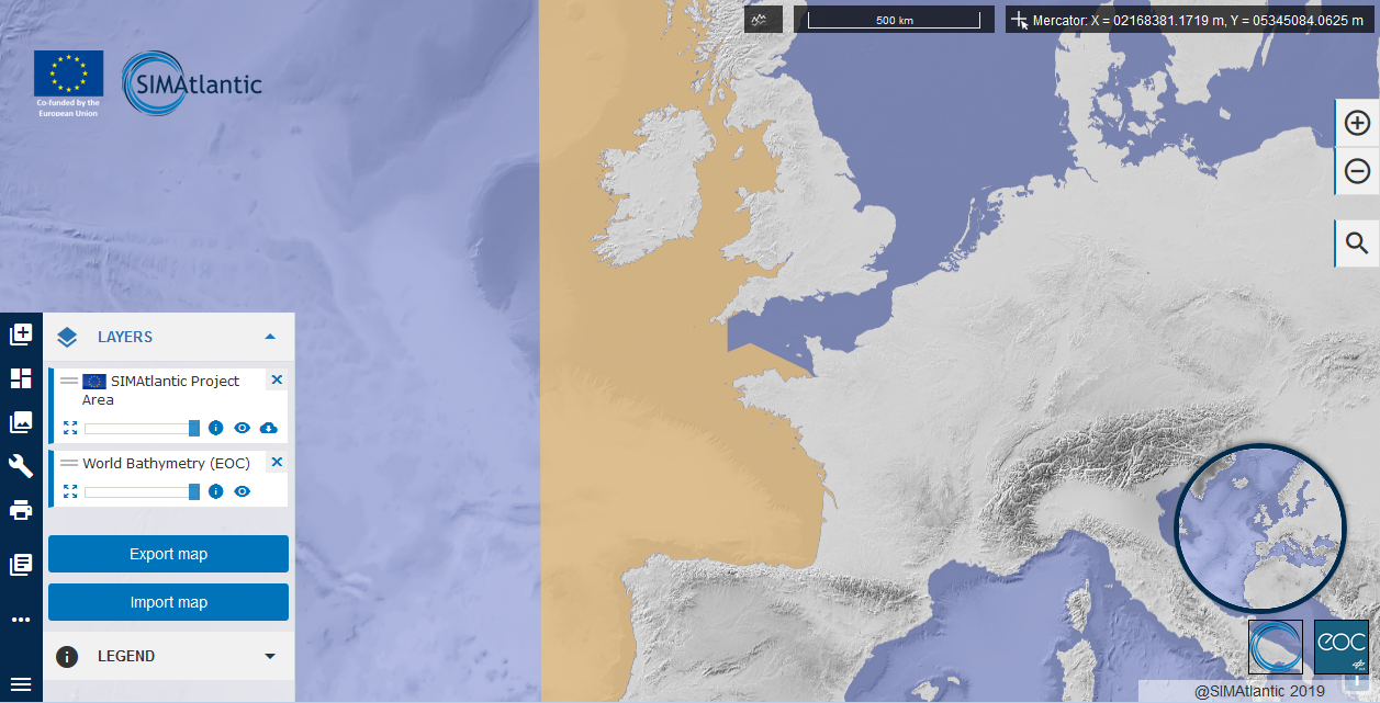
This demonstrator gathers data and information in connection with the planning of maritime areas. It disseminates in particular geospatial information relating to the marine spatial plans of England, Spain, France, Ireland, Northern Ireland and Portugal and "proof" data used to establish the plans, when available and interoperable with the too used.


The Survey

A survey is established regarding data organisation and issues in the Atlantic region. This survey contributes to understanding how states produce and disseminate MSP data, identifying their spatial data and service needs, including those that would facilitate cooperation on MSP cross-border issues.
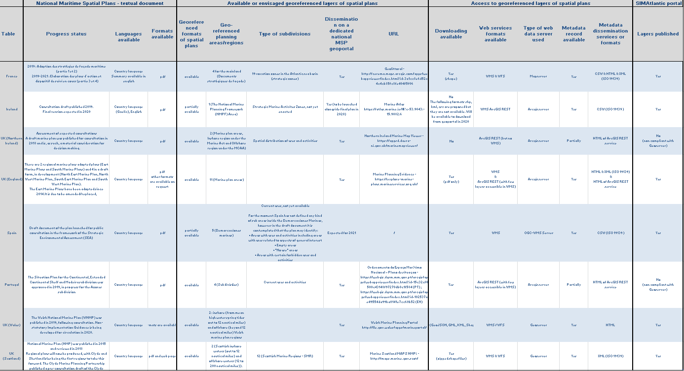
 

MSP plans access

31st of March 2021 is the deadline fixed by the European Directive on maritime spatial planning for European countries to establish maritime spatial plans concerning their waters.

The table belows informs on the status of the MSP national plans availability on 20/11/2020.


MSP plan access table


MSP data sharing in England, France, Ireland, Northern Ireland, Portugal and Spain

A factsheet is established regarding each country of SIMAtlantic Projet. It brings together a number of information relating to MSP and to the operation of the national geoportal, technical choices, available sources and data accessibility.


Review of conclusions on data use and sharing from SIMCelt, SIMNORAT, SIMWESTMED and  SEANSE

As a starting point for activities related to data use and sharing in SIMAtlantc project, a review of the shared conclusions and insights from previous projects was conducted.


Data services

The data published on the SIMAtlantic portal can be accessed via web services at the following addresses

  • Data access in WFS

            - https://services.mspdata.eu/geoserver/simatlantic/wfs?

            - https://services.mspdata.eu/geoserver/common/wfs?


  • Data access in WMS

           - https://services.mspdata.eu/geoserver/simatlantic/wms?

           - https://services.mspdata.eu/geoserver/common/wms?


Others links