 Metadata catalogue
3.75 Arc second
Type of resources
Available actions
Topics
INSPIRE themes
Keywords
Contact for the resource
Provided by
Years
Formats
Representation types
Update frequencies
Scale
Resolution
-

The bathymetry data were collected from the online data source Norge Digitalt (http://www.norgedigitalt.no) established by the Norwegian Mapping Authority, the Hydrographic service (Statens Kartverk Sjø). The original resolution is about 50m on an irregular grid. IMR has interpolated the bathymetry to four 50m x 50m UTM-grids, and simple extrapolation is applied towards a high-resolution coast line, also provided by the Norwegian Mapping Authority.
-

Multibeam bathymetry of Haifa Bay. Description of processed data sources: the data come from the IOLR's R/V Etziona www.ocean.org) with a Kongsberg-Simrad EM1002 (90 kHz, 111 beams). The data is the property of the Israeli Government, Ministry of National Infrastructures, which was renamed to the Ministry of Energy and Water. The original data is classified. The navigation is all with real-time corrections and is <1 m. The appropriate oceanographic measurements were made with my AML CTD as well as a Valeport SV. The analysis was all done with CARIS HIPS/SIPS. The data include another survey in deeper water with an ELAC Nautik Gmbh. SeaBeam 3050 50 kHz system, a year ago aboard the R/V Mediterranean Explorer (www.ecoocean.com) . It covered some 7,000 sq. km. from depths of ~500 to 1600 m.
-

The bathymetry data were collected from the online data source Norge Digitalt (http://www.norgedigitalt.no) established by the Norwegian Mapping Authority, the Hydrographic service (Statens Kartverk Sjø). The original resolution is about 50m on an irregular grid. IMR has interpolated the bathymetry to four 50m x 50m UTM-grids, and simple extrapolation is applied towards a high-resolution coast line, also provided by the Norwegian Mapping Authority.
-
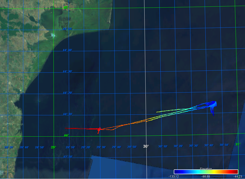
Gridded data for the ESS-ULYX-PP-2023-2 cruise.
-

Gridded multibeam data acquired during scientific surveys and transits of French research vessels from 1992 to 2017 off the French Caribbean Islands.
-
9496-25-DTM - Site Survey of Dogger Bank Tranche C Offshore Wind Farm Area by Gardline Geosurvey Ltd
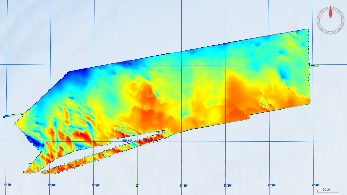
Gardline Geosurvey Limited was contracted to survey the Dogger Bank Offshore Wind Farm (OWF) Area between 04-Apr-2013 and 02-Aug-2013, comprising the Tranche C zonal surveys. The aim of the surveys was to carry out a geophysical investigation that would broadly assess the entire developable area of the zone. Seabed information was required to inform the site selection process and enable preliminary foundation design to be undertaken. The geological data acquisition programme was carried out on M.V. Sea Surveyor, which sailed from Hull and returned to Blyth, and M.V. Vigilant which sailed from, and returned to, Great Yarmouth upon completion of survey operations. The Crown Estate is the data owner and copyright holder.
-
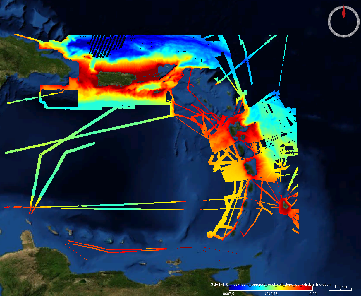
Ryan, W.B.F., S.M. Carbotte, J.O. Coplan, S. O'Hara, A. Melkonian, R. Arko, R.A. Weissel, V. Ferrini, A. Goodwillie, F. Nitsche, J. Bonczkowski, and R. Zemsky (2009), Global Multi-Resolution Topography synthesis, Geochem. Geophys. Geosyst., 10, Q03014, doi: 10.1029/2008GC002332 Extraction of the GMRT grid for the Caribbean region of EMODnet bathymetry. The extraction is updated in June 2024. GMRT overview from https://www.gmrt.org/about/index.php The Global Multi-Resolution Topography (GMRT) Synthesis is a multi-resolution Digital Elevation Model (DEM) maintained in three projections and managed with a scalable global architecture that offers infrastructure for accessing the DEM as grids, images, points and profiles. A mask layer is available that highlights the location of high-resolution data. Most curatorial effort for GMRT is focused on cleaning and processing ship-based multibeam sonar data acquired by the US Academic Research Fleet (ARF) so they can be gridded at their full spatial resolution (~100m in the deep sea). These data are seamlessly overlain on lower resolution observed and predicted bathymetry data and are integrated with terrestrial elevation data to deliver to users the best resolution data that have been curated for a particular area area of interest.
-
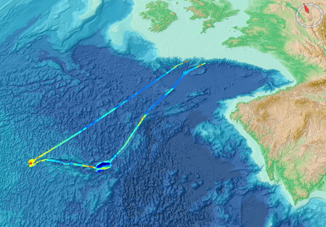
During a cruise within the ENVRI+ Project WP4, a joint pilot experiment to measure methane transfer from the seafloor to the atmosphere, bathymetry was recorded using a hull-mountes Elac Seabeam 1050 multibeam system. https://doi.org/10.1594/PANGAEA.913704 Cruise of the R/V Mare Nigrum vessel (https://www.eurofleets.eu/vessel/rv-mare-nigrum/)