 Metadata catalogue
Contact for the resource
Université Côte d'Azur, Sophia Antipolis, France
Type of resources
Available actions
Topics
Keywords
Contact for the resource
Provided by
Years
Formats
From
1
-
1
/
1
-
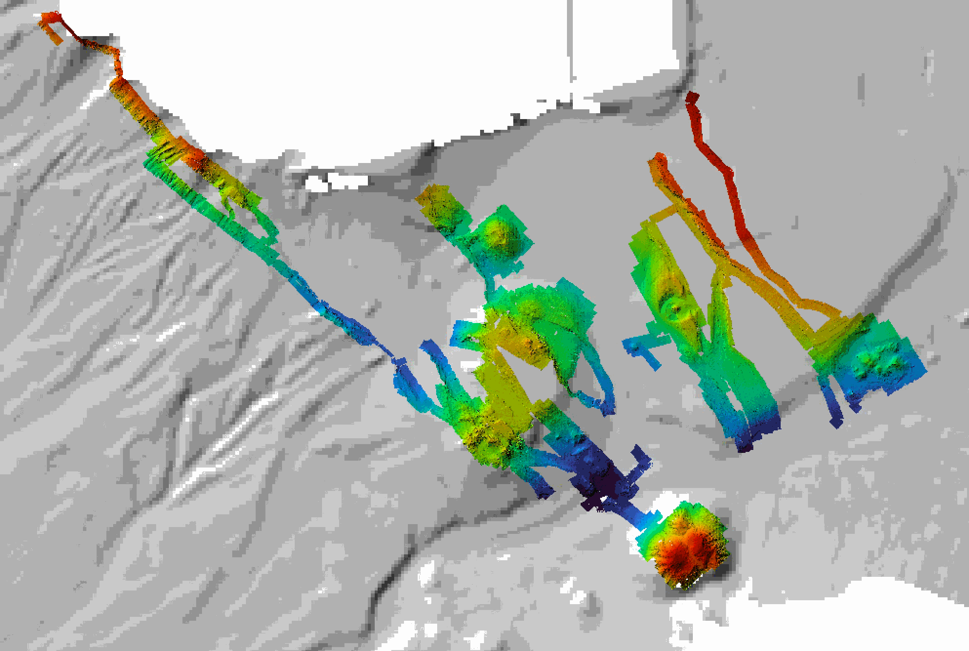
Near-bottom multibeam bathymetry acquired at the French Antilles volcanic arc between Les Saintes et Dominica islands. High-resolution bathymetry data (1 m/pixel) were acquired by the autonomous underwater vehicle (AUV) AsterX, deployed during the 2017 Subsaintes cruise (https://doi.org/10.17600/17001000. The dataset consists of dives #394 through #404, after renavigation of the veichile. This dataset includes both grids of individual dives (bathymetry and backscatter, in GRD format), and mosaics combining these dives in 3 larger grids (GEOTIFF). All grids are provided in WGS 84 projection.