 Metadata catalogue
Swedish Maritime Administration
Type of resources
Available actions
Topics
INSPIRE themes
Keywords
Contact for the resource
Provided by
Years
Formats
Representation types
Scale
Resolution
-
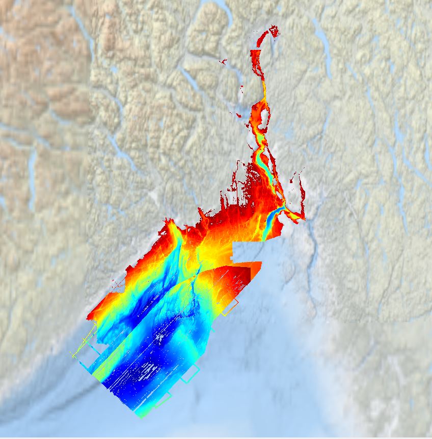
Multibeam bathymetry collected from Asköfjärden and Fifång Deep, east of Askö Island in southern Stockholm archipelago. The data were collected with Stockholm University research vessels (RV) Electra and Skidbladner between 2012 and 2018 for multiple purposes. Some of the data were collected as a part of a course in marine geophysical mapping at Stockholm University. The processing of the raw data was carried out using the Qimera software by QPS. The data have been cleared for public release by the Swedish Maritime Administration.
-
Crowdsourced Bathymetry from survay company MacGregor. Downloaded Data Centre for Digital Bathymetry Viewer.
-

Data extracted from the Hydrographic Office of the Polish Navy (HO) database. Cells in a 200m grid has been populated.
-
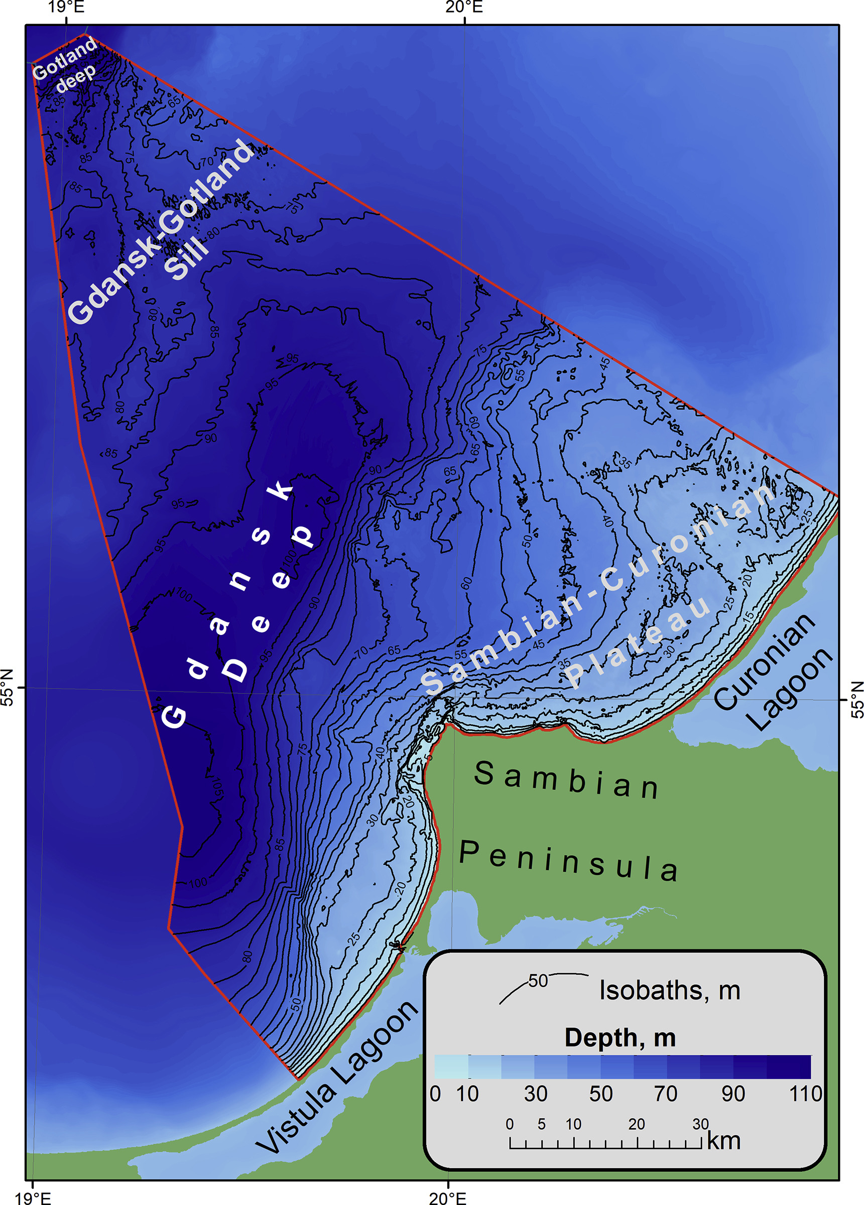
The bathymetric dataset of a single beam sounding. Surveys were conducted in 25 expeditions of the Atlantic branch of Shirshov Institute of Oceanology RAS in the Russian EEZ area of the southeastern part of the Baltic Sea in the period from 2004 to 2018. Acoustic data were acquired by echo sounders Simrad EA-400SP and Furuno FS-700. The raw sounding data were filtered and corrected by sound velocity values. The dataset is presented as spreadsheets (*.xslx) and GIS point-class shapes (*.shp). The digital elevation model (DEM) of 1: 500 000 scale has been constructed for the entire Russian EEZ on base of the original array of sounding profiles and an open sources bathymetry.
-
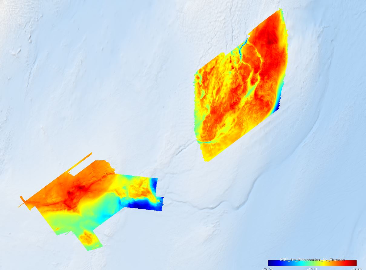
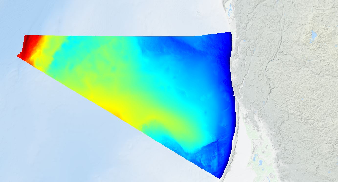
The dataset covers the areas of Northern Midsea bank (Norra Midsjöbanken) and Hoburgs bank in the Baltic Sea Region. The areas were surveyed using multibeam sonar, and collected sediment samples and high-resolution underwater images. For the EMODnet project, the data was delivered in TIFF-format and with a resolution of 1 meter for Northern Midsea and 10 meter for Hoburgs bank.
-
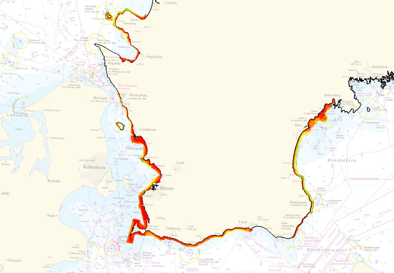
The dataset is provided by Geological Survey of Sweden (SGU) for EMODnet Bathymetry 2022. The dataset covers the areas of Skåne strand, in the Baltic Sea Region. The area was surveyed using LiDAR and multibeam sonar and merged into one composite grid. For the EMODnet project, the data was delivered in a resolution of 1 meter.
-
Data extracted from the Norwegian bathymetric database. The data has several sources and has been exported in 50 and 25 meter resolution.
-
Data extracted from the Lithuanian bathymetric database.
-
Data covers the Lithuanian waters. It is a combination of different surveys.
-
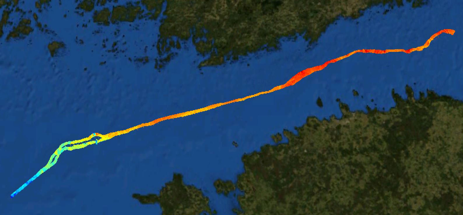
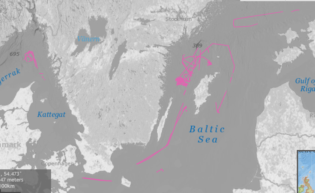
The Nord Stream 2 dataset covers a narrow zone of the pipeline. The pupose is reconnaissance surveys.