 Metadata catalogue
Geological Survey of Sweden (SGU)
Type of resources
Available actions
Topics
INSPIRE themes
Keywords
Contact for the resource
Provided by
Years
Representation types
Update frequencies
status
Service types
Scale
-
The data comprise unprocessed raw data (level 0 data) containing image and spectral data acquired by scanning of drillcores at SGU. Level 0 is typically the level at which raw hyperspectral data is captured during the scanning campaign and the data has not been processed i.e. no data correction, normalization or band subsetting has been performed on this data. The cameras in the scanner cover the visible-near infrared and short-wave infrared (VNIR-SWIR) and the long-wave infrared (LWIR). The combination of different infrared wavelength ranges increases the mineral detection capability. Objective information about the mineralogical composition of the drillcores is fundamental basics for interpretation and modeling of the rock and the geological evolution.
-
The data comprise image and spectral data acquired by scanning of drillcores at SGU. The cameras in the scanner cover the visible, short wavelength and long wavelength parts of the infrared spectrum. The combination of different infrared wavelength ranges increases the mineral detection capability. Objective information about the mineralogical composition of the drillcores is fundamental basics for interpretation and modeling of the rock and the geological evolution. Level 2 is a processing level where data has been prepared for further spectral processing and product generation. Note that mineral identification is not included in level 2. This requires further processing and interpretation of the data.
-
GE.Bedrock 1:1 000 000 is a transformed version of the SGU product Bedrock1:1 million with the purpose to conform to the Inspire data specification for Geology encoded according to GeoSciML 4.0. It is also a contribution to the OneGeology initiative (www.onegeoloy.org). Data is represented in a two-dimensional model of the top of the bedrock, describing identified geological units geometry, the material composition of the units and geologic events that has acted on the units. Shear displacement structures like faults on the top of bedrock are also included in the model. The main features of the bedrock geology of Sweden is represented in the produkt and since it is based on compilation of bedrock maps of different scales, age and quality the accuracy of the data varies within the dataset. The product is produced for presentation at the scale of 1:1 miilion which means that some units are heavily generalized.
-
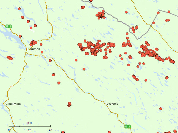
Drill cores contains georeferenced information on bore holes where cores kept at SGU has been taken. The material is collected during documentation-, exploration- or construction projects from all over Sweden
-
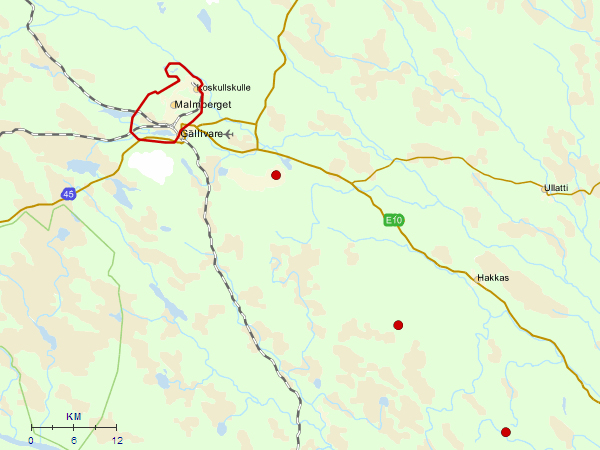
The view service shows areas that contain mineral deposits of national interest. The deposits at these sites consist of valuable substances or materials, such as natural stone, industrial minerals and metals, considered by SGU to be important. More than half of the areas of national interest are demarcated in detail; the remainder are merely marked by a dot on the map. An assessment is made in accordance with the Environmental Code (chapter 3, section 7 second paragraph). SGU is responsible for ensuring that the relevant county administrative boards and municipalities are provided with information on the areas that contain mineral deposits of national interest.
-
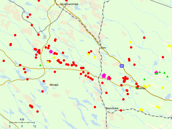
Mineral resources contains information on more than 13 000 deposits of metals, industrial minerals, industrial rocks and hydro carbons.. All deposits are described with name, location, type of deposit, economic status and references to literature. More comprehensive descriptions av host rock, minerals, alterations and metal grade etc are also present on many deposits.
-
The dataset contains exploration permits that are registered at the Mining Inspectorate. You can find information about a permit's id, the name of a permit, owner of a permit and the period of validity for a permit The information is updated once a month.
-
The mineral and bedrock resource database contains information concerning mineral, bedrock and hydrocarbon resources in Sweden. The database includes information on minor occurrences as well as deposits where metals, industrial minerals or bedrock have been or are being exploited economically.
-
This service is an OGC Web Feature Service to deliver data for the INSPIRE theme Mineral Resources. The underlying dataset is harmonized according to specifications from various EU projects, including Minerals4EU and ProSUM, and contains information on mineral deposits, mines, production and mining waste. The dataset is based on SGU's mineral resources database (“Mineralresursdatabas” that contains point data on mineral occurrences and deposits), as well as compilations of tonnage and grade data from SGU's ore (“Malm”) database.
-
GE.Bedrock 1:50 000 - 1:250 000 is a simplified and transformed version of SGU's bedrock information in the scale of 1:50 000 - 1:250 0000 and conforms to the Inspire dataspecification for Geology through encoding according to GeoSciML 3.2