Metadata catalogue
Search
Map
Sign in
Search
Contact for the resource
EMODNet Bathymetry
1 record(s)
Type of resources
Dataset
(1)
Topics
Oceans
(1)
INSPIRE themes
Hydrography
(1)
Keywords
Hydrography
(1)
Gravity, magnetics and bathymetry
(1)
Bathymetry and Elevation
(1)
Delayed
(1)
There is detailed information provided to understand data policy
(1)
Search via reference catalogue (e.g. MyOcean, GEOSS Geoportal…)
(1)
Format not proprietary and content clearly specified (e.g. autodescriptive like ODV, NetCDF CF) or at least with appropriate document describing the content
(1)
High level analyzed
(1)
Online discovery + downloading + viewing services (Advanced services)
(1)
The datasets are provided through an EU Inspire catalogue service (OGC)
(1)
Submitted
(1)
Atlantic - CH07 - Fisheries Impact
(1)
Seabed - Riverbed
(1)
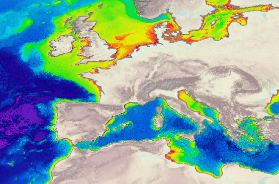
Sea-floor depth (below mean sea level) {bathymetric depth}
(1)
Bathymetric depth
(1)
Contact for the resource
Marine Institute
(1)
EMODnet Secretariat
(1)
EMODNet Bathymetry
(1)
Provided by
ffc9e044-9f23-41b3-93c9-e050884e8db6
(1)
Formats
GeoTIFF
(1)
Representation types
Vector
(1)
Update frequencies
As needed
(1)
Resolution
125 meter
(1)
From
1
-
1
/
1
Bathymetry and Elevation | Sea-floor depth (below mean sea level) {bathymetric depth} | EMODnet Secretariat | EMODnet Bathymetry
About
Github
 Metadata catalogue