 Metadata catalogue
Contact for the resource
Danish Geodata Agency, Danish Hydrographic Office
Type of resources
Available actions
Topics
INSPIRE themes
Keywords
Contact for the resource
Provided by
Years
Formats
Representation types
Scale
Resolution
From
1
-
2
/
2
-
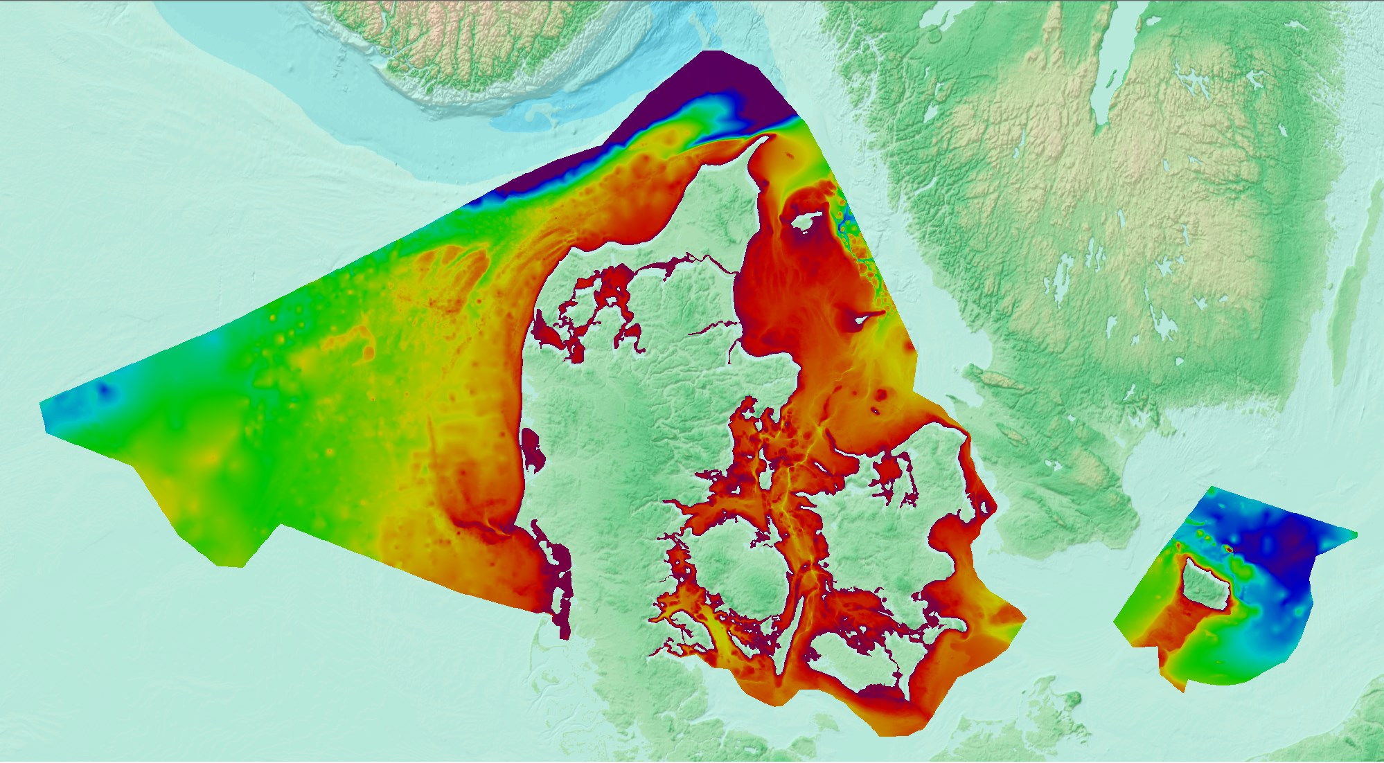
Denmark’s Depth Model (DDM) is a depth-averaged digital bathymetric model, covering Denmark’s Exclusive Economic Zone (EEZ). The model has a grid resolution of 50 meters and is based on a collection of hydrographic survey datasets and other sources.
-
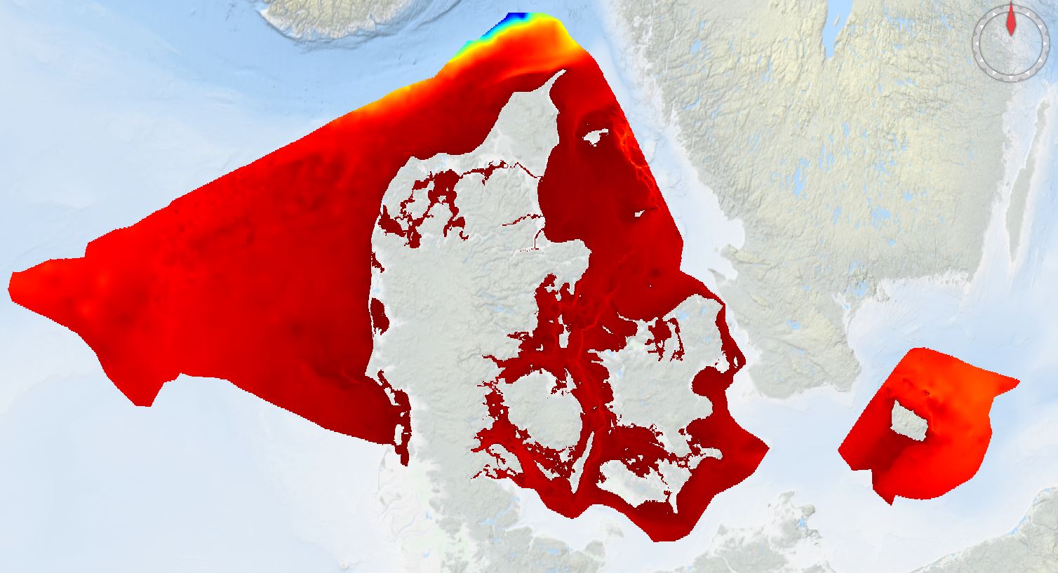
Denmark’s Depth Model (DDM) is a depth-averaged digital bathymetric model, covering Denmark’s Exclusive Economic Zone (EEZ). The model has a grid resolution of 50 meters and is based on a collection of hydrographic survey datasets and historical sources.