 Metadata catalogue
sound velocity sensors
Type of resources
Topics
INSPIRE themes
Keywords
Contact for the resource
Provided by
Years
Formats
Representation types
Update frequencies
status
Scale
Resolution
-

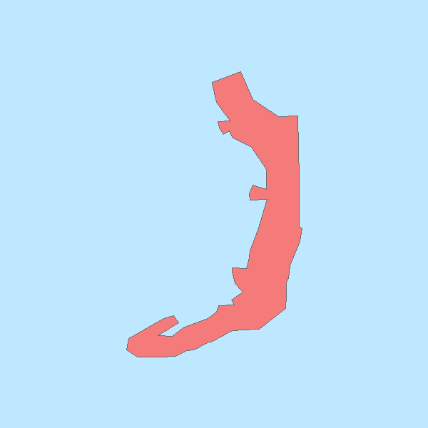
The DTM is produced with Teledyne multibeam echosounder survey, acquired in March 2023 by Marine Research Ltd. The resolution 5m x 5m. It is located at Sulina, Romania, on the coastal region of the Black Sea. Depths are referenced to the Local Sea Level - Marea Neagra 1975 (Mean Sea Level) and the coordinates are expressed into the WGS84 reference frame.
-

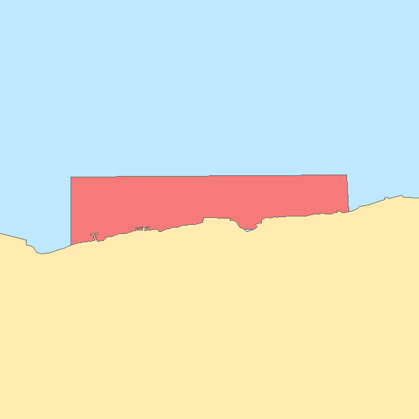
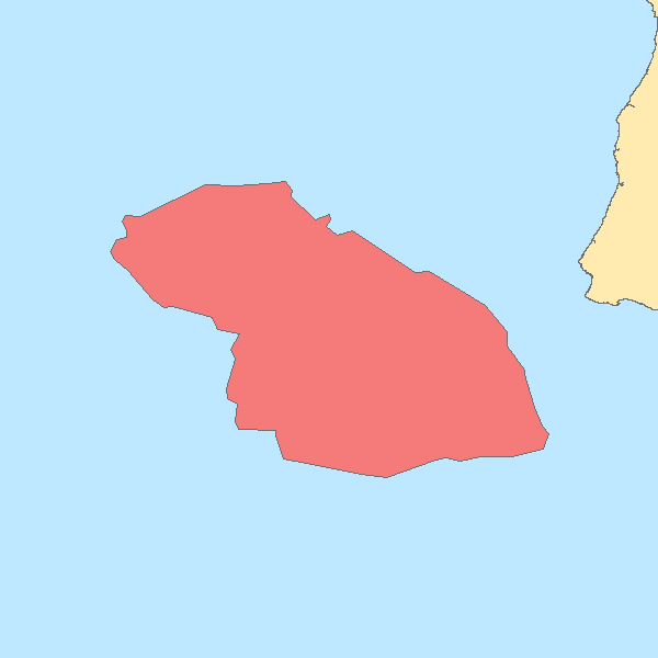
Hydrographic survey performed by the Portuguese Hydrographic Institute (IHPT) using echosounders. The depth values are referred to the Portuguese Chart Datum.
-
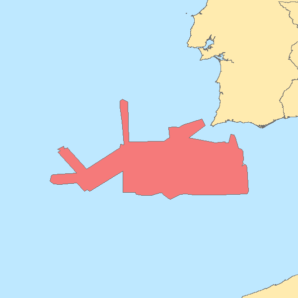
Hydrographic survey performed by the Portuguese Hydrographic Institute (IHPT) using echosounders. The depth values are referred to the Portuguese Chart Datum.
-
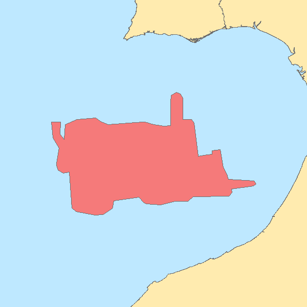
Hydrographic survey performed by the Portuguese Hydrographic Institute (IHPT) using echosounders. The depth values are referred to the Portuguese Chart Datum.
-
Hydrographic survey performed by the Portuguese Hydrographic Institute (IHPT) using echosounders. The depth values are referred to the Portuguese Chart Datum.
-
Hydrographic survey performed by the Portuguese Hydrographic Institute (IHPT) using echosounders. The depth values are referred to the Portuguese Chart Datum.
-
Hydrographic survey performed by the Portuguese Hydrographic Institute (IHPT) using echosounders. The depth values are referred to the Portuguese Chart Datum.
-

Hydrographic survey performed by the Portuguese Hydrographic Institute (IHPT) using echosounders. The depth values are referred to the Portuguese Chart Datum.