 Metadata catalogue
photomosaic
Type of resources
Available actions
Topics
Keywords
Contact for the resource
Provided by
Years
Formats
-
Photomosaics acquired by ROV Victor during dives #653, #654, #655, and #658, along the Roseau Fault (French Antilles). The images, acquired with the ROV vertical camera, were positioned and scales using ROV navigation only (no feature matching, renavigation and reprojection). Images are corrected for uneven illumination. Photomosaics are presented in folders for each dive, and include a Geotiff (.tif) and a location file (.tfw). All photomosaics are in projection WGS84 UTM 20N.
-
Black and white seafloor photomosaic of the Lucky Strike hydrothermal field and the ridge axis to the South, acquired with VICTOR6000 during the Bathyluck 2009. Individual still images were matched, corrected for uneven illumination, renavigated and blended for a seamless photomosaic. This data release includes partial geotiffs covering the whole surveyed area. To be cited: Gini et al. (submitted); Barreyre et al. (2012); Escartin et al. (2013); Escartín et al. (2015).
-
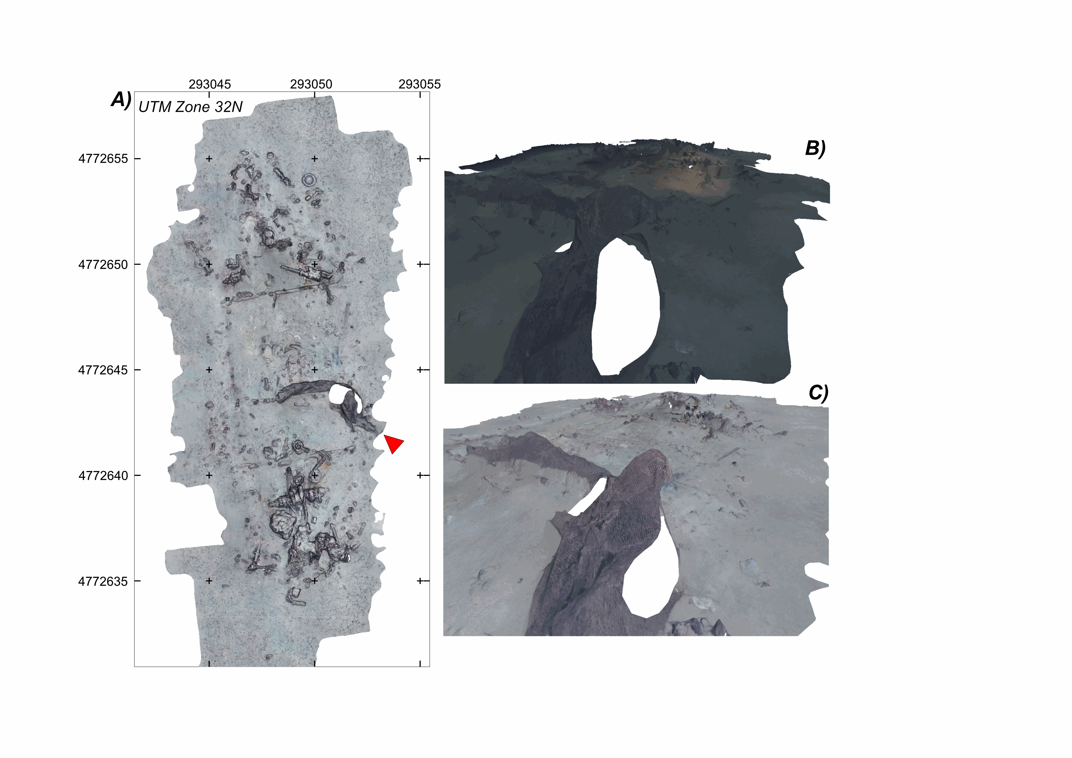
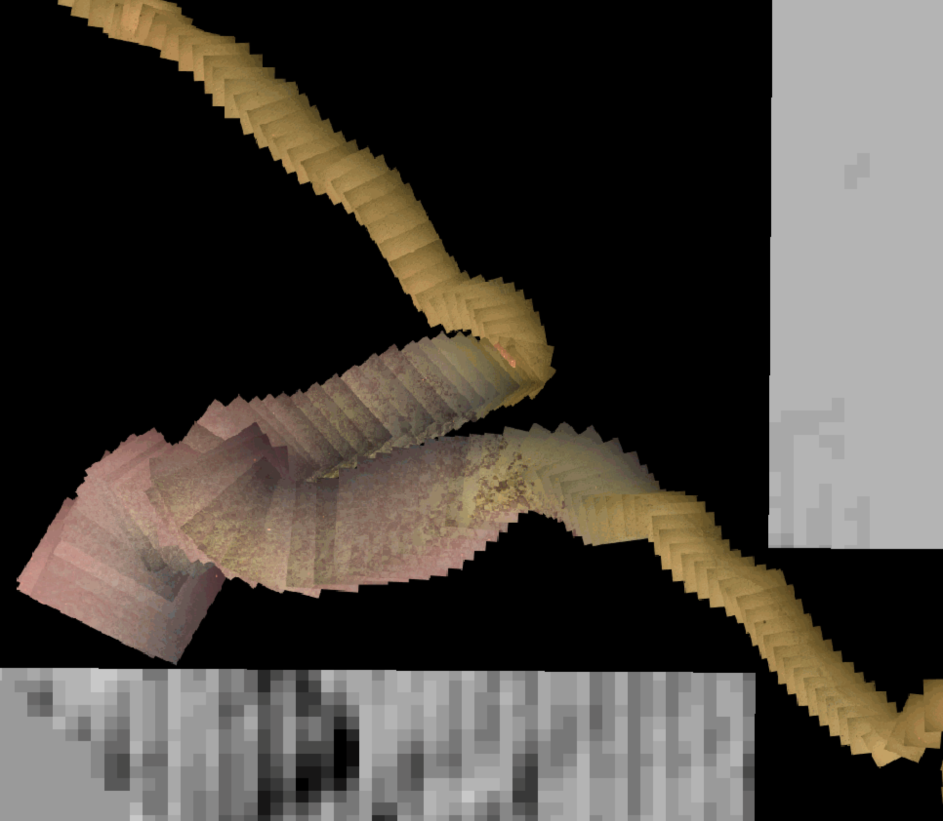
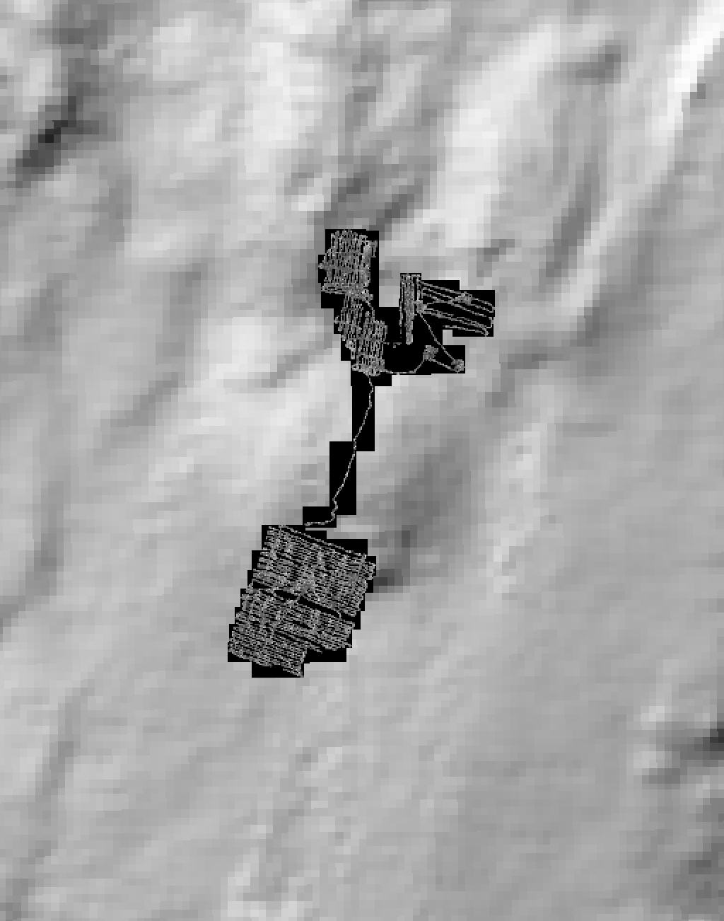
Litter site at the seafloor, off the southern French Mediterranean coast (43.078°N;6.458°E), at a water depth of ~600 m This litter field was surveyed using the HROV Arianne in 2017, deployed from N/O L’Europe, and equipped with a vertical electronic still camera. Two datasets are provided. First, the survey imagery, under a folder named carthorov_dump, that consists of 303 images (jpeg format) and an associated navigation file in dim2 format. Second, 2 folders with 3D textured models of the site (obj format), each with a kml file for georeferencing, and an geotiff orthomosaic. A first model is the result of processing imagery without data correction (folder WithoutAnyCorrection). A second model is processed with image colour correction (folder WithColorAndIlluminationCorrection). This dataset is one of several released with a paper by Arnaubec et al. (submitted March 2021, Computer and Geosciences) presenting the Matisse image processing software and the 3DMetrics Visualization and analysis software and released as open source (ref Github to come). Ref: Arnaubec, A., J. Escartín, J. Opderbecke, M. Matabos, N. Gracias, submitted, Underwater 3D terrain reconstruction from video or still imagery: Processing and exploitation software (MATISSE \& 3DMETRICS), in prep., Computers and Geosciences.