 Metadata catalogue
ocean
Type of resources
Available actions
Topics
INSPIRE themes
Keywords
Contact for the resource
Provided by
Years
Formats
Representation types
Update frequencies
status
Service types
Scale
Resolution
-
EMODnet (Chemical data) Map Server with ocean climatologies.
-
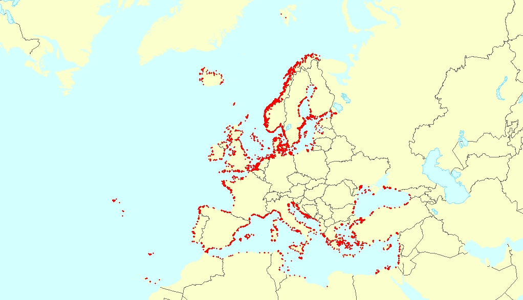
The record includes global land areas and coastal lines. It is based on the freely available data base GSHHS (A Global Self-consistent, hierarchical, high-resolution Shoreline Database) from Wessel and Smith. GSHHS is a high-resolution record of coastal paths, by merging two data sets from the "public domain". The original records were extensive edited by the GSHHS originators, and are now internally consistent and free of maverick points and intersecting lines. The coast lines are completely closed to polygons. According to the original data set are 5 stages of resolution made available: crude, low, medium, high, and full resolution. In the German coastal area, the coastal courses of the highest level of resolution are exchanced through accurate ECDIS ENC data of the BSH.
-
This vector dataset represents the benthic broad habitat types in Europe seas potentially affected by anchoring. The anchoring of vessels can produce damages to the seafloor and the loss of the habitat where it happens. It takes place in shallow waters, close to ports, where vessels have to wait for a spot in the port so they can load or offload (since ports have a limited amount of dockage). The anchoring areas allow vessels to safely anchor in protection from bad weather or other circumstances. The type of alterations to the habitats resulting from anchoring depend mainly on the dimensions and type of the anchor, as well as its movement resulting from the movement of the vessel due to currents or waves, which can increase the adverse effects. The dataset has been prepared in the context of the development of the first European Maritime Transport Environmental Report (to be published as an EMSA-EEA report in 2021).
-

This vector dataset represents the benthic broad habitat types in Europe Seas potentially affected by the ship wakes. When navigating, the propellers of ships generate a turbulent mixing of the water that can produce sediment re-suspension in soft bottoms of shallow areas. This can increase the turbidity in those areas, affecting the seafloor organisms (especially those that are directly dependent on light, such as aquatic plants). It may also contribute to an increase of the the eutrophication level of the ecosystem (since the turbid waters may become warmer, which may turn into a reduction of dissolved oxygen in water). Finally, turbidity can produce an increase in the inputs of contaminants and microbial pathogens, since those can become attached to the suspended solids. The dataset has been prepared in the context of the development of the first European Maritime Transport Environmental Report (https://www.eea.europa.eu/publications/maritime-transport).