 Metadata catalogue
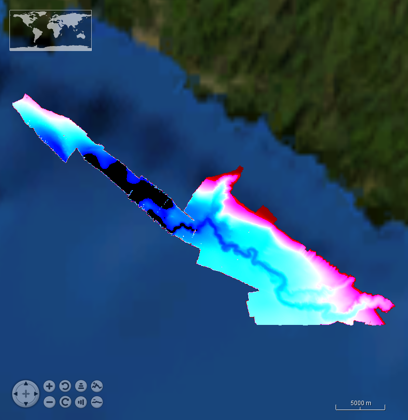
mean low water springs
Type of resources
Topics
INSPIRE themes
Keywords
Contact for the resource
Provided by
Years
Representation types
Scale
Resolution
-
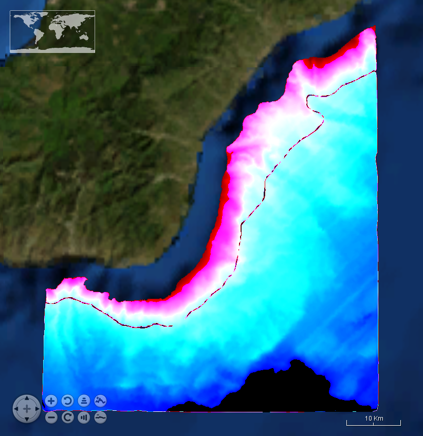
Systematic survey performed by Italian Navy Hydrpgraphic vessels with Multibeam EchoSounder
-
Systematic survey performed by ITS MAGNAGHI with Multibeam EchoSounder
-
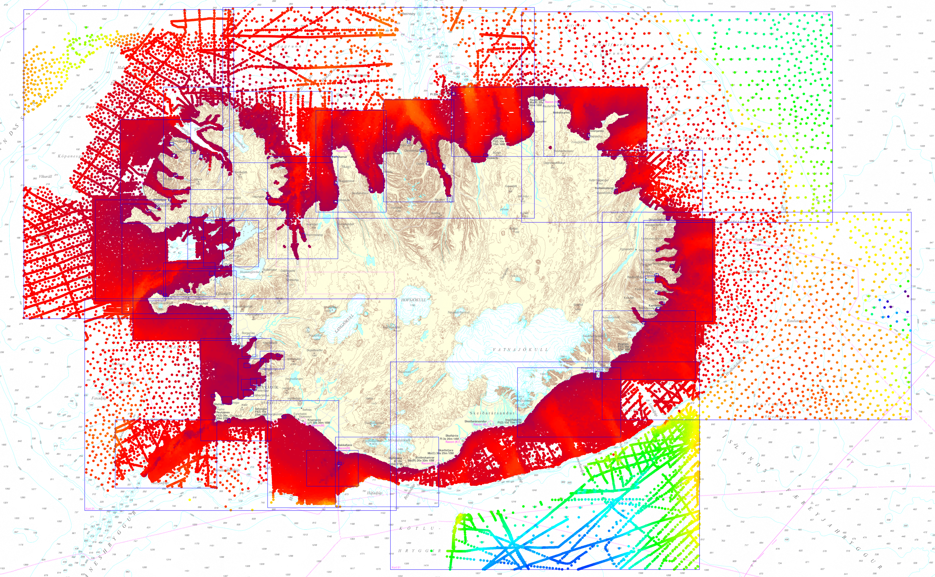
Depth data extracted from Icelandic Coast Guard Hydrographic Survey dataset which Icelandic charts are compiled from. The dataset is made up of CARIS Editor chart files for all Icelandic charts (mid-year 2019). The depth data is at various resolutions and originates from both single beam surveys starting from 1930 to latest multibeam surveys.
-
Systematic survey performed by ITS GALATEA with Multibeam EchoSounder
-
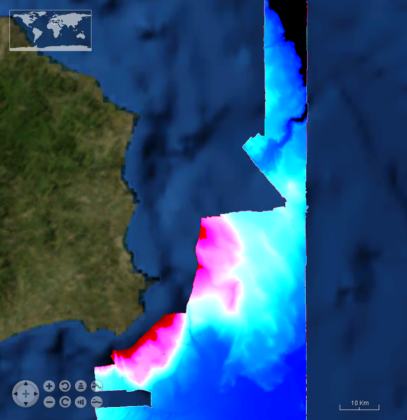
Systematic survey performed by Italian Navy Hydrographic vessels with Multibeam EchoSounder
-
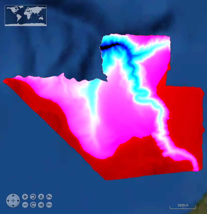
This is a compilation of bathymetric data acquired by the Croatian Hydrographic Institute in the years 1960-2018 by means of different multibeam and single beam systems for hydrographic purposes. The areas investigated are offshore and approach to Split and Split harbour, bay of Kastela
-

Systematic survey performed by ITS ARETUSA with Multibeam EchoSounder Simrad EM2040C