 Metadata catalogue
hydrography
Type of resources
Topics
Keywords
Contact for the resource
Provided by
Years
Formats
Representation types
Update frequencies
status
Scale
-

The map sheet: 1. Carte schématique des stations hydrologiques en Nouvelle Calédonie. Scale of 1:1 660 000. Date of publication: unknown.
-

The map sheet: 1. Les grandes régions. Scale of 1:1 000 000. Date of publication: 1958.
-
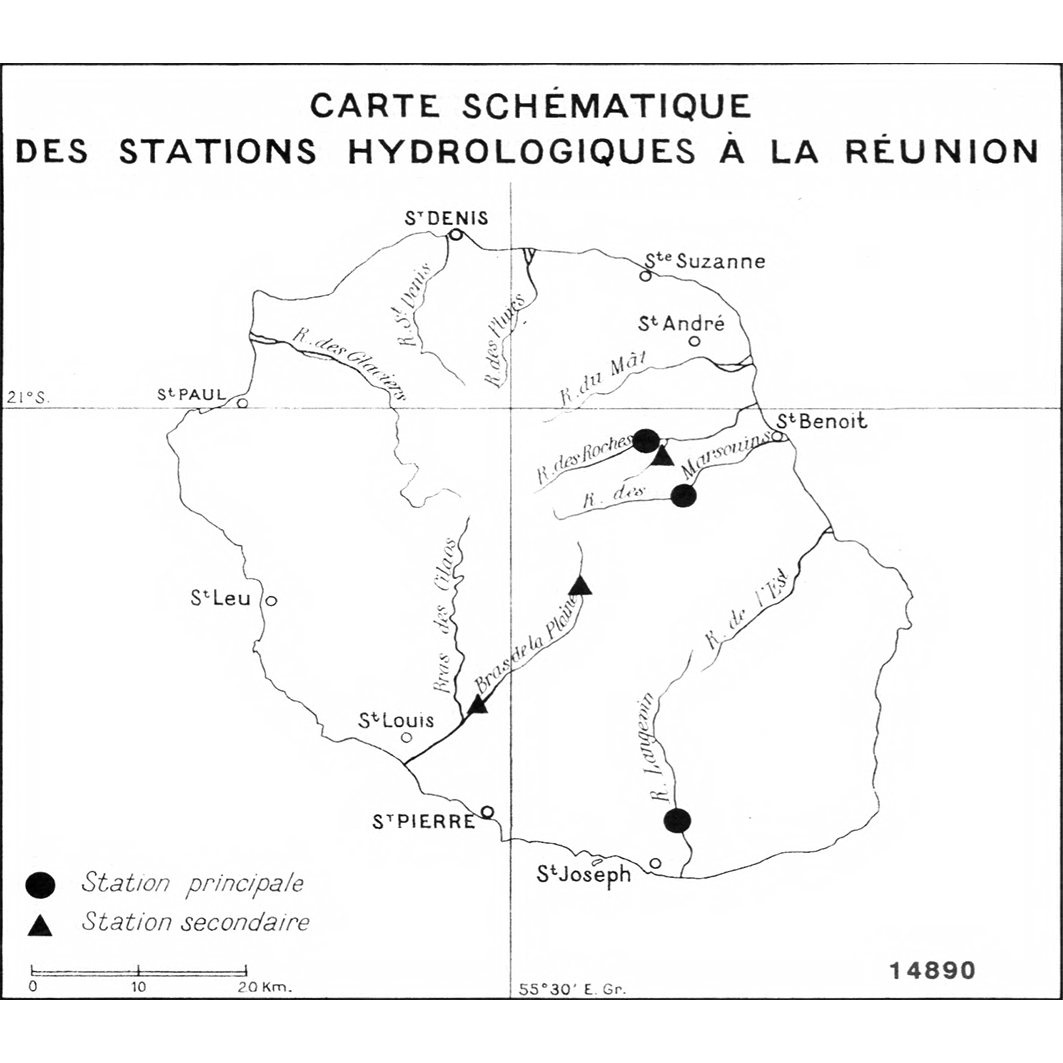
The map sheet: 1. Carte schématique des stations hydrologiques à la Réunion. Scale of 1:570 000. Date of publication: unknown.
-

The map sheet: 1. Plan de la lagune Ébrié : feuille Dabou : D25 : Côte d'Ivoire. Scale of 1:50 000. Date of publication: 1947.
-

The map sheet: 1. République Malgache. Scale of 1:6 500 000. Date of publication: 1971.
-

The map sheet: 1. Abidjan : système lagunaire Ebrié. Scale of 1:100 000 to 1:50 000. Date of publication: 1977.
-

The map sheet: 1. Carte du département de la Guyane française. Scale of 1:1 200 000. Date of publication: 1957.
-

Data of the Nautical Hydrographic Informationsystem. These data contain the floating and fixed navigational marks, information about the depths, further information about navigation in the sea and land areas of the german part of the Exclusive Economic Zone (EEZ).
-

A set of 4 map sheets: 1. Carte géologique : bassin de la Sanaga : carte II. Scale of 1:5 000 000. Date of publication: 1975. 2. Croquis pédologique du bassin de la Sanaga : carte III. Scale of 1:5 000 000. Date of publication: 1975. 3. Isohyètes interannuelles : période homogéneisée 1930-1931 à 1969-1970 : bassin de la Sanaga : carte IV. Scale of 1:5 000 000. Date of publication: 1975. 4. Réseau hydrographique hypsométrie : bassin de la Sanaga : carte I. Scale of 1:5 000 000. Date of publication: 1975.
-

A set of 8 map sheets: 1. Carte 1 : l'eau, 1980 -1990. Scale of 1:500 000. Date of publication: 1994. 2. Carte 2 : croquis morpho-pédologique. Scale of 1:500 000. Date of publication: 1994. 3. Carte 3 : répartition de la population recensée, 1987. Scale of 1:500 000. Date of publication: 1994. 4. Carte 4 : les pêcheurs et la pêche. Scale of 1:500 000. Date of publication: 1994. 5. Carte 5 : emprise agricole et pastorale. Scale of 1:500 000. Date of publication: 1994. 6. Carte 6 : communications et marchés. Scale of 1:500 000. Date of publication: 1994. 7. Carte 7 : l'histoire du peuplement et la structuration du delta. Scale of 1:500 000. Date of publication: 1994. 8. Carte 8 : les changements dans le delta central. Scale of 1:500 000. Date of publication: 1994.