 Metadata catalogue
groundwater
Type of resources
Available actions
Topics
INSPIRE themes
Keywords
Contact for the resource
Provided by
Years
Formats
Representation types
Update frequencies
status
Service types
Scale
-
Raster data of the geological map used for HOVER WP3 D3-5b Geology
-
Pointdata produced in HOVER WP3 D3-5b - HGT and BRC concentrations for As and F
-
Data for D3-5b BRC webservice
-
Observed groundwater temperature at a defined depth interval or for a single point.
-
Areas suited for groundwater disposal to surface water or municipal drains.
-
The depth above or below sea level at which the surface of groundwater stands.
-
Areas dedicated to drinking water or curative water supply, which might limit the use of shallow geothermal energy.
-
sqlite dataset for HOVER WP3 D3.5c
-
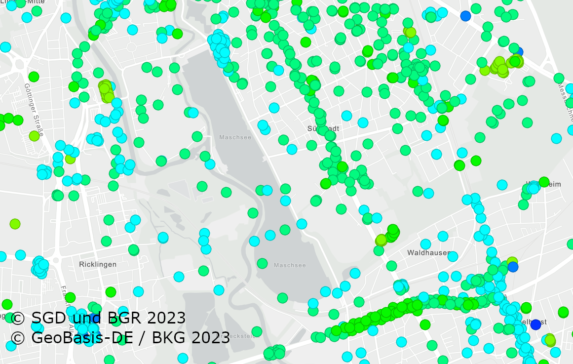
The German Borehole Locations (GBL) contains all disposable borehole data in the Federal Republic of Germany provided by the German Survey Organizations (GSO). The 16 GSO are responsible for data storage, processing and transmission of all borehole related data. In the context of a nationwide cooperation project the header information of borehole data is collected by the BGR via the exchange format BoreholeML to establish a centralized access point. This service permits an easy access to the accumulated borehole data from the participating federal states. The first two aggregated layer show the drilling density distribution in a defined raster, while the single locations only appear in greater scales. The header data is queriable from each location. The web application Borehole Map Germany makes use of this service as one major source https://boreholemap.bgr.de/
-
The German Borehole Locations (GBL) contains all disposable borehole data in the Federal Republic of Germany provided by the German Survey Organizations (GSO). The 16 GSO are responsible for data storage, processing and transmission of all borehole related data. In the context of a nationwide cooperation project the header information of borehole data is collected by the BGR via the exchange format BoreholeML to establish a centralized access point. This service permits an easy access to the accumulated borehole data from the participating federal states. The first two aggregated layer show the drilling density distribution in a defined raster, while the single locations only appear in greater scales. The header data is queriable from each location. The web application Borehole Map Germany makes use of this service as one major source https://boreholemap.bgr.de/