 Metadata catalogue
United Kingdom
Type of resources
Available actions
Topics
Keywords
Contact for the resource
Provided by
Years
Formats
Representation types
Update frequencies
status
Service types
Scale
-
United Kingdom Maritime boundaries comprise: - Territorial Sea - Exclusive Economic Zone - Continental Shelf - Adjacent Waters
-

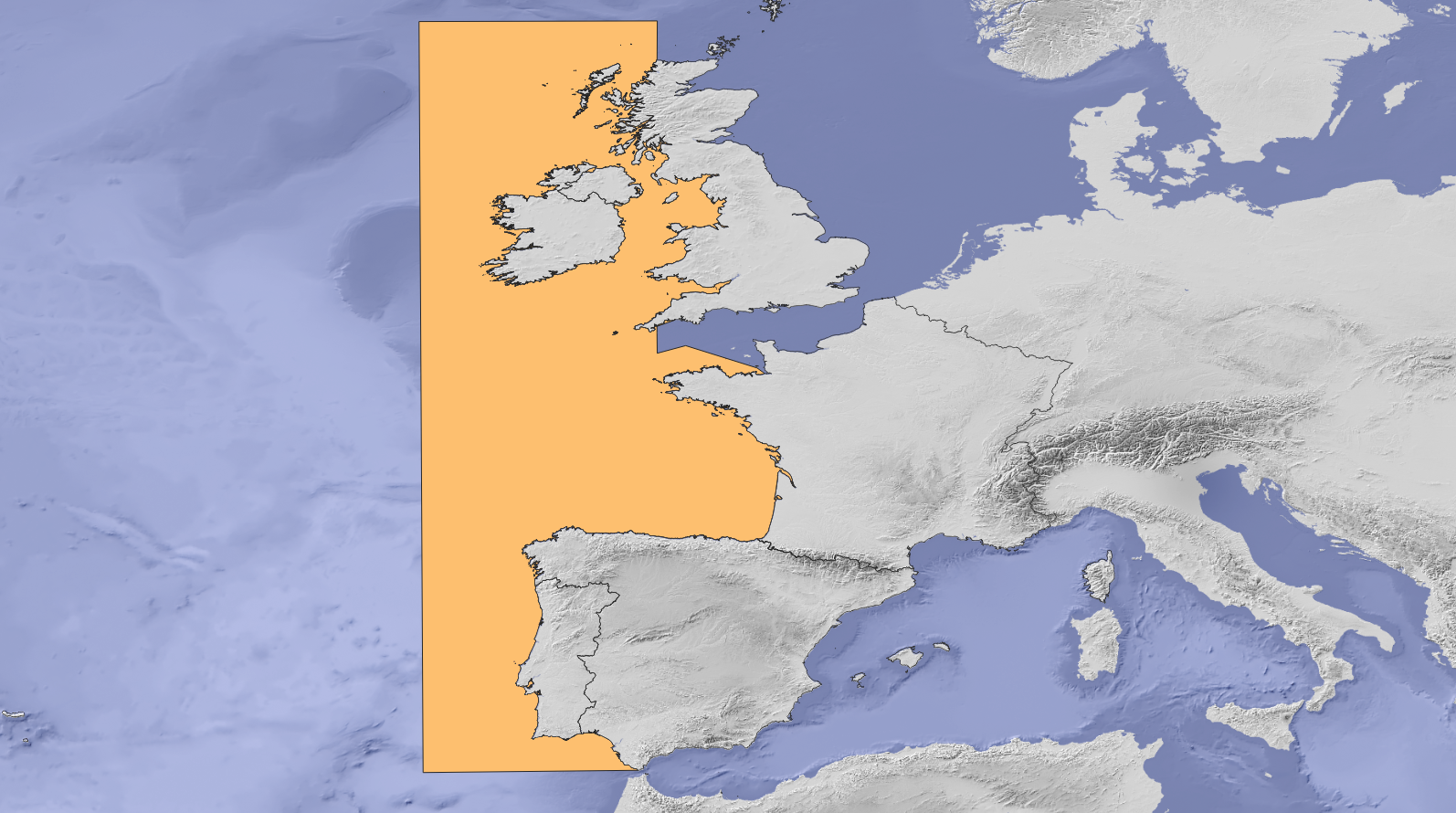
Study area of SIMCelt Project, composed of OSPAR zone 3 with an extension to Western Channel
-
INSPIRE Cadastral Parcels is a dataset maintained and produced by the Registers of Scotland to comply with the INSPIRE Directive. It is a sub-set of the Cadastral Map and contains the location of ownership polygons at ground level in Scotland. The polygons contained within the dataset are shapes that show the position and indicative extent of ownership of the earth’s surface for each registered property. Each cadastral parcel has a unique identifier called the inspire id that relates to a registered title on Scotland’s Land Register. The extent of rights and land contained within a title registered in the land register cannot be established from the cadastral parcel. This service provides access to each of the 33 Registration Counties as a pre-defined dataset in csv format or as an ATOM feed. For more detailed information on land and property data in Scotland you can search free at https://scotlis.ros.gov.uk/.
-
The study area of SIMAtlantic Project composed by Ospar III and IV regions
-

A set of 2 map sheets: 1. Zones économiques des 200 milles nautiques du Pacifique sud = 200 nautical mile economic zones in the south Pacific. Scale of 1:13 000 000. Date of publication: 1977. 2. Zones économiques des 200 milles nautiques du Pacifique sud, central et ouest = 200 nautical mile exclusive economic zones in the south, central and western Pacific. Scale of 1:13 000 000. Date of publication: 1978.