 Metadata catalogue
Species distribution
Type of resources
Available actions
Topics
INSPIRE themes
Keywords
Contact for the resource
Provided by
Years
Formats
Representation types
Update frequencies
status
Service types
Scale
Resolution
-
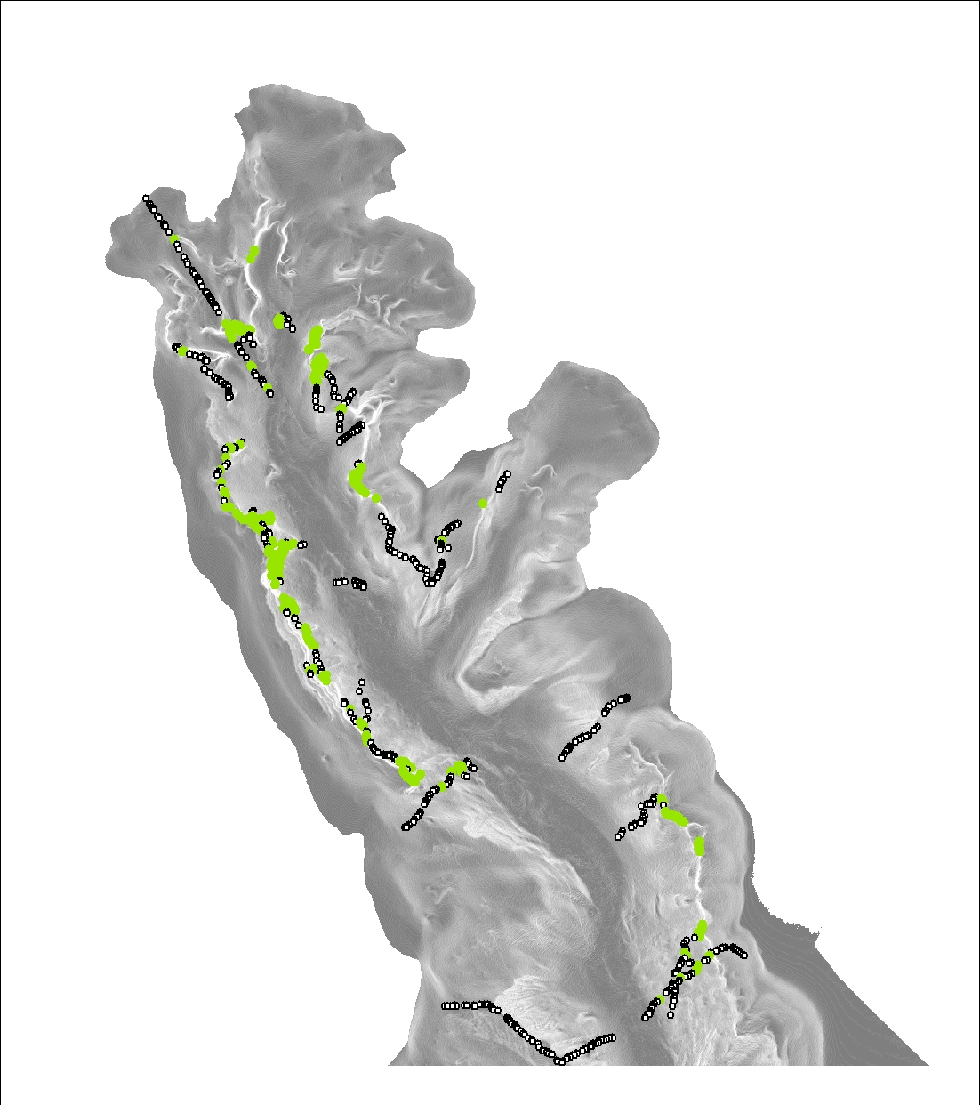
The Standing Waters Sample Points dataset is a GIS dataset of survey sample locations used during the course of the Scottish Loch Survey Project. The statutory nature conservation agencies in Scotland, England and Wales have a long history of carrying out routine aquatic plant (macrophyte) surveys of lakes. This involves identifying and estimating the abundance of emergent, submerged, floating leaved, and free-floating macrophytes that grow in or near the water. The results of these surveys are held in the Standing Waters Database which is available to view on the SNH website. (http://gateway.snh.gov.uk/pls/apex_cagdb2/f?p=111:1000:1289803086875801).
-

Article 12 requires Member States to report about the progress made with the implementation of the Birds Directive. The Commission, in agreement with Member States, has revised the reporting procedure in order to focus the reporting on data that inform about the status of bird populations, thereby streamlining to an extent the reporting with the reporting under Article 17 of the Habitats Directive.
-
Layers relate to: the components of Priority Marine Features (PMF), MPA Search features (Black guillemot or Large-scale features of functional significance used to underpin the selection of Nature Conservation Marine Protected Areas (NC MPA)). Our knowledge about the marine environment, and about which locations should be recommended as MPAs, comes from a range of sources: from targeted surveys led by SNH, JNCC and Marine Scotland focussed on marine habitats and species relevant to Priority marine Features (PMF), survey work conducted by industry, volunteers recording information while enjoying the marine environment for recreation. Information varies from recent to much older. There are a number of different types of data which have been collected using a range of different methods. Data has been placed into a standardised structure to support its use. Depending on who collected them, and for which purpose, some data were in a format we could use immediately while other data needed to be processed before they were able to be used in the Scottish MPA project. The information has been collated in a computer database called GeMS (Geodatabase for Marine Habitats and Species adjacent to Scotland) and has underpinned much of the Scottish Marine Protected Areas process. These layers update and build upon mapping presented in Baxter et al., 2011. Scotland's Marine Atlas: Information for the national marine plan. Marine Scotland, Edinburgh. pp.191
-

The information gathered is part of Descriptor 1 of Commission Decision 2017/848/EU: specifically D1C6 (pelagic habitats). Plankton communities constitute an important component of such water column habitats, forming the base of marine foodwebs. The composition of these communities can provide a good indication of the status of pelagic ecosystems, also because plankton responds to anthropogenic pressures, in particular nutrient enrichment. In fact, this dataset includes a list of phytoplankton and zooplankton up to the lowest possible taxonomic scale and includes a count of abundance.
-

Data on the invasive alien species of Union concern distribution occurring in Malta for reporting under Article 24 point 1 Regulation 1143/14 for the period 2015-2018.
-
This service contains layers with data about various species distribution and habitat mapping surveys and modelling products.
-
This dataset is a wgs84 shapefile of 1546 presence and absence of Madrepora oculata in the Lacaze-Duthiers Canyon, at a 5-m resolution. It was scaled to match the 5-m resolution of the bathymetry used for the Habitat Suitable Modeling. This dataset is produce in the framework of the European H2020 project REDRESS (Restoration of Deep-Sea Habitats to Rebuild European Seas https://redress-project.eu/ Grant Agreement No 101135492). This dataset is related to the article “Mapping and Conservation of Cold-Water Corals in the Lacaze-Duthiers Canyon for Transboundary Management” submitted to Mediterranean Marine Science by Fabri et al. in 2025.
-

This dataset is a wgs84 shapefile of 1465 presence and absence of cold-water corals (Scleractinaria Madrepora oculata and Desmophylum pertusum, syn. Lophelia pertusa) in the Lacaze-Duthiers Canyon, at a 10-m resolution. It was scaled to match the 10-m resolution of the bathymetry used for the Habitat Suitable Modeling. This dataset is produce in the framework of the European H2020 project REDRESS (Restoration of Deep-Sea Habitats to Rebuild European Seas https://redress-project.eu/ Grant Agreement No 101135492). This dataset is related to the article “Mapping and Conservation of Cold-Water Corals in the Lacaze-Duthiers Canyon for Transboundary Management” submitted to Mediterranean Marine Science by Fabri et al. in 2025.
-
The requirement to display sensitive areas relating to the life history of commercially important fish species in British waters is well recognized. Sensitive areas have previously been described as spawning and nursery grounds. Here we consider only areas where there is evidence of aggregations of 0 group fish and/or larvae of key commercial species. 0 group fish are defined as fish in the first year of their lives. These fish sensitivity maps were originally generated to provide a spatial and temporal description of where physical damage could potentially occur to fish species at sensitive stages in essential habitats of their life cycle. Sources of damage in this context referred to seismic surveying conducted by the offshore Oil and Gas industry during their site investigations. In addition to the acoustic energy that the seismic survey activities generate, we should now add other percussive impact noises from pile driving seabed foundation pins into the seabed, such as those required for offshore renewable energy sites. The spatial location of these fish life history events and their potential interaction with offshore industries can heavily influence the planning, costs and delivery of these offshore developments. It is imperative that these maps reflect the current extent of these areas.
-

The information gathered is part of Descriptor 1 of Commission Decision 2017/848/EU: specifically D1C6 (pelagic habitats). Phytoplankton communities constitute an important component of such water column habitats, forming the base of marine foodwebs. The composition of these communities can provide a good indication of the status of pelagic ecosystems, also because plankton responds to anthropogenic pressures, in particular nutrient enrichment. Surface chlorophyll-a levels can also be used to characterise pelagic habitats in oceanic waters of the Mediterranean Sea, on the basis of the importance of productivity in describing marine ecosystems and food availability. This dataset includes quantitative information including the density of phytoplankton in cells/l, chlorophyll-a in ug/l and the diatom/dinoflagellate ratio.