 Metadata catalogue
Sea level
Type of resources
Topics
INSPIRE themes
Keywords
Contact for the resource
Provided by
Formats
Representation types
Update frequencies
-

The Balearic RIssaga Forecasting System (BRIFS) aims at quantitatively predicting the occurrence of extreme sea level oscillations associated with meteotsunamis in the Menorcan harbour of Ciutadella. Combining both atmospheric and oceanic modelling, the system is run once a day in the morning and provides a 48-hour prediction of air pressure disturbances and associated sea level response over the Balearic shelf and in Ciutadella harbour.
-
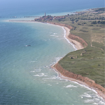
Oceanographic data is available in real time and delayed mode from across the NOMOS facilities. Including physical and biogeochemical variables from platforms such as moorings, floats, ferryboxes and coastal stations. The data can be accessed through Bulgarian Oceanographic Data Centre. In addition a variety of interactive tools to help visualize the data are available through the BGODC website. All data are available for download.
-
-
Oceanographic data is available in real time and delayed mode from across the NOMOS facilities. Including physical and biogeochemical variables from platforms such as moorings, floats, ferryboxes and coastal stations. The data can be accessed through Bulgarian Oceanographic Data Centre. In addition a variety of interactive tools to help visualize the data are available through the BGODC website. All data are available for download.
-

Beach Lifeguards (SocorristaIB) Seaboard (http://seaboard.socib.es/lifeguard) and SocorristaIB mobile app (https://play.google.com/store/apps/details?id=com.socib.lifeguards&hl=en) provide atmospheric and oceanographic variables interpolated from numerical prediction models (oceanographic and atmospheric) at the points closest to the Balearic 352 beaches where there lifeguard service mesh.