 Metadata catalogue
Project DYNFORDIV
Type of resources
Available actions
Topics
Keywords
Contact for the resource
Provided by
Years
Formats
Representation types
Update frequencies
status
Resolution
-

Subset of the Pléiades image that covers the northern part of the experimental station Paracou in French Guiana.
-

Subset of the image that covers the area around Saint Georges in French Guiana.
-

Subset of the image that covers the area around Saint Georges in French Guiana.
-

The image covers the site Rivière Grand Inini in the center of French Guiana.
-

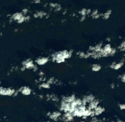
Subset of the image that covers the experimental site Nouragues in French Guiana.
-

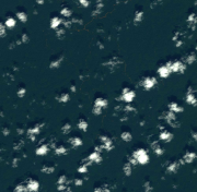
Subset of the image that covers the experimental site Paracou in French Guiana.
-

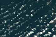
Subset of the image that covers the experimental site Paracou in French Guiana.
-
Subset of the image that covers the area around Régina in French Guiana.
-
Subset of the image that covers the area around Régina in French Guiana.
-
Subset of the image that covers the area around Saint Georges in French Guiana.