 Metadata catalogue
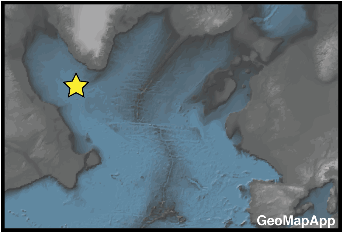
North Atlantic
Type of resources
Available actions
Topics
INSPIRE themes
Keywords
Contact for the resource
Provided by
Years
Formats
Update frequencies
status
Service types
-

Metorological and oceanographical data of the North and Baltic Sea, North Atlantic and Mediterranean Sea.
-
Metorological and oceanographical data of the North and Baltic Sea, North Atlantic and Mediterranean Sea.
-
Disrupting North Atlantic Deep Water (NADW) ventilation is a key concern in climate projections. We use (sub)centennially resolved bottom water d13C records that span the interglacials of the last 0.5 million years to assess the frequency of and the climatic backgrounds capable of triggering large NADW reductions. Episodes of reduced NADW in the deep Atlantic, similar in magnitude to glacial events, have been relatively common and occasionally long-lasting features of interglacials. NADW reductions were triggered across the range of recent interglacial climate backgrounds, which demonstrates that catastrophic freshwater outburst floods were not a prerequisite for large perturbations. Our results argue that large NADW disruptions are more easily achieved than previously appreciated and that they occurred in past climate conditions similar to those we may soon face.
-
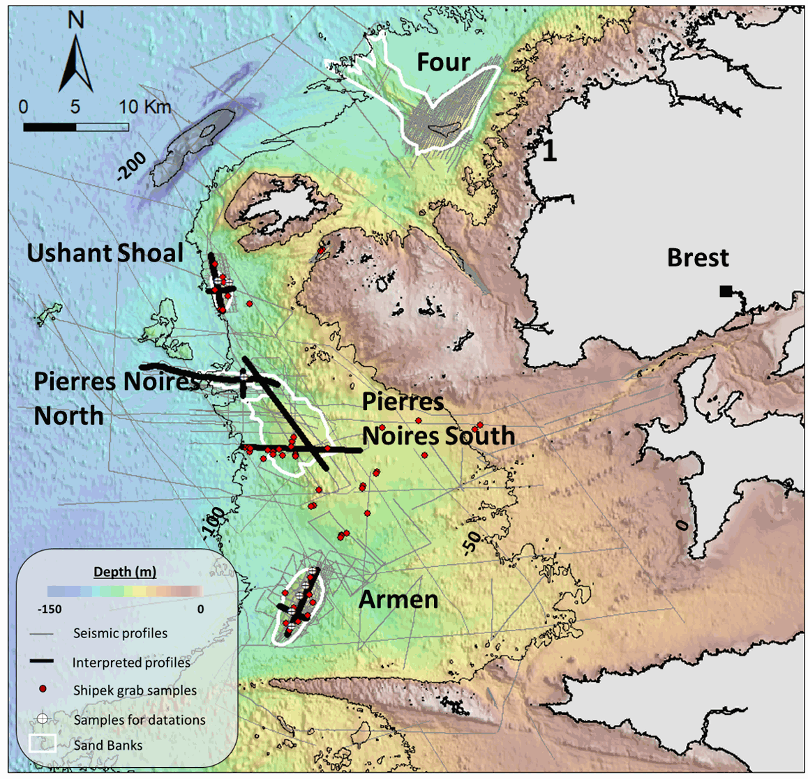
This seismic dataset came from surveys carried out by the “Institut Universitaire Européen de la Mer” (IUEM, UBO) and the Ifremer, on the Iroise Sea platform, (Western Brittany, France). Two main files are provided here: -The first one is composed of the 10 seismic profiles described in the article "Long term evolution of deep banner banks offshore Western Brittany (Iroise Sea, France): indications of a paleo-coast line and of the interaction between hydrodynamics and seafloor morphology", with tiff and SEG Y / NAV data. The second is composed of SEGY files over the whole platform from several research cruises (GEOBREST (11, 12, 13, 14,15, 19), SpeeDunes, Bankable, SABASETI). .Nav files are the XY coordinates of each seismic line. For each SEGY fil there is both a non-corrected and a corrected version (name of the file finishing by PRC).Each data file is accompanied by other files with the same name (for example .GEO .PRM ...) that are necessary to open the corrected version. An integrated approach combining seismic, bathymetry and sediment analyses acquired over the last 10 years aims to understand the main factors driving the sand banks growth and internal architecture, as well as their anchoring and stability at a depth of almost -100m since the last deglaciation.
-
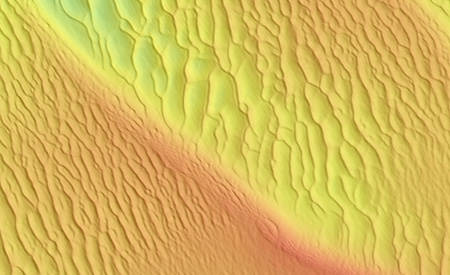
This GIS maps the crest lines of marine dunes located on the French continental shelf from the Iroise Sea to the Belgian border.