 Metadata catalogue
Europe
Type of resources
Available actions
Topics
INSPIRE themes
Keywords
Contact for the resource
Provided by
Years
Formats
Representation types
Update frequencies
status
Service types
Scale
Resolution
-
(i) Context:The ICP Forests database is probably the most comprehensive forest ecosystem database in Europe and contains the accumulated results of several decades of harmonised monitoring all over Europe. (ii) Aims: Goal of this paper is to open the soil information of the ICP Forests Level II plots for broader use among forest scientists. (iii) Methods: The soil data were gathered according to the ICP Forests manual, purified, validated, and aggregated to meaningful variables and summarizing soil properties. (iv) Main features and potential use of database: The aggregated Level II forest soil database provides the occasion for the combined evaluation of up to 130 unique soil variables per plot with dynamic data on tree growth, ground vegetation, foliage chemistry, crown condition, tree phenology, leaf area index, ground vegetation, ozone injury, litterfall, soil solution, deposition, ambient air quality, and meteorological data assessed on the same plots. (v) Conclusions:The database covers nearly all member states of the European Union, but it is not representative for this area in terms of tree species and soil types due to the original selection criteria for the plots.
-
Emodnet Human Activities - Major ports This facility provides free access to GIS data on European ports, with statistics on total shipped goods (TOnx1000; 2016) and passegers (exluded cruises; 2015/2016) Full information and statistics here http://www.emodnet-humanactivities.eu/search-results.php?dataname=Main+Ports Abstract The geodatabase on maritime transport in EU main ports includes goods, passengers and vessels traffic in the EU and was created in 2014 by Eurofish and Cogea for the European Marine Observation and Data Network (EMODnet). It is the result of the aggregation and harmonization of datasets provided to EUROSTAT by ports in EU Member States and Norway. EUROSTAT data have been related to GISCO's georeferenced ports. These datasets are updated on an annual basis where the most recent update includes annual data from 2014, 2015 and 2016 (where available). Goods and Passengers data are available from 2001 while vessel is maintained from 2006 onwards. Goods traffic data are reported in thousand tonnes by type of cargo and direction. Passengers traffic data are reported in thousand passengers (excluding cruise passengers) by direction and traffic type. Vessels traffic data are reported in unit and gross tonnage (thousand) of vessels by vessel size class and vessel type. Original data is reported quarterly by EUROSTAT, but has been aggregated on an annual basis to produce this dataset. Publication date 2017-05-03 Revision date 2017-03-17 Creation date 2014-05-01
-
United Kingdom Maritime boundaries comprise: - Territorial Sea - Exclusive Economic Zone - Continental Shelf - Adjacent Waters
-

This dataset was created within the framework of the S3-EUROHAB project. It contains the vulnerability index of scallop fishing vessels exposed to the risk of harvest closures due to HABs toxins and the potential contamination in scallops, as well as the sensitivity, exposure and adaptive capacity indicators used to calculate the vulnerability composite index. These data cover the French coasts of the eastern English Channel and the period of the scallop fishing season between 2012-2013 and 2018-2019. The indicators are calculated per fishing fleet category which corresponds to a segmentation based on the intersection between vessel lenghth and fishing technique. The identification of indicators describing the vulnerability components (exposure, sensitivity and adaptive capacity) is based on characteristics of the (1) French scallop fishery in the eastern English Channel and (2) the HABs impacts in this area. The exposure indicator is represented by the ratio of the closure duration compared to the total authorised fishing duration for each season. The sensitivity of fishermen is characterised by the dependency of fishing vessels on scallop production and on fishing areas likely to be closed during scallop toxicity periods. Adaptive capacity is defined as the strategies of fishermen to avoid the impacts of closures. It is composed of two indicators: the capacity to change fishing areas and the capacity to change target species (scallops). All the variables in this dataset are described in the dictionary of the attribute table associated to this metadata descrition.
-

La nouvelle Région dispose de partenariats forts avec un grand nombre de régions en Europe. On retrouve d’une part des liens forts avec les régions frontalières (Belgique, Angleterre) et d’autre part des régions qui partagent des problématiques communes liées à la reconversion de leur économie comme des régions polonaises ou allemandes. Outre ces coopérations européennes et bilatérales, les deux Régions ont également établi des liens forts avec des Régions de pays en voie de développement dans le cadre de la coopération décentralisée, en Afrique et au Brésil.
-
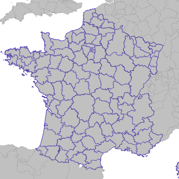
Cette donnée représente le découpage de l'Europe en NUTS (Nomenclature des Unités Territoriales Statistiques) qui sont un découpage territorial destiné à faciliter les comparaisons entre pays, ou entre régions, d'un même ensemble. Un découpage en NUTS 3 représente le découpage au niveau des régions françaises, approximativement. En ce qui concerne l'Islande, la Bosnie-Herzégovine, le Kosovo, l'Albanie, la Macédoine, la Serbie et le Monténégro, un tel découpage n'est pas disponible. Ils sont donc représentés à l'échelon du pays.
-

The map sheet: 1. Carte des familles de sols. Scale of 1:100 000. Date of publication: 1967.
-

The map sheet: 1. Carte géologique du Pinde septentrional. Scale of 1:50 000. Date of publication: 1970.
-

The map sheet: 1. Carte des séries de sols. Scale of 1:50 000. Date of publication: 1967.
-
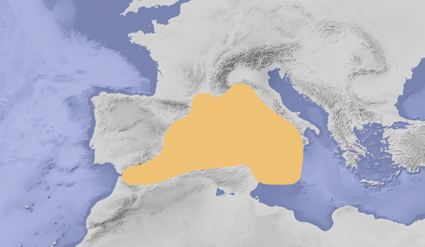
Study area of SIMWESTMED Project composed by FAO sub-area 37 including Malta waters