 Metadata catalogue
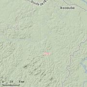
Counami
Type of resources
Available actions
Topics
Keywords
Contact for the resource
Provided by
Years
Formats
Representation types
Update frequencies
status
Scale
Resolution
-

The aerial laser scanning (ALS) dataset, acquired in 2004, covers three plots of Counami site in French Guiana. The laser recorded last reflected pulse. Ground points data where not delivered by ALTOA.
-

The image covers the experimental sites Counami, Paracou, Piste Saint Elii, Crique Passoura, Crique Plomb and Montagne Plomb in French Guiana.
-
Guyadiv is a network of permanent forest plots installed in French Guiana. The site of Guyadiv in Counami is composed of 19 1200sq.m-plots. A complete inventory has been made on these plots, during 3 inventory sessions in 2000, 2001 and 2002. 1743 trees have been inventoried, with 92,2% to 100% of trees identified to species level. We only have the point coordinates and not the precise demarcation of the sample plots. In order to calculate the bounding box for these plots, we have expanded the point location 500 meters in each direction.