 Metadata catalogue
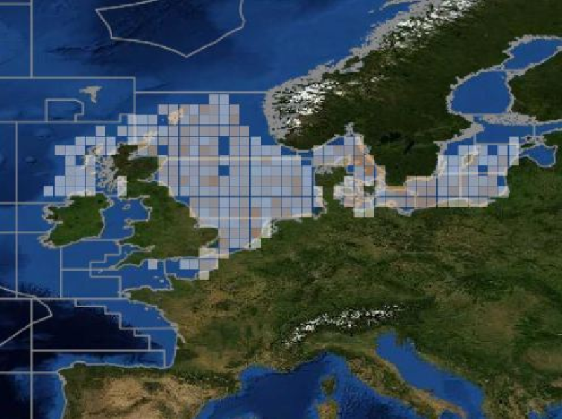
Channel-North Sea
Type of resources
Available actions
Topics
INSPIRE themes
Keywords
Contact for the resource
Provided by
Years
Formats
Representation types
Update frequencies
status
Resolution
-
ICES database of trawl surveys
-
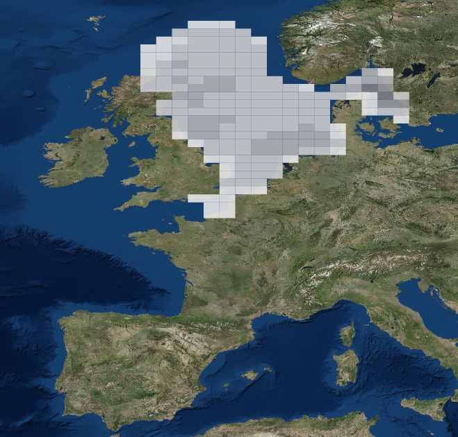
DATRAS North Sea Bottom Trawl Survey
-
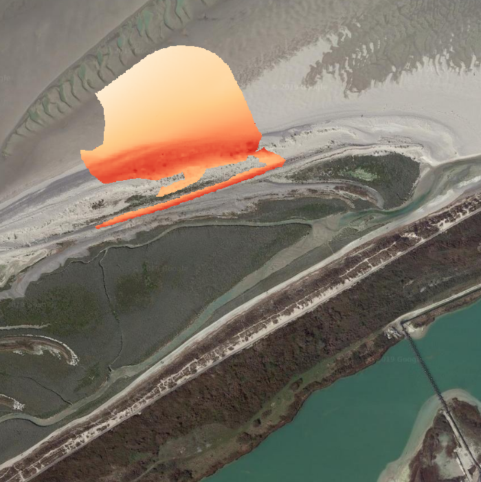
DATA : Topographic DEMs obtained from a LIDAR system or a terrestrial laser scanner (TLS). (1) LIDAR data : Topographic DEM with a 1-m resolution and accuracy below 10 cm RMS in altimetry acquired by an airborne scanner (Leica ALS60). (2) TLS data : Topographic DEMs with a 10-cm resolution and an accuracy comprised between the mm and some cm (depending on the survey conditions). The DEM is derived from a point cloud obtained with a terrestrial laser scanner (Leica ScanStation C10). AREA : Portion of the littoral pebble spit of the Baie de Somme, in the sector of La Mollière (Cayeux-sur-Mer), including the upper part of the sandy intertidal zone and the active barrier spit, over 200 m in the cross-shore direction and 1200 m in the longshore direction.
-
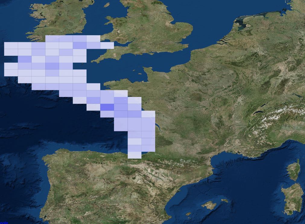
The dataset includes age- and length-based catch per unit effort data for commercial fish species collected by the French trawl survey EVHOE.