 Metadata catalogue
1991
Type of resources
Available actions
Topics
INSPIRE themes
Keywords
Contact for the resource
Provided by
Years
Formats
Representation types
Update frequencies
Service types
Scale
-
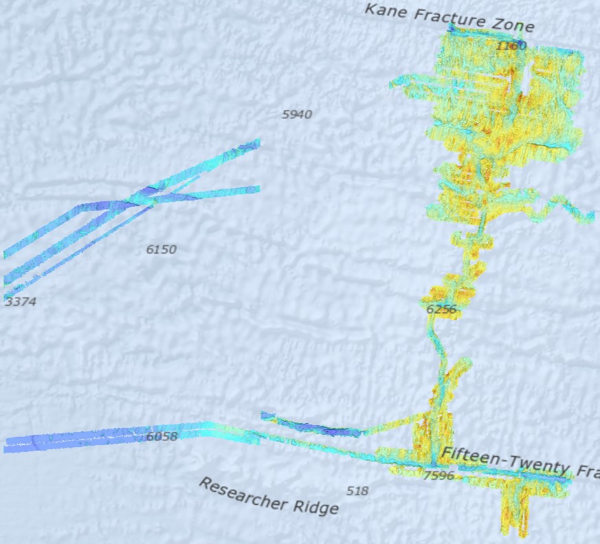
Bathymetry - Mid-Atlantic Ridge from N 13°30 to N 24° (synthesis, 2021). Compilation of Ifremer multibeam data along the Mid-Atlantic Ridge. Grid resolution 1/16 arc minute. Bibliography: Viellefon Priscille (2020). Cartographie – Compilation et analyses numériques de données bathymétriques sur la dorsale Atlantique Nord centrale. Rapport de stage technique. https://archimer.ifremer.fr/doc/00679/79153/ Ifremer multibeam database : cruises from 1991 to 2018. Data sets acquired onboard Ifremer research vessels are processed according to a common flow : - Time and acquisition lines selection - Removing outliers by automatic filtering - Manual cleaning and residual artefact removing - Producing a digital terrain model (DTM). Depth layer is calculated as the average of soundings in each pixel. The grid resolution is 1/16 of arcminute. All DTMs are merged into a unique file. Cruise list : Fara-Seadma1, 1991, RV L’Atalante, https://doi.org/10.17600/91004411 Fara Sigma, 1991, RV L’Atalante, https://doi.org/10.17600/91004311 Faranaut/15N, 1992, RV L’Atalante, https://doi.org/10.17600/92000311 Dormasis, 1992, RV L’Atalante, https://doi.org/10.17600/92000411 Sudacores, 1998, RV L’Atalante, https://doi.org/10.17600/98010080 Bicose, 2014, RV Pourquoi Pas ?, https://doi.org/10.17600/14000100 Leve-SMF, 2016, RV Pourquoi Pas ?, https://doi.org/10.17600/16010800 Hermine, 2017, RV Pourquoi Pas ?, https://doi.org/10.17600/17000200 Transect, 2018, RV L’Atalante, https://doi.org/10.17600/18000513
-

Bathymetry - Mid-Atlantic Ridge from N 24°to N 36° (synthesis, 2021). Compilation of Ifremer multibeam data along the Mid-Atlantic Ridge. Grid resolution 1/16 arc minute. Bibliography: Viellefon Priscille (2020). Cartographie – Compilation et analyses numériques de données bathymétriques sur la dorsale Atlantique Nord centrale. Rapport de stage technique. https://archimer.ifremer.fr/doc/00679/79153/ Ifremer multibeam database : cruises from 1991 to 2018 Data sets acquired onboard Ifremer research vessels are processed according to a common flow : - Time and acquisition lines selection - Removing outliers by automatic filtering - Manual cleaning and residual artefact removing - Producing a digital terrain model (DTM). Depth layer is calculated as the average of soundings in each pixel. The grid resolution is 1/16 of arcminute. All DTMs are merged into a unique file. Cruise list : Sara, 1990, RV Jean Charcot, https://doi.org/10.17600/90000411 Fara-Seadma1, 1991, RV L’Atalante, https://doi.org/10.17600/91004411 Fara Sigma, 1991, RV L’Atalante, https://doi.org/10.17600/91004311 Faranaut/15N, 1992, RV L’Atalante, https://doi.org/10.17600/92000311 Dormasis, 1992, RV L’Atalante, https://doi.org/10.17600/92000411 Sudacores, 1998, RV L’Atalante, https://doi.org/10.17600/98010080 Bicose, 2014, RV Pourquoi Pas ?, https://doi.org/10.17600/14000100 Leve-SMF, 2016, RV Pourquoi Pas ?, https://doi.org/10.17600/16010800 Hermine, 2017, RV Pourquoi Pas ?, https://doi.org/10.17600/17000200 Transect, 2018, RV L’Atalante, https://doi.org/10.17600/18000513
-

DTM of the German Bight (yearly, 1982 - 2012). Classified isosurfaces of spatiotemporally interpolated bathymetries from the years 1982 to 2012, with two parameters for the purposes of reliability: Confidence and Minimum dt. The parameter Confidence [m] indicates the reliability of the modelled bathymetry. Data were generated within the framework of the German Coastal Engineering Research Council project AufMod (¿Aufbau integrierter Modellsysteme zur Analyse der langfristigen Morphodynamik in der Deutschen Bucht¿ [¿Development of integrated model systems for the analysis of long-term morphodynamics in the German Bight¿], 01.11.2009-31.12.2012).
-
Jaehrlicher Tiefen ueber den Zeitraum 1982-2012. Klassifizierte Polygone auf Grundlage von raumzeitlichen Interpolationen auf einem Gitter mit einer raeumlichen Aufloesung von 50m. Fuer jeden Jahres-Tiefendatensatz sind 2 Parameter zur Vertrauenswuerdigkeit des interpolierten Tiefenwertes angegeben: Confidence und zeitlicher Abstand zur naechst gelegenen Messkampagne. Die Daten wurden im Rahmen des KFKI-Projekts "Aufbau von integrierten Modellsystemen zur Analyse der langfristigen Morphodynamik in der Deutschen Bucht (AufMod, Laufzeit 2009-2012)" generiert. Raeumliche Ausdehnung: Kuestenlinie bis 20m Tiefenlinie.