XYZ ASCII
Type of resources
Available actions
Topics
INSPIRE themes
Provided by
Years
Formats
Representation types
Update frequencies
status
Resolution
-

Bathymetric datasets are an extraction of surveys belonging to the Shom public database. For depth up to 50m, the vertical precision of soundings varies from 30cm to 1m and the horizontal precision varies from 1 to 20m. In deep ocean, the vertical precision is mainly around 1 or 2% of the bottom depth. It is sometimes more, it depends on the technology used. The data are referenced to ZH which is assimilated to LAT. Data are corrected for sound velocity variations.
-
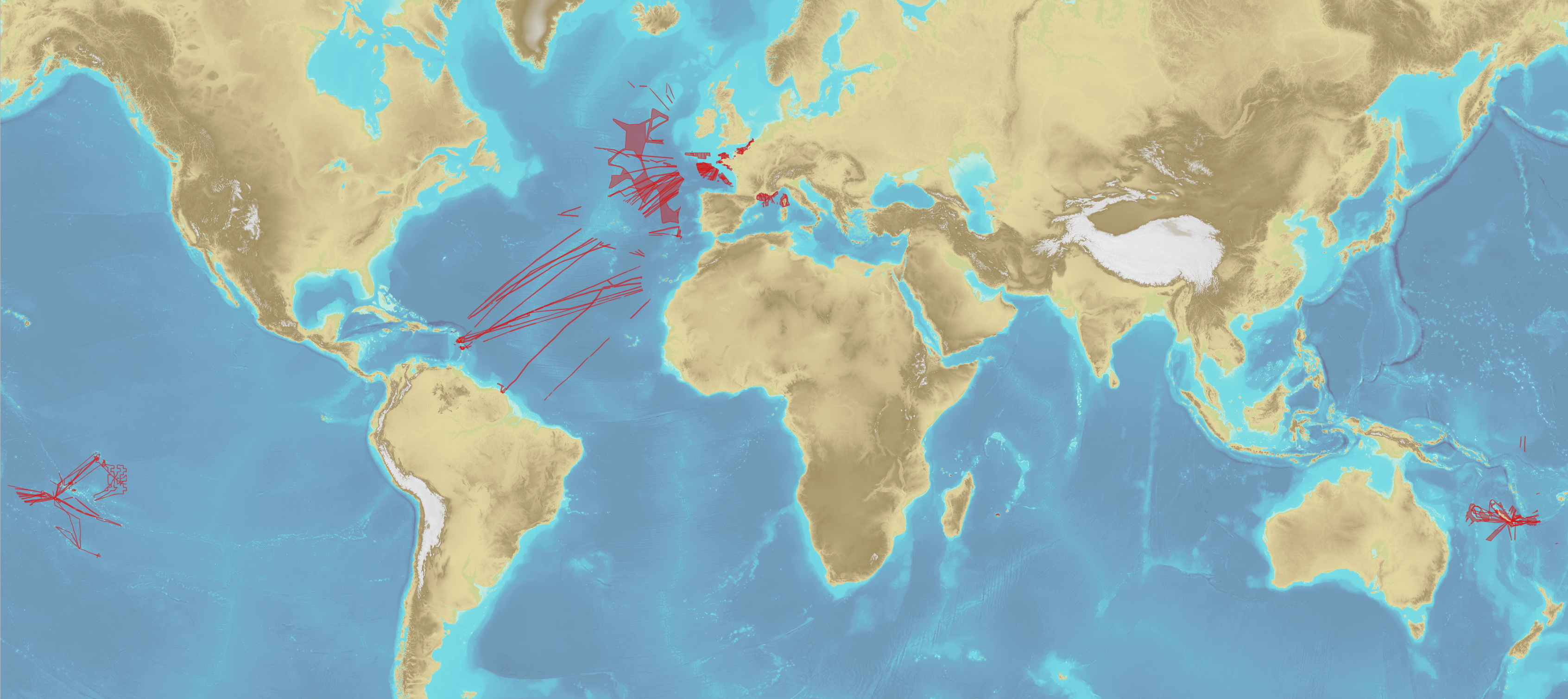
Lots bathymétriques collectés avant 1970, données historiques principalement acquises au plomb de sondes (et au sondeur monofaisceau après 1930-1940). Le contrôle et la qualification conduits par le Shom sur ces données ne sont pas exhaustifs. Les données peuvent présenter des incertitudes importantes et des erreurs peuvent subsister. // Bathymetric datasets, collected before 1970, are historical surveys acquired with leadlines (and single-beam echosounders after 1930-1940). Quality controls and qualification, conducted by the Shom, on these datasets are not exhaustive. Datasets may present significant uncertainties and errors may remain.
-

Bathymetric datasets are an extraction of surveys belonging to the Shom public database. For depth up to 50m, the vertical precision of soundings varies from 30cm to 1m and the horizontal precision varies from 1 to 20m. In deep ocean, the vertical precision is mainly around 1 or 2% of the bottom depth. It is sometimes more, it depends on the technology used. The data are referenced to ZH which is assimilated to LAT. Data are corrected for sound velocity variations.
-
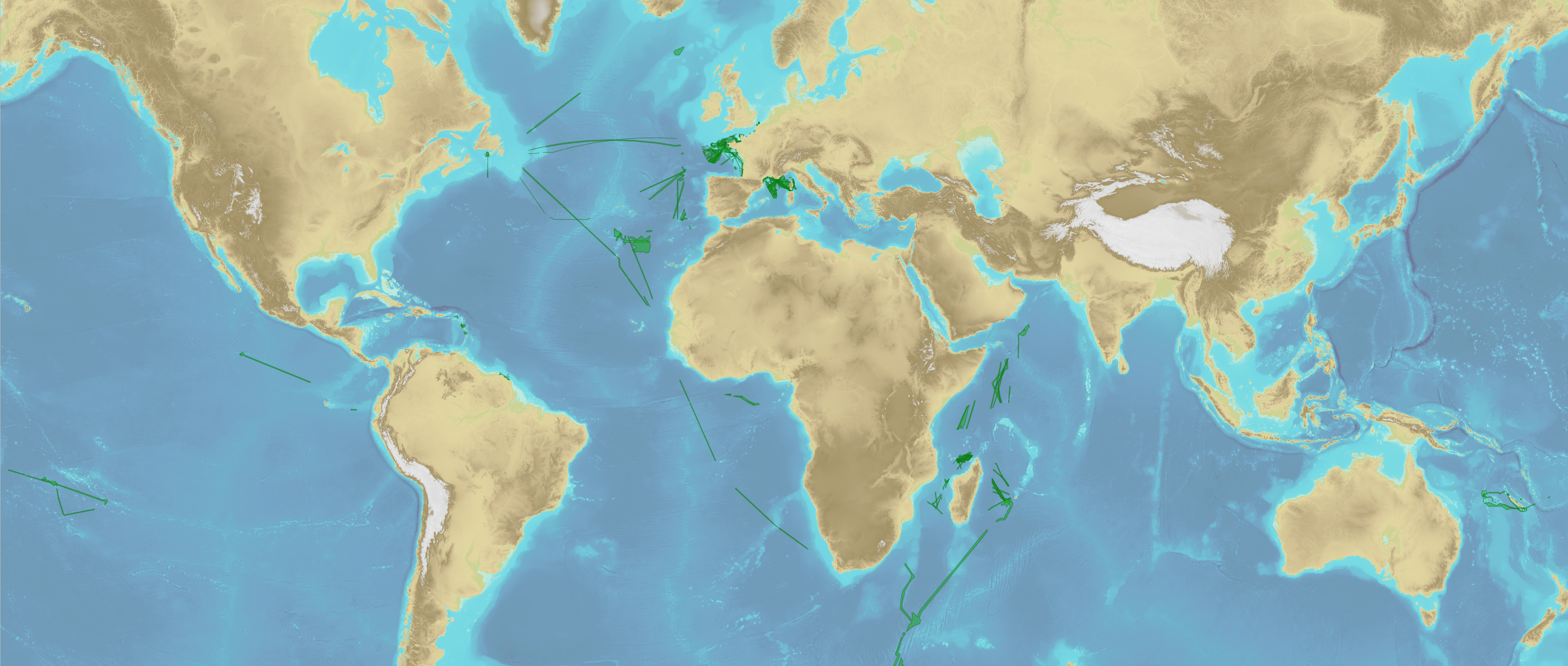
Lots bathymétriques collectés entre 1990 et 2005, données numériques contrôlées et qualifiées principalement acquises au sondeur monofaisceau et au moyen des premières générations de sondeurs multifaisceaux. // Bathymetric datasets, collected between 1990 and 2005, are digital data controlled and qualified. They are acquired with single-beam echosounders and the first generations of multi-beam echosounders.
-
Lots bathymétriques collectés après 2005, données contrôlées et qualifiées, principalement acquises au moyen de sondeurs multifaisceaux. // Bathymetric datasets, collected after 2005, are controlled and qualified. They are mainly acquired with multi-beam echosounders.
-
Lots bathymétriques collectés entre 1970 et 1990, données principalement acquises au sondeur monofaisceau. Le contrôle et la qualification conduits par le Shom sur ces données ne sont pas exhaustifs. Les données peuvent présenter des incertitudes importantes et des erreurs peuvent subsister. // Bathymetric datasets, collected between 1970 and 1990, are mainly acquired with single-beam echosounders. Quality controls and qualification, conducted by the Shom, on these datasets are not exhaustive. Datasets may present significant uncertainties and errors may remain.
-
Le produit BD ALTI® est le référentiel du relief sur la France. De la BD ALTI® est dérivée une gamme complète de MNT (Modèles Numériques de Terrain) et isohypses qui décrivent la forme du terrain à différentes échelles (du 1 : 25 000 au 1 : 1 000 000).
-
Le produit Litto3D est une base de données altimétrique unique et continue terre-mer donnant une représentation tridimensionnelle de la forme et de la position du sol sur la frange littorale du territoire français. Une ligne de partage des zones d'acquisition entre terre et mer, sépare les levés réalisés par les technologies lidar bathymétriques ou sondeur multifaisceau côté mer et lidar topographiques aéroportés côté terre, un recouvrement de 300m étant prévu. Litto3D est disponible sous deux formes : un semis de points tridimensionnels et un modèle numérique de terrain maillé et qualifié.
 Metadata catalogue