 Metadata catalogue
ASCII
Type of resources
Available actions
Topics
INSPIRE themes
Keywords
Contact for the resource
Provided by
Years
Formats
Representation types
Update frequencies
status
Scale
Resolution
-
-

The Data of the Environmental Network contains water temperature, salinity, water depth and current at different depth levels, air temperature, wind speed and direction, air pressure, humidity at North and Baltic Sea. Darßer Schwelle, Ems, Fehmarn Belt, Nordseeboje lll, Nordseeboje ll, Arkona Becken, Deutsche Bucht, Fino 1, Kiel, Oder Bank
-

Data contents consist of information about wrecks and obstructions. The data originate from investigations of BSH.
-

The data cover 12 to 36 hours predictions as result of the BSH circulation model. resolution about 1 nautical mile (E-W 100'', N-S 60'') on a spharical grid. 3D-parameters (except wind, waterlevel and ice) have been computed for vertical levels with lower limits (meter) of 8, 16, 24, 50, 100, 150, 200, 250, 1000.
-

Data contents consist of information about wrecks and obstructions. The data originate from investigations of BSH.
-
Data contents consist of information about wrecks an obstructions. The data originate from investigations of BSH.
-

The dataset (TRMM 3B43) comprises monthly rainfall datas (mm/hr) acquired during the Tropical Rainfall Measuring Mission (TRMM) since 1998. The TRMM algorithm 3B42 provides adjusted 3-hour cumulative estimates of rain using merged microwave and infrared (IR) precipitation information.
-
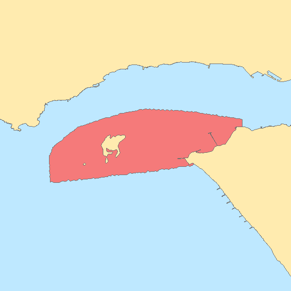
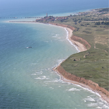
Hydrographic survey performed by the Portuguese Hydrographic Institute (IHPT) using echosounders. The depth values are referred to the Portuguese Chart Datum.
-
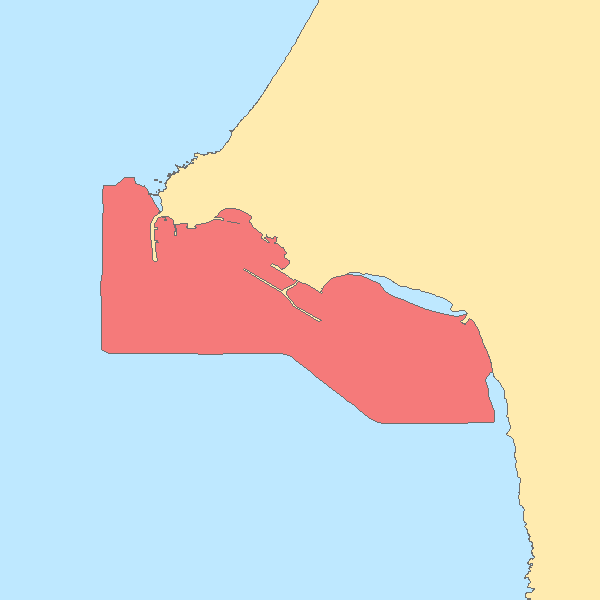
Hydrographic survey performed by the Portuguese Hydrographic Institute (IHPT) using echosounders. The depth values are referred to the Portuguese Chart Datum.
-
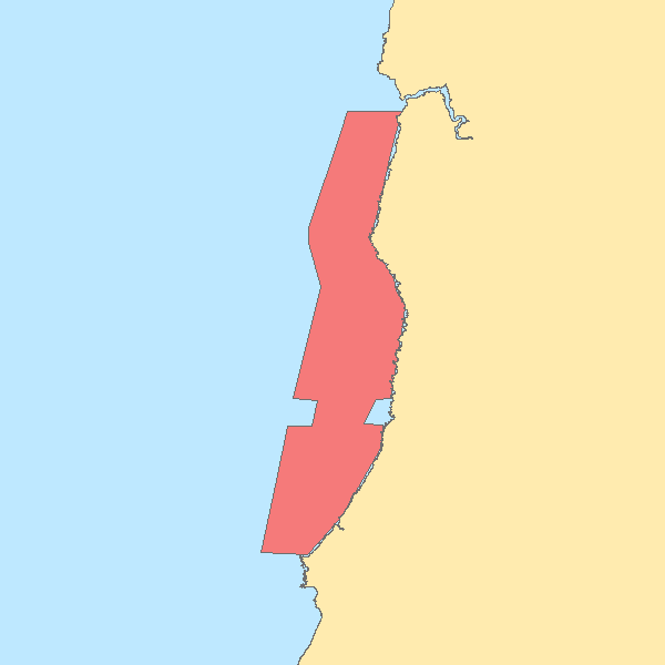
Hydrographic survey performed by the Portuguese Hydrographic Institute (IHPT) using echosounders. The depth values are referred to the Portuguese Chart Datum.