 Metadata catalogue
-1
Type of resources
Available actions
Topics
INSPIRE themes
Keywords
Contact for the resource
Provided by
Years
Formats
Representation types
Update frequencies
status
Scale
-

The information gathered with the location of the best spots for the practice of nautical sports within the National Protected Areas Network. The sports considered in this dataset are the dive, surf, wind surf and kite surf.
-
Within Portugal's National Biological Sampling Project (PNAB) a set of activities are conducted in the collection, management and use of biological data, collected from the registered commercial fleet in mainland Portugal (fisheries-dependent data) and several research surveys (independent fisheries data). These activities allow the assessment of the state of fishery resources, population structure, distribution and abundance of resources, diversity and dynamics of biological communities associated with the fishery resources and biological studies (growth, reproduction).This resource shows the geographic distribution of deep-water rose shrimp abundancy index (nr. individuals/hour) registered during the DEMERSAL2008 campaign in September 2008.
-

The TOPOMED-FREEZE campaign was organized as a joint campaign of the TOPOMED and FREEZE projects sponsored by the Fundação para a Ciência e a Tecnologia (FCT) (Plate reorganization in the western Mediterranean: lithospheric causes and topographic consequences, TOPOEUROPE/0001/2007; Submarine FREshwater dischargEs: characteriZation and Evaluation study on their impact on the Algarve coastal ecosystems, PTDC/MAR/102030/2008). These two projects share complementary study areas and objectives. The first concentrates on the effects of neotectonics on the evolution of landscape and environments and the second on the investigation of Submarine Fresh-Water Discharges.
-

This Geographic DataSet represents the location where the water samples are collected for monitoring the Bathing Waters Identified in the Autonomous Region of Madeira.Bathing waters are identified annually by DROTA - Direcção Regional do Ordenamento do Território e Ambiente, in accordance with Decree-Law No. 135/2009, of June 3, amended and republished by Decree-Law 113/2012 of 23 May, which establishes the legal system for the identification, management, monitoring and classification of bathing water quality and provision of information to the public about them (Directive 2006/7 / EC of the European Parliament and of the Council of 15 February )The annual procedure for the identification of bathing waters, begins with the preparation of a proposal to identify bathing waters, in cooperation with local authorities. The proposal is submitted to public consultation between January 2 and February 2. After this period identification is approved by ordinance by Government member responsible for the environment, until 1 March of each year..
-

Aerial photograph of Funchal (9917) found in the archives, however, the precise date could not be ascertained. It is thought that the production occurred in the first half of the 60s.
-
Hydrographic survey performed by the Portuguese Hydrographic Institute (IHPT) using echosounders. The depth values are referred to the Portuguese Chart Datum.
-
Hydrographic survey performed by the Portuguese Hydrographic Institute (IHPT) using echosounders. The depth values are referred to the Portuguese Chart Datum.
-
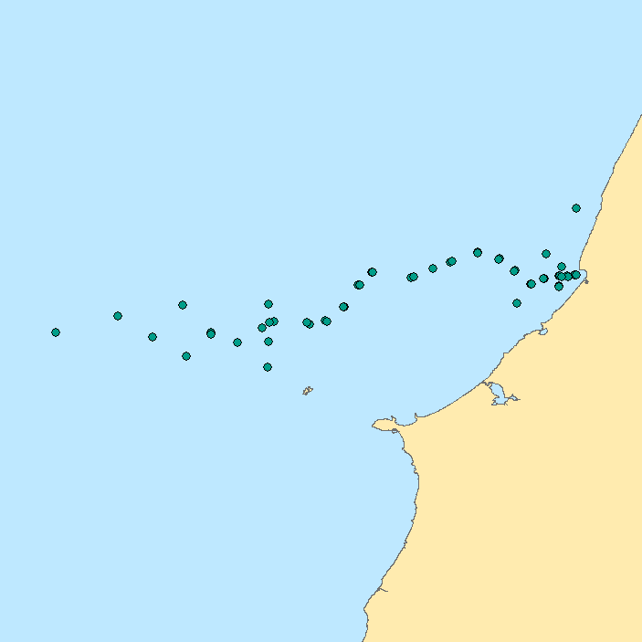
Data of contaminants in water (metals and nutrients) obtained during the cruise IHPT2008-HERMES01. Ship: N.R.P. D. CARLOS I. Studied Area: Nazaré Canyon and adjacent area. Equipment: water bottles. The measured chemical parameters: NOx, NO2, NH3, PO4, Si, Cd, Cu, Fe, Hg, Ni, Pb, Zn.
-
_Nut-Wt_stations.png)
Data of contaminants (nutrients) in water obtained during the cruise 64PE252. Ship: R/V Pelagia. Studied Area: Nazaré Canyon and adjacent area. Equipment: water bottles. The measured chemical parameters: NOx, NO2, NH3, PO4, Si.
-
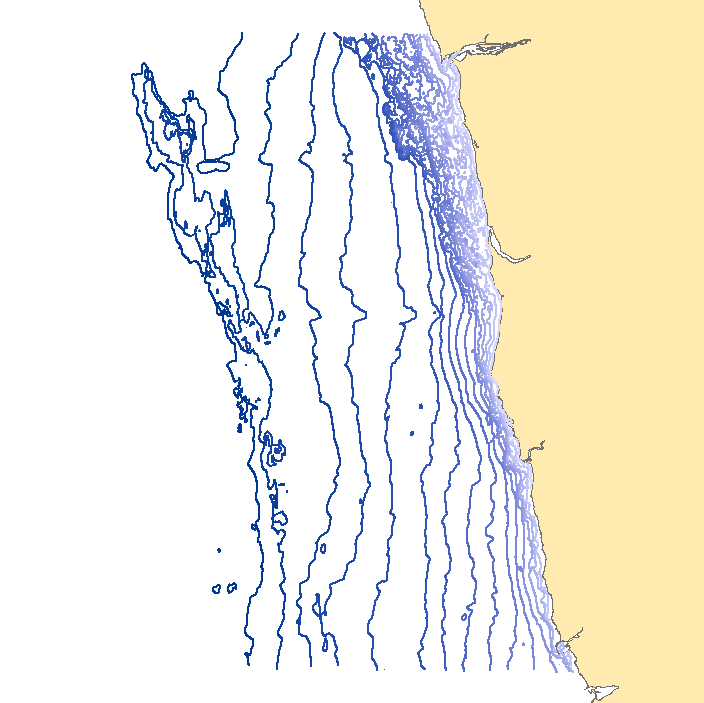
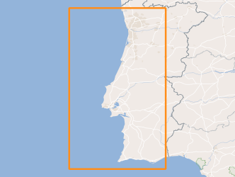
This dataset contains contour lines with 5 and10 meters step, built on sounding information from the hydrographic surveys conducted in the area from Viana do Castelo to Leixões.