 Metadata catalogue
continual
Type of resources
Available actions
Topics
INSPIRE themes
Keywords
Contact for the resource
Provided by
Years
Formats
Representation types
Update frequencies
status
Service types
Scale
Resolution
-
Growing demand for materials suitable for decorative and building purposes has contributed significantly to the development of the mining and stone-processing industry. This database contains basic types of rocks that have been quarried for these purposes in the Czech Republic in past and presence.
-
Dataset contains hydrogeological zones with attached basic informations to the extent given to edict of Ministry of Agriculture Decree no.391/2004 Coll., i.e. information about zone name, numerical identifier, river basin managers and territorial identification, additional data on natural characteristics. The basic natural characteristics of zone include geological unit, group of zones, lithology, stratigraphy of Cretaceous group of zones, type of Quarternary sediment in laden layer of zones, type of aquifer-saturation, the character of the collector, the average power of the collector, the character of the groundwater level, the type of permeability, the predominant mineralization of groundwater and predominant chemical type of groundwater.
-
Database contains data from gamma-spectrometry survey. Gamma-ray spectrometry survey means measurement of natural radioactive isotopes concentration i.e. potassium 40K [%], uranium 328U and 235U [ppm], thorium 232Th [ppm]; simultaneously, total gamma-ray activity was registered. This survey started in 1976 and covered about 60 % of the territory.
-
The database contains selected mining engineering and operational data from the annual state statistical report Hor(MPO)1-01. Areas affected by mining, mining technically locked area, areas of remediation and reclamation where reclamation has been completed. Furthermore, the financial reserves for remediation, reclamation and mining damages. Hor(MPO)1-01 belongs to Individual data, it is possible to obtain data only in the summaries.
-
This database contains key information on areas where underground mining or mineral exploration was undertaken in the past. It provides warnings about areas where subsidence or other hazards may occur due to the presence of underground spaces.
-

Management plan of the Tejo Estuary Natural Reserve published by the RCM nº177/2008 of 24 November. Represents one of the map produced in the space planning third phase of the Plan, published at 1:25000 scale. Delimits space classes, depending on the dominant use and establishing operative units of planning and management. The use of this resource does not exempt the consultation of the official documents.
-
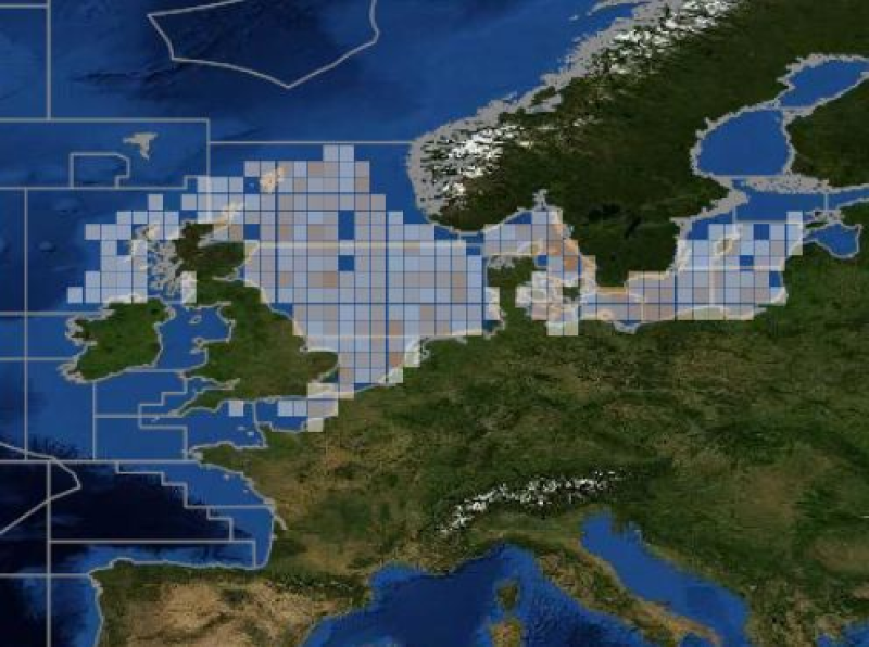
ICES database of trawl surveys
-
The Spatial Hub is a resource which provides a single point of access to quality assured Scottish local authority data in a consistent format. It is developed, operated and managed by the Spatial Information Service within the Improvement Service.
-
SPAs in Scotland are classified by Scottish Ministers . These are areas of the most important habitat for rare (listed on Annex I to the Directive) and regularly occurring migratory birds within the European Union. SPAs are classified under the EC Birds Directive and together with SACs, form the Natura 2000 network. Proposed Special Protection Areas (pSPA) may be subject to change prior to classification. Note: Orkney Inshore Waters is at draft SPA status and is not afforded policy protection. Please contact SNH for further information
-
SACs in Scotland are designated by Scottish Ministers under the EC Habitats Directive. They are areas which have been identified as best representing the range and variety within the European Union of habitats and (non-bird) species listed on Annexes I and II to the Directive. SACs in terrestrial areas and marine areas out to 12 nautical miles are afforded protection through the Conservation (Natural Habitats, &c.) Regulations 1994 (as amended). Possible Special Areas of Conservation (pSAC) may be subject to change prior to submission.