 Metadata catalogue
Multi-site high resolution seabed topographical surveys (Maupiti Hoe, Niau, Socoa, Ars-en-Ré, Parlementia, Banneg)
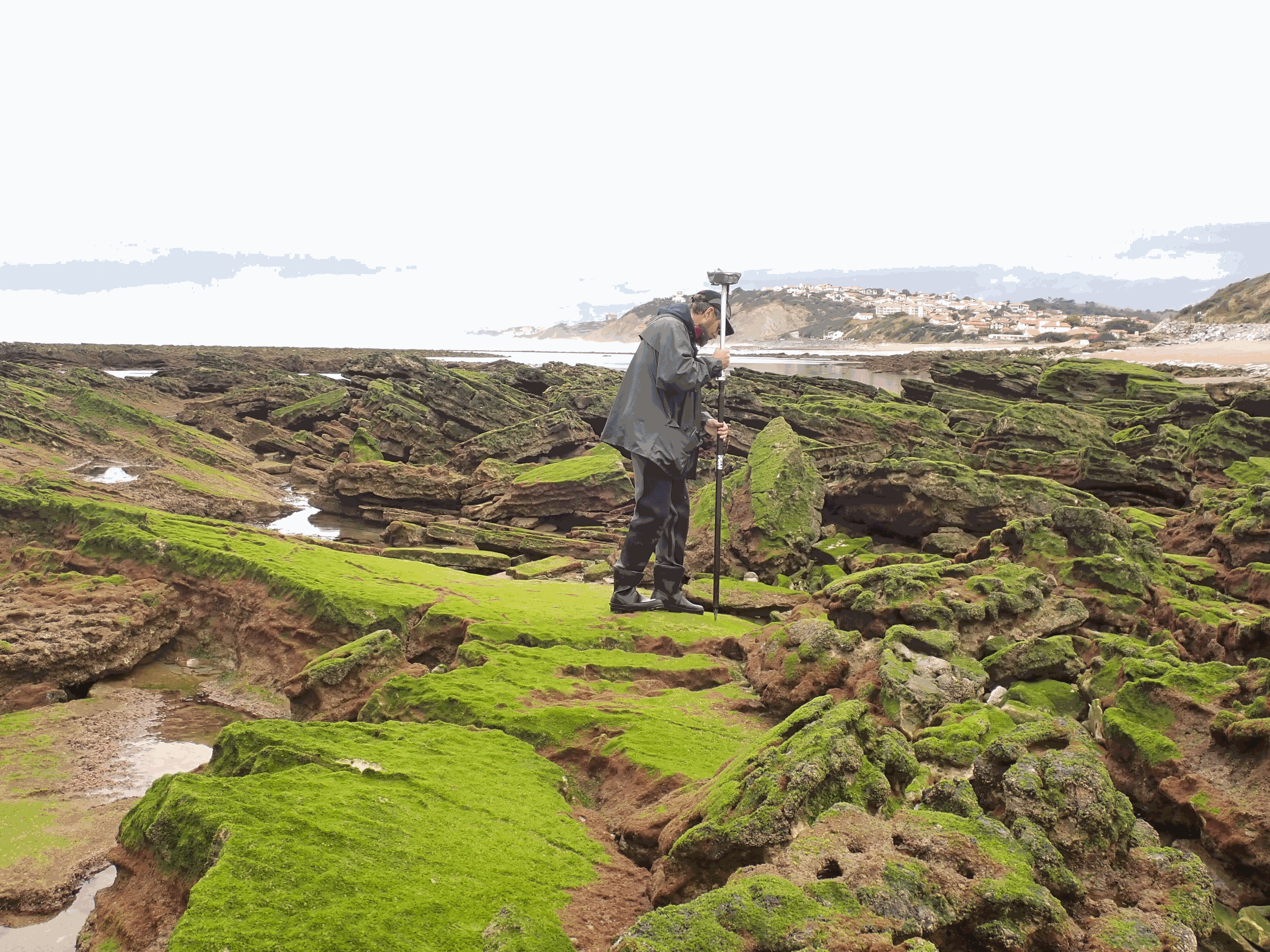
The present dataset is based on a nine site study of fine seabed topography in intertidal zones. Four coral sites (Maupiti A, B and C and Niau islands) and five rocky sites (Ars en Ré, Socoa, Parlementia A and B and Banneg island) have been explored. The data has been gathered using on-foot GNSS RTK for all sites (Trimble R8/R8S and Leica sytems) except Banneg island, where aerial Lidar data from Litto3D program has been used. The horizontal resolution varies between 3.8 and 12cm allowing to describe a wide range of spatial scales (generally over 3 spectral decades). The data has been processed to explore the statistical and spectral metrics which can be used to characterize the architectural complexity of seabeds.
|
|
Citation proposal
Quentin Céline () - SOUS Damien (Université de Toulon, Aix Marseille Univ, CNRS, IRD, MIO, Toulon, France Université de Pau et des Pays d'Adour, SIAME, Pau, France) - MEULE Samuel (Aix-Marseille Université, CNRS, IRD, INRAE, CEREGE, Aix-en-Provence, France Geosciences-M/GLADYS, Université de Montpellier, CNRS, Montpellier, France) - MICHAUD Heloise (Shom, Brest, France) - GLADYS group (Université de Toulon, Aix Marseille Univ, CNRS, IRD, MIO, Toulon, France Université de Pau et des Pays d'Adour, SIAME, Pau, France Aix-Marseille Université, CNRS, IRD, INRAE, CEREGE, Aix-en-Provence, France Geosciences-M/GLADYS, Université de Montpellier, CNRS, Montpellier, France Shom, Brest, France IGN, Saint-Mandé, France) (2024) . Multi-site high resolution seabed topographical surveys (Maupiti Hoe, Niau, Socoa, Ars-en-Ré, Parlementia, Banneg). https://services.mspdata.eu:/geonetwork/srv/api/records/seanoe:98753 |
Simple
- Date ( Publication )
- 2024
- Date ( Revision )
- 2024-07-03
- Other citation details
-
Sous Damien, Meule Samuel, Michaud Heloise, Gladys Group (2024). Multi-site high resolution seabed topographical surveys (Maupiti Hoe, Niau, Socoa, Ars-en-Ré, Parlementia, Banneg). SEANOE. https://doi.org/10.17882/987 53
In addition to properly cite this dataset, it would be appreciated that the following work(s) be cited too, when using this dataset in a publication :
Sous Damien, Meulé Samuel, Dealbera Solène, Michaud Héloïse, Gassier Ghislain, Pezerat Marc, Bouchette Frédéric (2024). Quantifying the topographical structure of rocky and coral seabeds. PLOS ONE, 19(6). https://doi.org/10.1371/journal.pone.03034 22
- Credit
-
The Banneg data has been extracted from the Litto3D database, supported by an IGN/SHOM partnership. The Maupiti data has been provided by the MAUPITI HOE 2018 experiments, fully funded by the GLADYS group. The Niau data has been retrieved with the joint support of the GLADYS group and the Direction de l'Equipement de Polynésie Française. The Ars en Ré data has been retrieved during the RICORE 2020 experiments, supported by Shom (HOMONIM project and PEA PROTEVS) and the GLADYS group. The Parlementia data has been recovered by the joint efforts of SIAME laboratory and GLADYS group. The Socoa data has been recovered in the framework of the European FEDER FSE 2014-2020 Program funding under the research project EZPONDA with GLADYS group support for instruments and human resources.
Custodian
Publisher
- Keywords ( Theme )
-
-
seabed
,roughness
,topography
,metrics
,Physical oceanography
-
- ODATIS aggregation parameters and Essential Variable names ( Theme )
-
- Bathymetry
- SeaDataNet Parameter Disciplines ( parameter )
-
- Physical oceanography
- Type de jeux de donnée ODATIS ( Theme )
-
- /Observational data/in-situ
- Use constraints
- Other restrictions
- Other constraints
-
The data may be used and redistributed for free but is not intended for legal use, since it may contain inaccuracies. Neither the data contributors (MIO, CEREGE, OSU Pytheas, SIAME, Université de Toulon, Aix-Marseille Université, Université de Montpellier, Université de Pau et des Pays d'Adour, Shom, IGN, CNRS), nor the French Government, nor any of their employees or contractors, makes any warranty, express or implied, including warranties of merchantability and fitness for a particular purpose, or assumes any legal liability for the accuracy, completeness, or usefulness, of this information.
- Date ( Publication )
- 2024
Publisher
Author
Author
Author
Author
Author
Author
Author
- Association Type
- Cross reference
- Initiative Type
- Study
- Metadata language
- English
- Topic category
-
- Oceans
))
- Distribution format
-
-
XLS, XLSX
() -
TEXTE
()
-
- OnLine resource
-
Quality controlled data
Metadata: documentation for each topographic survey with information on filename, type (transect), units, date, methods, owner, contact, scientific program, coordinate system, latitude/longitude - 27 KB
- OnLine resource
-
Quality controlled data
Ars-en-Re.zip - Topographic survey on Ars-en-Ré : profile X, Y in meter along a transec operated on 10-15 Jan 2021 with On-foot Trimble R8/R8S GNSS RTK - by Shom, Gladys and Univ. de Montpellier - 381 KB
- OnLine resource
-
Quality controlled data
Banneg.zip : matrix of x, y, and z coordinates for topographic survey in high resolution of Banneg island made by aerial lidar litto3D on spring 2012/2013 by Shom and IGN - 771 KB
- OnLine resource
-
Quality controlled data
MaupitiHoe.zip - Topographic survey On Maupiti Hoe: profile X, Y in meter along a transec operated on 5-10 July 2018 with on-foot Trimble R8/R8S GNSS RTK - by GLADYS and Université de Montpellier - 224 KB
- OnLine resource
-
Quality controlled data
Niau.zip - Topographic survey On Niau : profile X, Y in meter along a transec operated on 10 Nov. 2021 with On-foot Trimble R8/R8S GNSS RTK - by CEREGE and MIO (OSU Pytheas) - 41 KB
- OnLine resource
-
Quality controlled data
Parlementia.zip - Topographic survey on Parlementia A, and B : profile X, Y in meter along a transec operated on 22 Fev 2023 with on-foot Leica GNSS RTK - by SIAME, UPPA - 272 KB
- OnLine resource
-
Quality controlled data
Socoa.zip - Topographic survey on Socoa : profile X, Y in meter along a transec operated on 21 Fev 2023 with on-foot Leica GNSS RTK - by SIAME, UPPA and Shom - 177 KB
- OnLine resource
- DOI of the product
- OnLine resource
- Seanoe
- Hierarchy level
- Dataset
- Statement
-
Topographhic surveys are made with:
- On-foot Trimble R8/R8S GNSS RTK (Maupiti Hoe, Niau, Ars en Re)
- On-foot Trimble R8/R8S GNSS RTK (Parlementia, Socoa)
- Aerial LIDAR Litto3D (Banneg island)
Metadata
- File identifier
- seanoe:98753 XML
- Metadata language
- English
- Character set
- UTF8
- Hierarchy level
- Dataset
- Date stamp
- 2024-07-03
- Metadata standard name
-
ISO 19115:2003/19139
- Metadata standard version
-
1.0
Overviews
Provided by
