Metadata catalogue
German Borehole Locations (WMS)
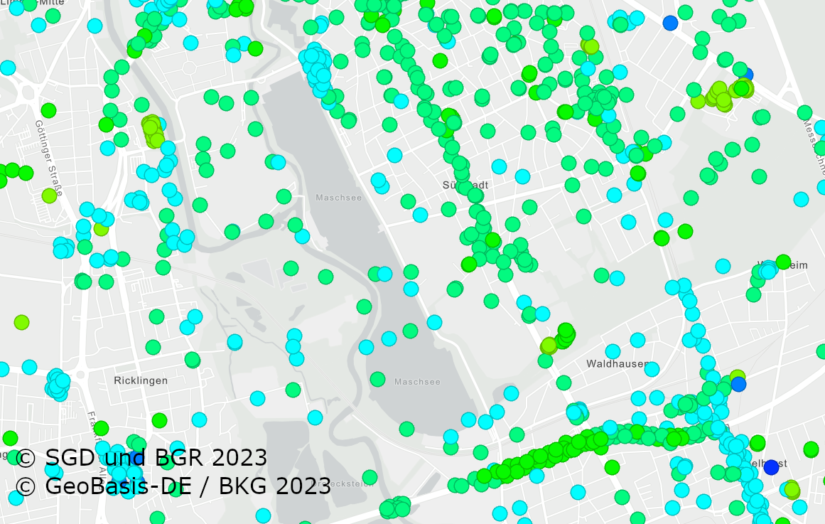
The German Borehole Locations (GBL) contains all disposable borehole data in the Federal Republic of Germany provided by the German Survey Organizations (GSO). The 16 GSO are responsible for data storage, processing and transmission of all borehole related data. In the context of a nationwide cooperation project the header information of borehole data is collected by the BGR via the exchange format BoreholeML to establish a centralized access point. This service permits an easy access to the accumulated borehole data from the participating federal states. The first two aggregated layer show the drilling density distribution in a defined raster, while the single locations only appear in greater scales. The header data is queriable from each location. The web application Borehole Map Germany makes use of this service as one major source
https://boreholemap.bgr.de/
|
|
Citation proposal
. German Borehole Locations (WMS). https://services.mspdata.eu:/geonetwork/srv/api/records/e255206f-49c2-46f8-9995-a023c5520bbb |
Simple
Identification info
- Alternate title
- GBL (WMS)
- Date ( Creation )
- 2016-10-01
- Identifier
- 391189fa-f506-4a08-a056-fbb6968649fb
- Status
- completed Completed
Point of contact
Bundesanstalt für Geowissenschaften und Rohstoffe (BGR)
-
Arns-Krogmann, Gerhard
Stilleweg 2
Hannover
DE-NI
30655
Deutschland
- GEMET - INSPIRE themes, version 1.0 ( Theme )
-
- Geologie , Geology
- GEMET - Concepts, version 2.4 ( Theme )
-
- Gestein , Gebirge , Bohrung
- Keywords ( Theme )
-
- rock , lithology , genesis , borehole , header data , starta data , layer , casing , groundwater , stratigraphy , BoreholeML , Schichtdaten , Ausbaudaten , Verrohrung , Grundwasserbeobachtung , logging , sampling , Lithologie , Petrographie , Genese , Stratigraphie , Gesteinsalter , age , Gesteinsart , Entstehung , infoMapAccessService , EGDI
- Keywords ( Place )
-
- Deutschland , Germany
- Classification
- Unclassified
- Use limitation
- Allgemeine Geschäftsbedingungen, siehe https://www.bgr.bund.de/AGB - General terms and conditions, see https://www.bgr.bund.de/AGB_en. Die bereitgestellten Informationen sind bei Weiterverwendung wie folgt zu zitieren: Datenquelle: GBL, (c) Staatliche Geologische Dienste, 2016
- Access constraints
- copyright Copyright
- Service Type
- view
- Service Version
- OGC:WMS 1.3.0
N
S
E
W
))
Coupled Resource
- Operation Name
- GetMap
- Identifier
- e56c0bdd-05c6-4eb3-8b65-41f8bb42eb16
- Coupling Type
- Tight
Contains Operations
No information provided.
- Operates On
- Reference system identifier
- EPSG:3857
- Distribution format
-
- png (n/a )
- jpeg (n/a )
- gif (n/a )
- OnLine resource
- https://services.bgr.de/wms/geologie/gbl/?
- Hierarchy level
- Service
Conformance result
- Date ( Publication )
- 2010-12-08
- Explanation
- siehe dazu die angegebene Durchführungsbestimmung
- Statement
- Alle Bohrdaten werden von den jeweiligen SGD der Bundesländer an die BGR übermittelt. Gemäß Lagerstättengesetz sind alle Bohrungen in Deutschland, die mit mechanischer Kraft abgeteuft werden, beim jeweils zuständigen SGD anzeigepflichtig.
Metadata
- File identifier
- e255206f-49c2-46f8-9995-a023c5520bbb XML
- Metadata language
- ger German
- Character set
- utf-8 UTF8
- Hierarchy level
- service Service
- Hierarchy level name
- Geologie
- Date stamp
- 2019-12-13
- Metadata standard name
- INSPIRE Metadata Implementing Rules: Technical Guidelines based on EN ISO 19115 and EN ISO 19119
- Metadata standard version
- V. 1.2