Metadata catalogue
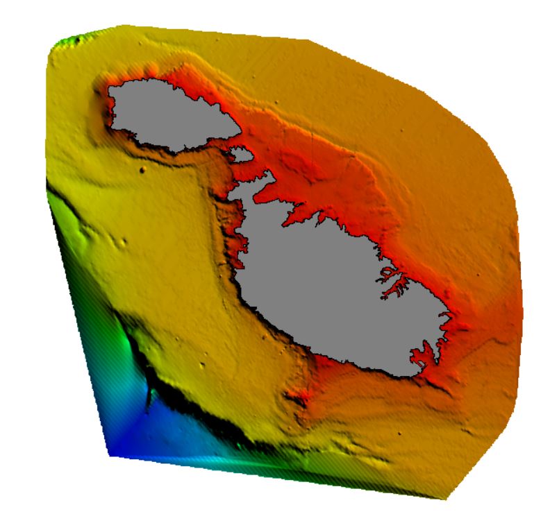
4036_UKHO
The data was acquired with single beam echosounder in the 1950s.
|
|
Citation proposal
Transport Malta - Maritime Division (ex. Malta Maritime Authority). 4036_UKHO. https://services.mspdata.eu:/geonetwork/srv/api/records/SDN_CPRD_706_UKHO |
Simple
- Alternate title
- Date ( Creation )
- 2019-12-10
- Date ( Revision )
- Identifier
-
UKHO
Originator
Marine Geology and Seafloor Surveying group, Department of Geosciences, University of Malta
115, Maths and Physics Building
Msida
MSD 2080
Malta
- Website
- web site
Custodian
Transport Malta - Maritime Division (ex. Malta Maritime Authority)
TRANSPORT MALTA Centre,
Marsa
MRS 1917
Malta
- Parameter Discovery Vocabulary (P02) ( parameter )
-
-
Bathymetry and Elevation
-
- SeaDataNet device categories ( Theme )
-
-
single-beam echosounders
-
- Positioning devices ( Theme )
-
-
Differential Global Positioning System receivers
-
- SeaDataNet depth measurement reference planes ( Theme )
-
-
Lowest Astronomical Tide
-
- Project name ( Theme )
-
-
EMODnet HRSM
-
- Thèmes Sextant ( Theme )
-
-
/Physical Environment/Bathymetry/Digital Terrain Model
-
- GEMET - INSPIRE themes, version 1.0 ( Theme )
-
-
Elevation
-
- Use limitation
-
By negotiation
- Access constraints
- by negotiation
- Use constraints
- Other restrictions
- Other constraints
- Use limitation
- Spatial representation type
- Grid
- Denominator
- 100000
- Distance
- 60 meter
- Metadata language
- English
- Character set
- UTF8
- Topic category
-
- Oceans
Vertical extent
- Minimum value
- 0
- Maximum value
- 960
- Description
N
S
E
W
))
- Reference system identifier
-
EPSG
/WGS 84 (EPSG:4326)
/7.4
- Number of dimensions
- 3
- Dimension name
- Column
- Dimension size
- 803
- Dimension name
- Row
- Dimension size
- 794
- Dimension name
- Time
- Dimension size
- 1
- Cell geometry
- Point
- Transformation parameter availability
- false
- Checkpoint Availability
- false
- Point in Pixel
-
- Center
- Distribution format
-
-
XYZ Ascii
()
-
- Transfer size
- 19
- Hierarchy level
- Dataset
Conformance result
- Date
- Explanation
- Pass
- false
Quantitative attribute accuracy
- Name of measure
-
depth
- Measure identification
-
depth accuracy
- Measure description
- Evaluation method description
Quantitative result
- Value
- not defined
Gridded data positional accuracy
- Name of measure
-
horizontal accuracy
- Measure identification
-
horizontal accuracy of coordinate
- Measure description
- Evaluation method description
Quantitative result
- Value type
- horizontal accuracy
Absolute external positional accuracy
- Name of measure
-
emodnet-bathymetry.QI.Horizontal
- Value
- 3 - < 20 m
Absolute external positional accuracy
- Name of measure
-
emodnet-bathymetry.QI.Vertical
- Value
- 3 - Lidar, SBES high frequency
Domain consistency
- Name of measure
-
emodnet-bathymetry.QI.Purpose
- Value
- 3 - Hydrographic survey or compatible with hydrographic standards
- Hierarchy level
- Software
- Description
- Other
-
software
- Hierarchy level
- Property type
- Description
-
parameters of data processing
- Other
-
data processing details
- Statement
-
The data was processed using Globe software..
- Description
-
4036_UKHO
Metadata
- File identifier
- SDN_CPRD_706_UKHO XML
- Metadata language
- English
- Character set
- UTF8
- Hierarchy level
- Dataset
- Hierarchy level name
-
Composite Product Record
- Date stamp
- 2019-12-11T09:11:13
- Metadata standard name
-
ISO 19115:2003/19139 - EMODNET - BATHYMETRY
- Metadata standard version
-
1.0