 Metadata catalogue
EMODnet_2022_Skanestrand_SGU
The dataset is provided by Geological Survey of Sweden (SGU) for EMODnet Bathymetry 2022.
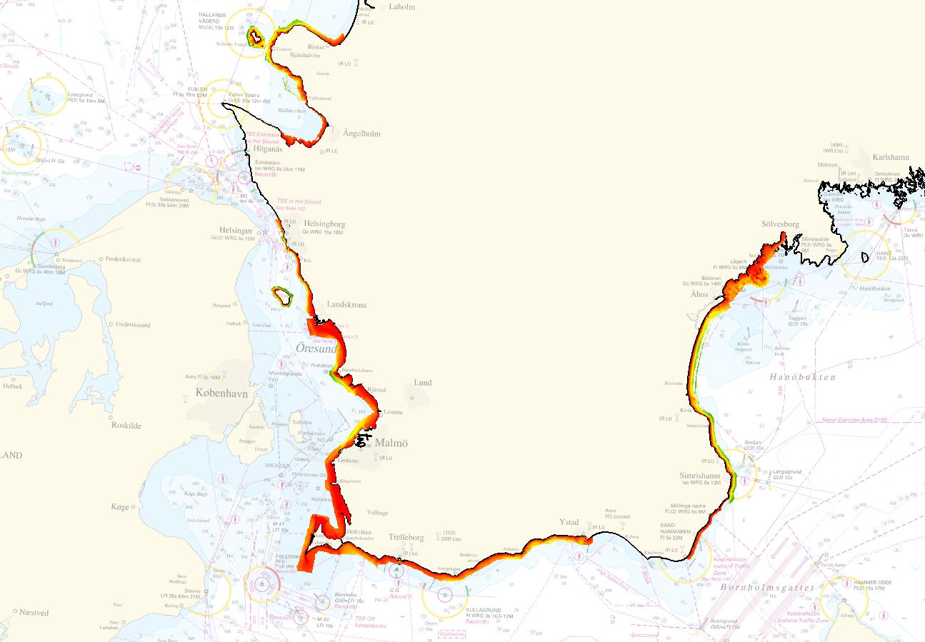
The dataset covers the areas of Skåne strand, in the Baltic Sea Region. The area was surveyed using LiDAR and multibeam sonar and merged into one composite grid. For the EMODnet project, the data was delivered in a resolution of 1 meter.
|
|
Citation proposal
Geological Survey of Sweden. EMODnet_2022_Skanestrand_SGU. https://services.mspdata.eu:/geonetwork/srv/api/records/SDN_CPRD_619_Skanestrand_SGU_2022 |
Simple
- Date ( Creation )
- 2017-12-31
- Date ( Revision )
- Identifier
-
Skanestrand_SGU_2022
Originator
Custodian
- Project name ( Theme )
-
-
EMODNet Bathymetry
-
- SeaDataNet device categories ( Theme )
-
-
bathymetric LiDARs
,multi-beam echosounders
-
- http://vocab.ndg.nerc.ac.uk/ ( Stratum )
-
- Parameter Discovery Vocabulary (P02) ( parameter )
-
-
Bathymetry and Elevation
-
- GEMET - INSPIRE themes, version 1.0 ( Theme )
-
-
Hydrography
,Elevation
-
- SeaDataNet depth measurement reference planes ( Theme )
-
-
Baltic Sea Chart Datum 2000
-
- Use limitation
- Access constraints
- unknown
- Use constraints
- Copyright
- Other constraints
- Use limitation
-
Scientific work.
- Spatial representation type
- Grid
- Distance
- 1 Metres (m)
- Metadata language
- English
- Character set
- UTF8
- Topic category
-
- Oceans
))
- Geographic identifier
-
Southern Sweden.
Vertical extent
Vertical datum
- Description
-
Map projection parameters, values and units :
Axes units :
- Unique resource identifier
- Codespace
-
EPSG
- Version
-
7.4
- Reference system identifier
-
SWEREF99TM (EPSG:3006)
/
- Number of dimensions
- 3
- Dimension name
- Column
- Dimension name
- Row
Axis Dimensions Properties
- Cell geometry
- Point
- Transformation parameter availability
- false
- Checkpoint Availability
- false
- Point in Pixel
-
- Center
- Hierarchy level
- Dataset
Vertical extent
- Minimum value
- 0
- Maximum value
- 100
Vertical CS
Vertical datum
- Statement
-
no information
- Hierarchy level
- Feature
- Dataset
-
accuracy
Gridded data positional accuracy
- Name of measure
-
horizontal accuracy
- Measure identification
-
horizontal accuracy of coordinate
- Measure description
- Evaluation method description
-
Estimation.
Quantitative result
- Value type
- horizontal accuracy
- Value
- 5 meters.
Quantitative attribute accuracy
- Name of measure
-
depth
- Measure identification
-
depth accuracy
- Measure description
- Evaluation method description
-
1 meter. Estimation.
Quantitative result
- Value
- not defined
Conformance result
- Date
- Explanation
-
Average.
- Hierarchy level
- Software
- Description
- Other
-
software
- Hierarchy level
- Property type
- Description
-
parameters of data processing
- Attributes
- Statement
-
LiDAR and multibeam sonar data was QC:d and merged into one composite grid for the final product.
- Description
- Hierarchy level
- Dataset
Absolute external positional accuracy
- Name of measure
-
emodnet-bathymetry.QI.Horizontal
- Value
- 3 - < 20 m
Absolute external positional accuracy
- Name of measure
-
emodnet-bathymetry.QI.Vertical
- Value
- 3 - Lidar, SBES high frequency
Domain consistency
- Name of measure
-
emodnet-bathymetry.QI.Purpose
- Value
- 2 - Bathymetric/morphologic survey
Metadata
- File identifier
- SDN_CPRD_619_Skanestrand_SGU_2022 XML
- Metadata language
- English
- Character set
- UTF8
- Hierarchy level name
-
Product record
- Date stamp
- 2022-06-10T07:46:43.617Z
- Metadata standard name
-
ISO 19115:2003/19139 - EMODNET - BATHYMETRY
- Metadata standard version
-
1.0
Author
Overviews
Provided by
