Metadata catalogue
Nord Stream 2 dataset 2024
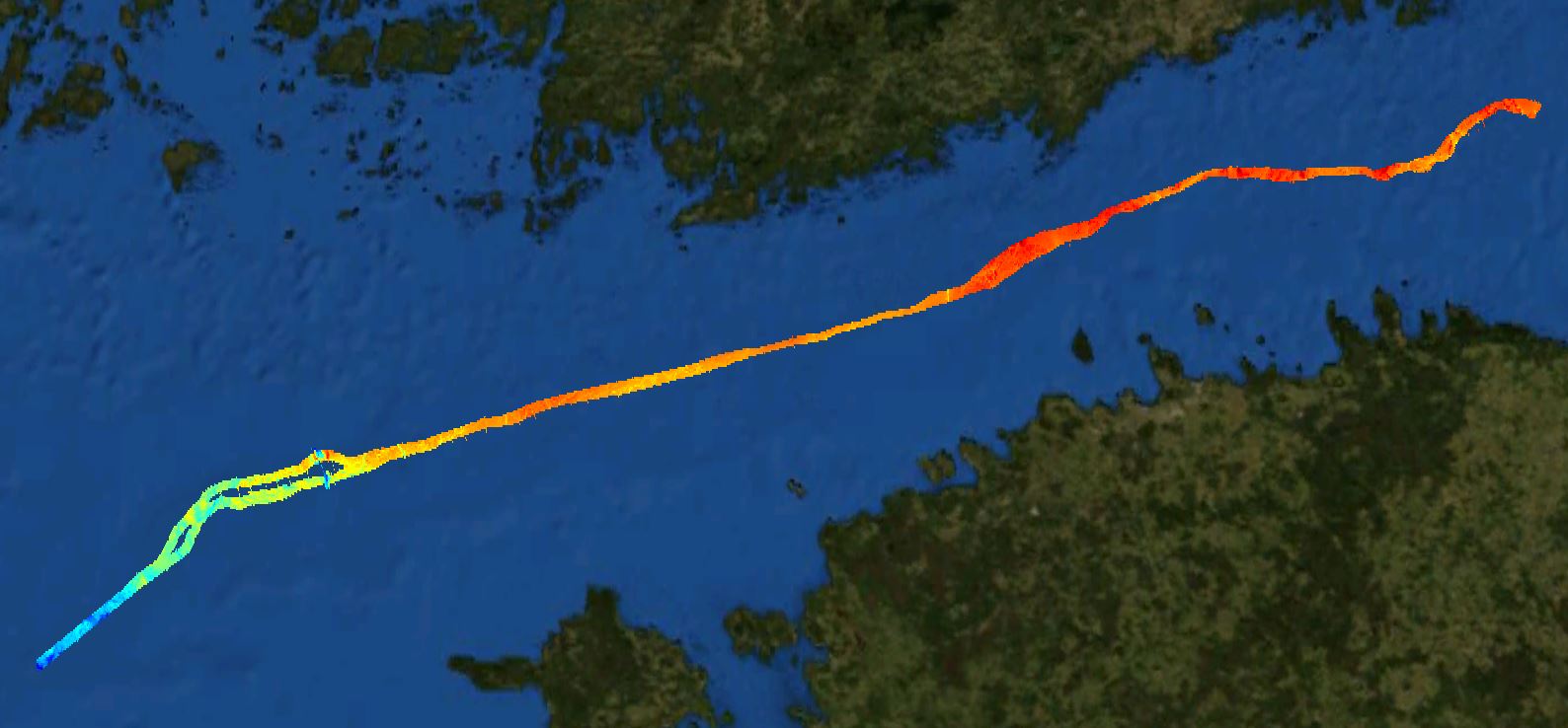
The Nord Stream 2 dataset covers a narrow zone of the pipeline. The pupose is reconnaissance surveys.
|
|
Citation proposal
Finnish Transport and Communications Agency. Nord Stream 2 dataset 2024. https://services.mspdata.eu:/geonetwork/srv/api/records/SDN_CPRD_4995_NordStream2_2024 |
Simple
- Alternate title
- Date ( Creation )
- 2015-12-23
- Date ( Revision )
- Identifier
-
NordStream2_2024
Originator
Finnish Transport and Communications Agency Traficom
P.O. Box 320
TRAFICOM
00059
Finland
- Website
- web site
Custodian
Finnish Transport and Communications Agency Traficom
P.O. Box 320
TRAFICOM
00059
Finland
- Website
- web site
- Project name ( Theme )
-
-
EMODnet HRSM
-
- SeaDataNet device categories ( Theme )
-
-
multi-beam echosounders
-
- http://vocab.ndg.nerc.ac.uk/ ( Stratum )
-
- Parameter Discovery Vocabulary (P02) ( parameter )
-
-
Bathymetry and Elevation
-
- GEMET - INSPIRE themes, version 1.0 ( Theme )
-
-
Hydrography
-
- SeaDataNet depth measurement reference planes ( Theme )
-
- Use limitation
- Access constraints
- Creative Commons Attribution 4.0 International
- Use constraints
- Creative Commons Attribution 4.0 International
- Other constraints
-
NOT FOR NAVIGATION
- Use limitation
-
Not suitable for navigation.
- Spatial representation type
- Grid
- Distance
- 10 Metres (m)
- Metadata language
- English
- Character set
- UTF8
- Topic category
-
- Oceans
))
- Unique resource identifier
- Description
-
Map projection parameters, values and units :
Axes units :
- Unique resource identifier
- Codespace
-
EPSG
- Version
-
7.4
- Reference system identifier
-
EPSG
/ETRS89 UTM Zone 34N
/
- Reference system identifier
-
ETRS89 UTM Zone 35N
/
- Number of dimensions
- 3
- Dimension name
- Column
- Dimension size
- 11488
- Dimension name
- Row
- Dimension size
- 2304
- Dimension name
- Time
- Dimension size
- 1
- Cell geometry
- Point
- Transformation parameter availability
- false
- Checkpoint Availability
- false
- Point in Pixel
-
- Center
- Distribution format
-
-
ESRI Shapefile
(1.0
)- Specification
-
GeoTIFF
(1.0
) -
Text
()
-
Distributor
Finnish Transport and Communications Agency Traficom
P.O. Box 320
TRAFICOM
00059
Finland
- Website
- web site
- Transfer size
- 631
- Protocol
-
WWW:LINK
- Name
- Description
- Function
- Information
- OnLine resource
- EMODnet Bathymetry WMTS service
- Hierarchy level
- Dataset
Vertical extent
- Minimum value
- -25
- Maximum value
- -212
Vertical CS
Vertical datum
- Statement
-
no information
- Hierarchy level
- Feature
- Dataset
-
accuracy
Gridded data positional accuracy
- Name of measure
-
horizontal accuracy
- Measure identification
-
horizontal accuracy of coordinate
- Measure description
-
High-detail bathymetry. 10m resolution.
- Evaluation method description
Quantitative result
- Value type
- horizontal accuracy
Quantitative attribute accuracy
- Name of measure
-
depth
- Measure identification
-
depth accuracy
- Measure description
- Evaluation method description
Quantitative result
- Value
- not defined
Conformance result
- Date
- Explanation
- Hierarchy level
- Software
- Description
- Other
-
software
- Hierarchy level
- Property type
- Description
-
parameters of data processing
- Attributes
- Statement
-
Description of data processing : No interpolation of data.
- Description
-
Description of processed data sources : Multibeam survey carried out by the Finnish Transport and Communications Agency. Is also available as open data (dense point cloud data).
- Hierarchy level
- Dataset
Absolute external positional accuracy
- Name of measure
-
emodnet-bathymetry.QI.Horizontal
- Value
- 3 - < 20 m
Absolute external positional accuracy
- Name of measure
-
emodnet-bathymetry.QI.Vertical
- Value
- 4 - MBES High frequency (higher that 100kHz) (1+0.5%d)
Domain consistency
- Name of measure
-
emodnet-bathymetry.QI.Purpose
- Value
- 2 - Bathymetric/morphologic survey
Metadata
- File identifier
- SDN_CPRD_4995_NordStream2_2024 XML
- Metadata language
- English
- Character set
- UTF8
- Hierarchy level name
-
Product record
- Date stamp
- 2024-05-30T09:06:13.839Z
- Metadata standard name
-
ISO 19115:2003/19139 - EMODNET - BATHYMETRY
- Metadata standard version
-
1.0