Metadata catalogue
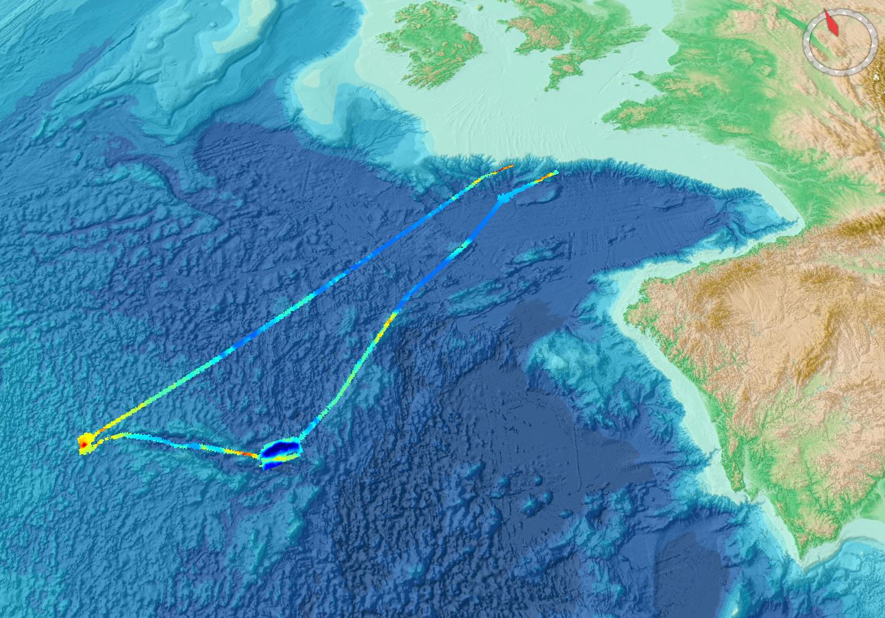
486_ESS-ULYX-PP-2023-2_GRIDDED_DATA
Gridded data for the ESS-ULYX-PP-2023-2 cruise.
|
|
Citation proposal
Ifremer, Scientific Information Systems for the sea. 486_ESS-ULYX-PP-2023-2_GRIDDED_DATA. https://services.mspdata.eu:/geonetwork/srv/api/records/SDN_CPRD_486_MB_ESS-ULYX-PP-2023-2 |
Simple
- Alternate title
- Date ( Creation )
- 2024-01-09
- Date ( Revision )
- Identifier
-
MB_ESS-ULYX-PP-2023-2
Originator
IFREMER Centre de Bretagne
ZI Pointe du diable
CS 10070
PLOUZANE
29280
France
Custodian
IFREMER Centre de Bretagne
ZI Pointe du diable
CS 10070
PLOUZANE
29280
France
- Project name ( Theme )
-
- SeaDataNet device categories ( Theme )
-
-
multi-beam echosounders
-
- http://vocab.ndg.nerc.ac.uk/ ( Stratum )
-
- Parameter Discovery Vocabulary (P02) ( parameter )
-
-
Bathymetry and Elevation
-
- GEMET - INSPIRE themes, version 1.0 ( Theme )
-
-
Hydrography
-
- SeaDataNet depth measurement reference planes ( Theme )
-
-
Lowest Astronomical Tide
-
- Use limitation
- Access constraints
- Creative Commons Attribution 4.0 International
- Use constraints
- Other restrictions
- Other constraints
-
Do not use for navigation
Citation :
BRIGNONE Lorenzo (2023) ESS-ULYX-PP-2023-2 cruise, RV Pourquoi pas ?, https://doi.org/10.17600/18003469
Pierre Delphine (2023). Campagne ESSULYX23B. Septembre 2023. REM/GEOOCEAN/ANTIPOD. https://doi.org/10.13155/990 15
DTM access :
https://sextant.ifremer.fr/Donnees/Catalogue#/metadata/9b5f6aef-a207-4f18-a5ec-6863dc5995c 5
- Use limitation
- Spatial representation type
- Grid
- Denominator
- 100000
- Distance
- 3.75 Arc second
- Metadata language
- English
- Character set
- UTF8
- Topic category
-
- Oceans
))
- Unique resource identifier
- Description
-
Map projection parameters, values and units :
Axes units :
- Unique resource identifier
- Codespace
-
EPSG
- Version
-
7.4
- Reference system identifier
-
EPSG
/WGS 84 (EPSG:4326)
/7.4
- Number of dimensions
- 3
- Dimension name
- Column
- Dimension size
- 16768
- Dimension name
- Row
- Dimension size
- 5184
- Dimension name
- Time
- Dimension size
- 1
- Cell geometry
- Point
- Transformation parameter availability
- false
- Checkpoint Availability
- false
- Point in Pixel
-
- Center
- Distribution format
-
-
NetCDF
()- Specification
-
Distributor
IFREMER Centre de Bretagne
ZI Pointe du diable
CS 10070
PLOUZANE
29280
France
- Transfer size
- 80
- Protocol
-
WWW:LINK
- Name
- Description
- Function
- Information
- OnLine resource
- EMODnet Bathymetry WMTS service
- Hierarchy level
- Dataset
Vertical extent
- Minimum value
- 1100
- Maximum value
- 5985
Vertical CS
Vertical datum
- Statement
-
no information
- Hierarchy level
- Feature
- Dataset
-
accuracy
Gridded data positional accuracy
- Name of measure
-
horizontal accuracy
- Measure identification
-
horizontal accuracy of coordinate
- Measure description
- Evaluation method description
Quantitative result
- Value type
- horizontal accuracy
Quantitative attribute accuracy
- Name of measure
-
depth
- Measure identification
-
depth accuracy
- Measure description
- Evaluation method description
Quantitative result
- Value
- not defined
Conformance result
- Date
- Explanation
- Hierarchy level
- Software
- Description
- Other
-
software
- Hierarchy level
- Property type
- Description
-
parameters of data processing
- Attributes
- Statement
-
Description of data processing :
Data processing report:
Pierre Delphine (2023). Campagne ESSULYX23B. Septembre 2023. REM/GEOOCEAN/ANTIPOD. https://doi.org/10.13155/990 15
The data are processed into a 50 meters grid before conversion to a 1/16 arc minute grid for the EMODnet Bathymetry regional grid.
Processing with the Ifremer Globe software : data validation, data cleaning and gridding.
- Description
-
Description of processed data sources : multibeam data from the ESS-ULYX-PP-2023-2 cruise.
BRIGNONE Lorenzo (2023) ESS-ULYX-PP-2023-2 cruise, RV Pourquoi pas ?, https://doi.org/10.17600/18003469
- Hierarchy level
- Dataset
Absolute external positional accuracy
- Name of measure
-
emodnet-bathymetry.QI.Horizontal
- Value
- 3 - < 20 m
Absolute external positional accuracy
- Name of measure
-
emodnet-bathymetry.QI.Vertical
- Value
- 2 - MBES low frequency (lower than 100kHz) (similar than 1+2%d)
Domain consistency
- Name of measure
-
emodnet-bathymetry.QI.Purpose
- Value
- 1 - Transit and/or opportunity
Metadata
- File identifier
- SDN_CPRD_486_MB_ESS-ULYX-PP-2023-2 XML
- Metadata language
- English
- Character set
- UTF8
- Hierarchy level name
-
Product record
- Date stamp
- 2024-07-01T08:10:15.331Z
- Metadata standard name
-
ISO 19115:2003/19139 - EMODNET - BATHYMETRY
- Metadata standard version
-
1.0
Author
IFREMER Centre de Bretagne
ZI Pointe du diable
CS 10070
PLOUZANE
29280
France