 Metadata catalogue
SAREDA MODIS-derived daily gridded Sargassum area coverage over the Atlantic
|
|
Citation proposal
Jacques Descloitres Jacques Descloitres (AERIS/ICARE AERIS/ICARE ) - Léo Berline Léo Berline (MIO MIO ) - Jacques Descloitres Jacques Descloitres (AERIS/ICARE AERIS/ICARE ) (2021) . SAREDA MODIS-derived daily gridded Sargassum area coverage over the Atlantic. AERIS/ICARE - CNES/TOSCA AERIS/ICARE - CNES/TOSCA https://services.mspdata.eu:/geonetwork/srv/api/records/8fe1cdcb-f4ea-4c81-8543-50f0b39b4eca |
Simple
- Date ( Publication )
- 2021-09-15
- Date
- Identifier
- DOI:10.12770/8fe1cdcb-f4ea-4c81-8543-50f0b39b4eca
- Credit
- AERIS/ICARE - CNES/TOSCA
Principal investigator
Publisher
- Centre de données ODATIS Centre de données ODATIS ( Theme )
-
- Others
- Variables ODATIS Variables ODATIS ( Theme )
-
- Keywords
-
- Sargassum, seaweed, macroalgae
- Type de jeux de donnée ODATIS Type de jeux de donnée ODATIS ( Theme )
-
- /Remote sensing , /Processed data/Composite products
- Thèmatiques ODATIS Thèmatiques ODATIS ( Theme )
-
- Added-value products
- Processing level Processing level ( processing-level )
-
- Agreed Parameter Groups (P03) Agreed Parameter Groups (P03) ( parameter )
-
- Use limitation
- Access constraints
- Restricted
- Use constraints
- Other restrictions
- Other constraints
-
Access to the dataset is available upon registration:
https://www.icare.univ-lille.fr/register/
The conditions of use are specified on the page :
- Spatial representation type
- Grid
- Metadata language
- French
- Character set
- UTF8
- Topic category
-
- Oceans
))
- Geometric object type
- Complex
- Distribution format
-
-
NetCDF
(CF )
-
NetCDF
(CF )
- OnLine resource
-
DOI of the dataset Sargassum
DOI of the dataset Sargassum
- Hierarchy level
- Dataset
- Statement
-
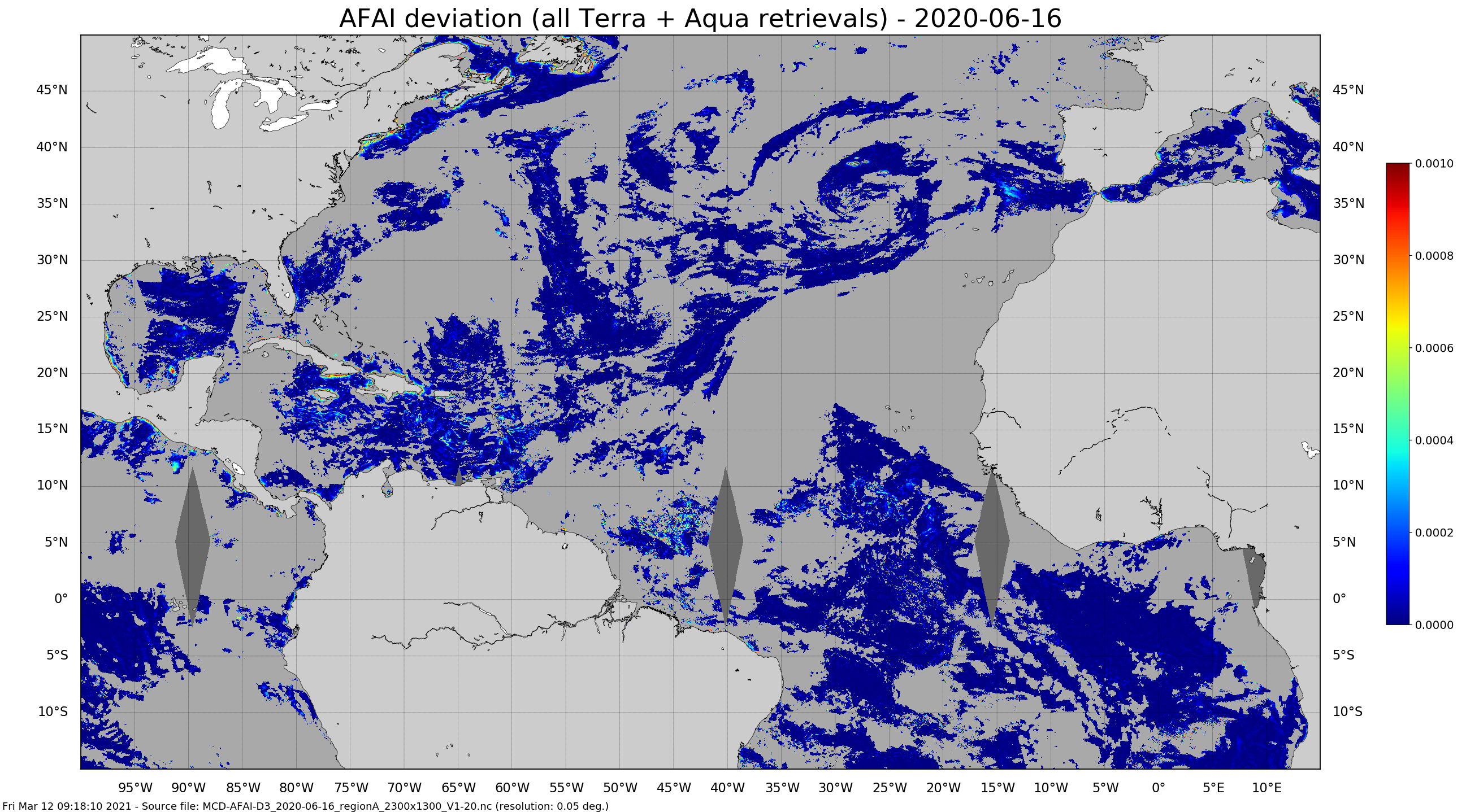
The SAREDA (SArgassum Evolving Distribution in the Atlantic) algorithm performs a contextual detection of Sargassum using the Alternative Floating Algae Index (AFAI) (Wang and Hu, 2016). The AFAI deviation with respect to the local background is used to retrieve the Sargassum area coverage, i.e. the fraction of MODIS pixels covered with Sargassum. Daily gridded 1km and 5km composites are derived from MODIS-Terra and MODIS-Aqua instantaneous retrievals.
Within the framework of the SAREDA project, supported by TOSCA-CNES and IRD, the MIO has partnered with the AERIS cluster and its ICARE data and services centre specialised in the massive exploitation of Earth observation spatial data, for the processing of data. GeoID-OCEAN contributed to the implementation of the prototype processing chain.
References :
- Minghelli et al. (2021). Estimation of Sargassum fractional coverage from MODIS and Sentinel-2 MSI satellite sensors. Submitted
- Podlejski et al. (2021). Sargassum observations from MODIS: a new method for false detection filtering. Submitted
Metadata
- File identifier
- 8fe1cdcb-f4ea-4c81-8543-50f0b39b4eca XML
- Metadata language
- French
- Character set
- UTF8
- Hierarchy level
- Dataset
- Date stamp
- 2021-10-13T10:47:41
- Metadata standard name
- ISO 19115:2003/19139 - SEXTANT
- Metadata standard version
- 1.0
Overviews


Provided by
