Metadata catalogue
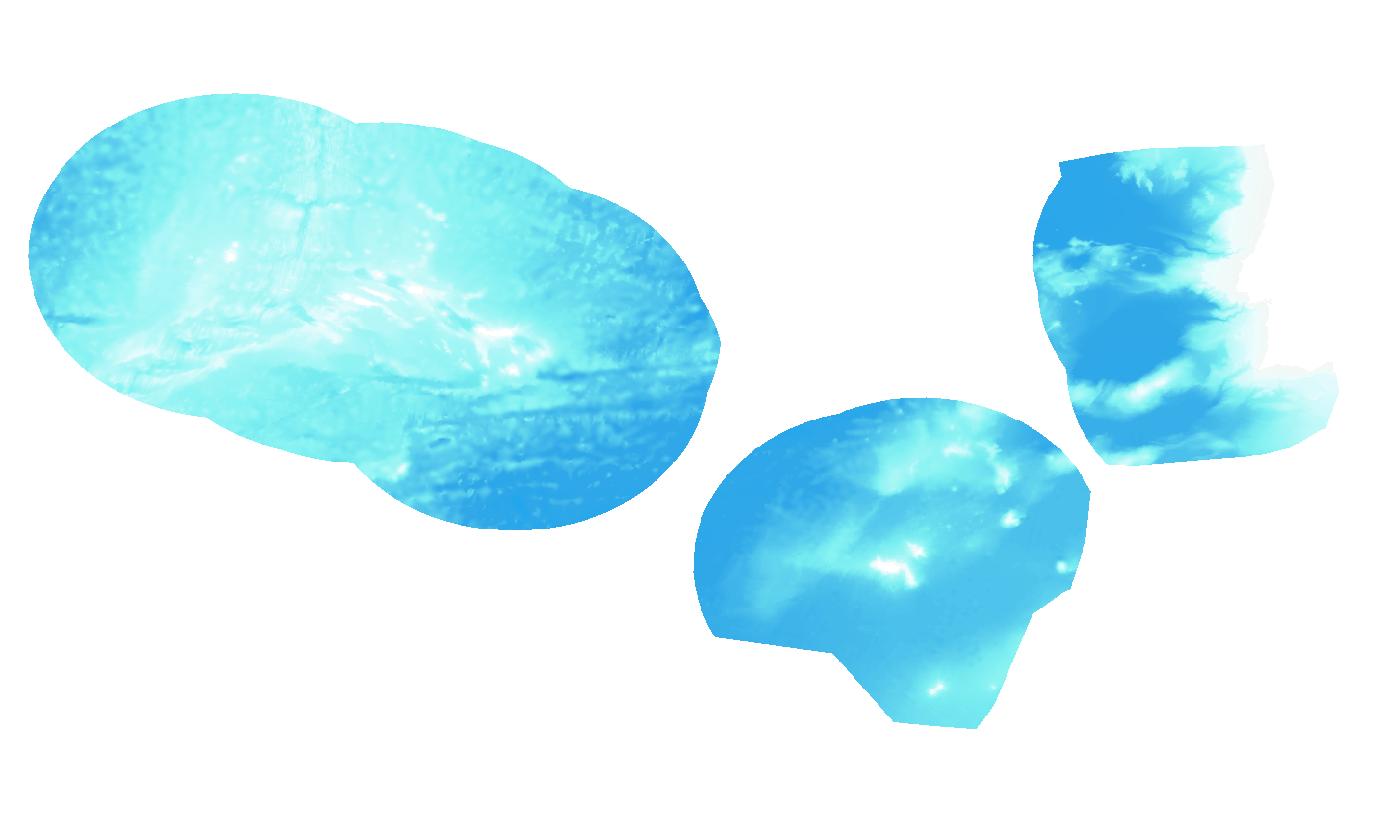
Web Map Service - Batimetria Geral
WMS criado com base numa camada de informação matricial gerada a partir de uma malha regular de profundidades, cobre toda a Zona Económica Exclusiva (ZEE) de Portugal com um espaçamento de 1/16 arcos de minuto (ca 115 metros).
Modelo batimétrico foi extraído a partir do modelo produzido no âmbito do projeto EMODnet Bathymetry.
Para mais informações sobre o projeto:
|
|
Citation proposal
(2019) . Web Map Service - Batimetria Geral. https://services.mspdata.eu:/geonetwork/srv/api/records/7418c3f5-d736-45d7-9540-0d5fdf28ae88 |
Simple
Identification info
- Alternate title
- WMS Batimetria Geral
- Date ( Publication )
- 2019-12-05
- Date ( Revision )
- 2019-12-05
- Date ( Creation )
- 2019-12-05
- Purpose
- Publicar sobre a forma de WMS o CDG da Batimetria Geral
- Credit
- Instituto Hidrográfico
Point of contact
Distributor
- Maintenance and update frequency
- asNeeded As needed
- ISO - 19119 geographic services taxonomy
-
- humanGeographicViewer
- Keywords ( Theme )
-
- INSPIRECORE
- ISO 19119 service taxonomy
-
- infoMapAccessService
- Options
-
- INSPIRECORE
- Access constraints
- otherRestrictions Other restrictions
- Use limitation
- Sem restrições
- Classification
- unclassified Unclassified
- Use constraints
- otherRestrictions Other restrictions
- Service Type
- view
- Extent type code
- true
- Geographic identifier
- Local
N
S
E
W
))
Vertical extent
- Minimum value
- 0
- Maximum value
- 6000
Vertical CS
Vertical datum
- Coupling Type
- tight Tight
Contains Operations
- Operation Name
- GetCapabilities
- Distributed Computing Platforms
- XML XML
- Reference system identifier
- EPSG / 4326
- Distribution format
-
-
JPEG
(não se aplica )
- Specification
-
TIFF
(não se aplica )
- Specification
-
PNG
(não se aplica )
- Specification
-
GEOTIFF
(não se aplica )
- Specification
-
JPEG
(não se aplica )
- OnLine resource
-
accessPoint
accessPoint
- Hierarchy level
- service Service
- Other
- Serviço
Conformance result
- Date ( Publication )
- 2010-11-23
- Explanation
- Ver a especificação citada.
- Pass
- false
- Statement
- O CDG foi produzido e é da responsabilidade do Instituto Hidrográfico.
Metadata
- File identifier
- 7418c3f5-d736-45d7-9540-0d5fdf28ae88 XML
- Metadata language
- por Portuguese
- Character set
- utf8 UTF8
- Hierarchy level
- service Service
- Hierarchy level name
- Serviço de dados geográficos
- Date stamp
- 2020-11-25
- Metadata standard name
- ISO 19115 Sistema de Metadados dos Açores