Metadata catalogue
Wave direction | Bottom orbital speed of orbital waves in the water body by model prediction | | 12km wave model
|
|
Citation proposal
. Wave direction | Bottom orbital speed of orbital waves in the water body by model prediction | | 12km wave model. https://services.mspdata.eu:/geonetwork/srv/api/records/674f185f-3861-4f08-8c60-c45c48fed8fb |
Simple
- Alternate title
- 12km wave model
- Date
- Identifier
- Wave direction | Bottom orbital speed of orbital waves in the water body by model prediction | | 12km wave model
- Other citation details
- Purpose
- To provide users with a climatology on wave-induced water motion at the seabed
- Credit
- Maintenance and update frequency
- Not planned
- Used by challenges ( Theme )
-
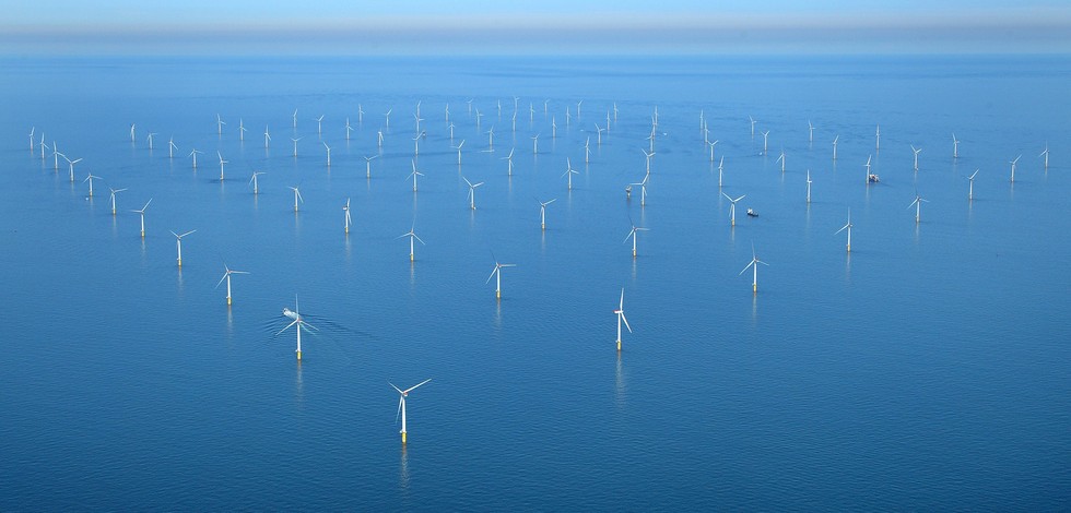
- Atlantic - CH01 - Windfarm Siting
- Environmental matrix ( Theme )
-
- Marine water
- Production mode ( Theme )
-
- Real-time
- Visibility ( Theme )
-
- Search via reference catalogue (e.g. MyOcean, GEOSS Geoportal…)
- Policy visibility ( Theme )
-
- There is no information at all on data policy adopted by data providers
- Readyness ( Theme )
-
- Format not proprietary and content clearly specified (e.g. autodescriptive like ODV, NetCDF CF) or at least with appropriate document describing the content
- Parameter Discovery Vocabulary (P02) ( parameter )
-
- Wave direction
- GEMET - INSPIRE themes, version 1.0 ( Theme )
-
- Oceanographic geographical features
- Processing level of characteristics ( Theme )
-
- Forecast/Hindcast
- Data delivery mechanisms ( Theme )
-
- Manual process: Order form/invoice is requested
- Parameter Usage Vocabulary (P01) ( parameter )
-
- Bottom orbital speed of orbital waves in the water body by model prediction
- Parameter Usage Vocabulary (other) ( Theme )
-
- Agreed Parameter Groups (P03) ( parameter )
-
- Waves
- Service extent ( Theme )
-
- Data sets are not referenced in a catalogue or are referenced in a non public catalogue
- Reliability ( Theme )
-
- Validation ( Theme )
-
- Draft
- Access constraints
- Other restrictions
- Other constraints
- Unrestricted
- Use limitation
- Open and Free. No charge
- Spatial representation type
- vector Vector
- Distance
- 12000 meter
- Metadata language
- French
- Character set
- utf8 UTF8
- Topic category
-
- Oceans
- Environment description
- wave data will be used as major indicator in fitness for use OWF siting assessment
N
S
E
W
))
Vertical extent
- Minimum value
- 0
- Maximum value
- 0
- Supplemental Information
- Unique resource identifier
- Codespace
- Version
- Number of dimensions
- 0
- Dimension name
- Time
- Resolution
- 1 hour
- Transformation parameter availability
- true
- Checkpoint Availability
- true
- Distribution format
-
- NetCDF ()
- Protocol
- WWW:LINK
- Name
- Forecasts-Waves
- Protocol
- WWW:LINK
- Name
- Hierarchy level
- Dataset
Domain consistency
- Name of measure
- Responsiveness
Quantitative result
- Value
- Less or equal to 1 week for release
Domain consistency
- Name of measure
- Reliability
Quantitative result
- Statement
Metadata
- File identifier
- 674f185f-3861-4f08-8c60-c45c48fed8fb XML
- Metadata language
- English
- Character set
- UTF8
- Hierarchy level
- Series
- Hierarchy level name
- Atlantic - CH01 - Windfarm Siting
- Date stamp
- 2017-05-18T10:06:24
- Metadata standard name
- ISO 19115-3 - Emodnet Checkpoint - Upstream Data
- Metadata standard version
- 1.0