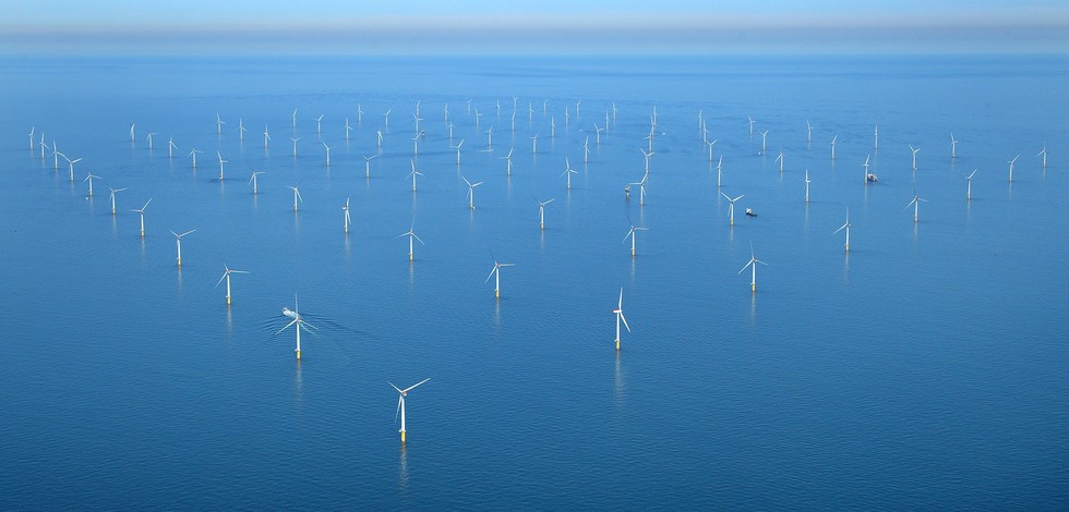
Administrative units | FAO fisheries marine areas | FAO / FAO - Food and Agriculture Organization of the United Nations | FAO fisheries statistical marine areas
|
|
Citation proposal
. Administrative units | FAO fisheries marine areas | FAO / FAO - Food and Agriculture Organization of the United Nations | FAO fisheries statistical marine areas. https://services.mspdata.eu:/geonetwork/srv/api/records/485f59c1-32de-4c6b-8d36-c53a15a26958 |
Simple
- Alternate title
-
FAO fisheries statistical marine areas
- Date
- Identifier
-
Administrative units | FAO fisheries marine areas | FAO / FAO - Food and Agriculture Organization of the United Nations | FAO fisheries statistical marine areas
- Other citation details
-
FAO fisheries statistical marine areas
- Purpose
-
Spatial representation of fisheries statistical marine areas
- Credit
edmerp
edmo
Viale delle Terme di Caracalla
ROME
00153
Italy
- Website
- web site
Originator
Viale delle Terme di Caracalla
ROME
00153
Italy
- Website
- web site
- Maintenance and update frequency
- As needed
- Used by challenges ( Theme )
-
-
Atlantic - CH01 - Windfarm Siting
-
- Environmental matrix ( Theme )
-
-
Human activities
-
- Production mode ( Theme )
-
-
Delayed
-
- Visibility ( Theme )
-
-
Search via reference catalogue (e.g. MyOcean, GEOSS Geoportal…)
-
- Policy visibility ( Theme )
-
-
There is detailed information provided to understand data policy
-
- Readyness ( Theme )
-
-
Format proprietary but content clearly specified
-
- Parameter Discovery Vocabulary (P02) ( parameter )
-
-
Administrative units
-
- GEMET - INSPIRE themes, version 1.0 ( Theme )
-
-
Sea regions
-
- Processing level of characteristics ( Theme )
-
-
High level analyzed
-
- Data delivery mechanisms ( Theme )
-
-
Online discovery + downloading + viewing services (Advanced services)
-
- Parameter Usage Vocabulary (P01) ( parameter )
-
- Parameter Usage Vocabulary (other) ( Theme )
-
-
FAO fisheries marine areas
-
- Agreed Parameter Groups (P03) ( parameter )
-
-
Fisheries
-
- Service extent ( Theme )
-
-
The datasets are provided through an EU Inspire catalogue service (OGC)
-
- Reliability ( Theme )
-
- Validation ( Theme )
-
-
Approved
-
- Keywords
-
-
SIMWESTMED
-
- Access constraints
- Other restrictions
- Other constraints
-
Unrestricted
- Use limitation
-
Free of charge for academic institutions and uses
- Spatial representation type
- Vector
- Metadata language
- French
- Character set
- UTF8
- Topic category
-
- Oceans
- Environment description
-
This dataset will be used for display fisheries statistical marine areas in the Atlantic basin
))
Vertical extent
- Supplemental Information
- Unique resource identifier
- Codespace
- Version
- Dimension name
- Time
- Transformation parameter availability
- true
- Checkpoint Availability
- true
- Distribution format
-
-
ESRI Shapefile
()
-
- OnLine resource
- FAO Statistical areas (Marine )
- OnLine resource
- FAO_AREAS
- Hierarchy level
- Dataset
Domain consistency
- Name of measure
-
Responsiveness
Quantitative result
- Value
- Online downloading (i.e. a few hours or less) for release
Domain consistency
- Name of measure
-
Reliability
Quantitative result
- Statement
-
NA
Metadata
- File identifier
- 485f59c1-32de-4c6b-8d36-c53a15a26958 XML
- Metadata language
- English
- Character set
- UTF8
- Hierarchy level
- Dataset
- Hierarchy level name
-
Atlantic - CH01 - Windfarm Siting
- Date stamp
- 2018-06-13T16:16:57
- Metadata standard name
-
ISO 19115-3 - Emodnet Checkpoint - Upstream Data
- Metadata standard version
-
1.0
 Metadata catalogue

