Metadata catalogue
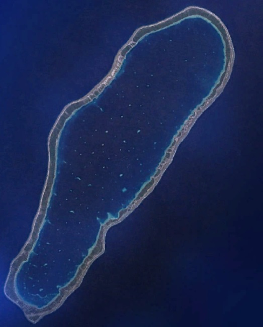
Atoll de Takapoto
Accès aux métadonnées physique, biologique, bathymétrique et STOCK de l'atoll Takapoto dans le cadre du projet MANA
|
|
Citation proposal
Le Gendre Romain (IFREMER) (2020) . Atoll de Takapoto. IFREMER https://services.mspdata.eu:/geonetwork/srv/api/records/3907e21d-3526-4b65-bdd4-9c366d1474bb |
Simple
- Date ( Publication )
- 2020-05-14
- Identifier
- DRM_MANA_TAKAPOTO
- Credit
- Projet ANR MANA (IRD, DRM, ifremer)
Publisher
Author
IFREMER
-
Le Gendre Romain
Campus IRD - 101 Promenade Roger Laroque - BP 32078 - 98897 Nouméa Cedex - Nouvelle-Calédonie
Noumea
France
Originator
Point of contact
Owner
- Thèmes Sextant ( Theme )
-
- /Activités humaines/Cultures marines
- GEMET - INSPIRE themes, version 1.0 ( Theme )
-
- Caractéristiques géographiques océanographiques
- Keywords
-
- Takapoto
- Access constraints
- Copyright
- Use constraints
- Copyright
- Other constraints
- Spatial representation type
- Vector
- Denominator
- 100000
- Metadata language
- French
- Character set
- UTF8
- Topic category
-
- Oceans
N
S
E
W
))
- Reference system identifier
- EPSG / WGS 84 (EPSG:4326) / 7.4
- Distribution format
-
- ( )
- Hierarchy level
- Dataset
Conformance result
- Date ( Publication )
- 2010-12-08
- Explanation
- See the referenced specification
- Statement
- Takapoto est un atoll moyennement profond (43m maxi) et fermé (85 km2) au Nord-Est des Tuamotu.