Metadata catalogue
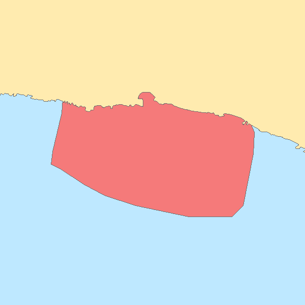
Hydrographic Survey. Calheta. S.Jorge Island. Azores. Portugal
Hydrographic survey performed by the Portuguese Hydrographic Institute (IHPT) using echosounders. The depth values are referred to the Portuguese Chart Datum.
|
|
Citation proposal
. Hydrographic Survey. Calheta. S.Jorge Island. Azores. Portugal. https://services.mspdata.eu:/geonetwork/srv/api/records/27080052-4f68-40cf-9385-cf04e3e9c480 |
Simple
- Alternate title
-
hi2102_2009_10
- Date ( Creation )
- 2014-04-28
- Identifier
-
urn:SDN:CDI:LOCAL:hi2102_2009_10
- Status
- Concluído Completed
Point of contact
- Website
- http://www.hidrografico.pt
Originator
- Website
- http://www.hidrografico.pt
- Maintenance and update frequency
- Conforme Necessário As needed
- GEMET - INSPIRE themes, version 1.0 ( Theme )
-
-
Altitude
-
- Keywords
-
-
SeaDataNet
-
- Keywords
-
-
IH
-
- Keywords
-
-
DL_180_2009_Art20_2e
-
- Thesaurus SNIMar v.0.x ( parameter )
-
-
Profundidade
-
- Thesaurus SNIMar v.0.x ( parameter )
-
-
Sonda Reduzida
-
- Thesaurus SNIMar v.0.x ( parameter )
-
-
Levantamento Hidrográfico
-
- Thesaurus SNIMar v.0.x ( parameter )
-
-
Zero Hidrográfico
-
- Thesaurus SNIMar v.0.x ( platform )
-
-
Navio de Investigação
-
- Thesaurus SNIMar v.0.x ( parameter )
-
-
Batimetria
-
- Thesaurus SNIMar v.0.x ( Discipline )
-
-
Batimetria e Geomorfologia Marinha
-
- Thesaurus SNIMar v.0.x ( instrument )
-
-
Sondador multifeixe
-
- Thesaurus SNIMar v.0.x ( instrument )
-
-
Recetor GNSS
-
- Classification
- Não Classificado Unclassified
- Use limitation
-
Com restrições
- Access constraints
- Outras Restrições Other restrictions
- Use constraints
- Direitos de Propriedade Intelectual Intellectual property rights
- Other constraints
-
Por contacto direto
- Spatial representation type
- Vectorial Vector
- Denominator
- -1
- Metadata language
- Inglês English
- Character set
- utf8 UTF8
- Topic category
-
- Oceans
- Elevation
))
- Extent type code
- true
- Geographic identifier
-
Local
Vertical extent
- Minimum value
- 0.4
- Maximum value
- 145.8
- Reference system identifier
-
EPSG
/
- Distribution format
-
-
ASCII
(N/A
)
-
Distributor
- Website
- http://www.hidrografico.pt
- Hierarchy level
- Conjunto de Dados Geográficos Dataset
Conformance result
- Date ( Publication )
- 2010-12-08
- Explanation
-
Ver a especificação citada.
- Pass
- false
- Statement
-
This is a point dataset. The depth values are referred to the Portuguese Chart Datum and represented with positive values below it and negative values above it. The Portuguese Chart Datum (Hydrographic Zero, ZH) is an established reference plane, situated below the Lowest Astronomical Tide level, which is used as a reference for the soundings and isobathymetric lines represented on nautical charts.
Metadata
- File identifier
- 27080052-4f68-40cf-9385-cf04e3e9c480 XML
- Metadata language
- Português Portuguese
- Character set
- utf8 UTF8
- Hierarchy level
- Conjunto de Dados Geográficos Dataset
- Date stamp
- 2019-04-11
- Metadata standard name
-
Perfil SNIMar
- Metadata standard version
-
v.0.9.3
Point of contact
- Website
- http://www.hidrografico.pt