 Metadata catalogue
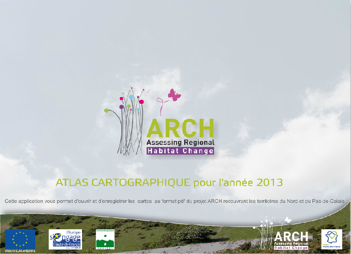
Arch Atlas cartographique 2013 Les territoires du Nord et du Pas-de-Calais
Cette application vous permet d'ouvrir et d'enregistrer les cartes au format pdf du projet Arch recouvrant les territoires du Nord et du Pas-de-Calais.
|
|
Citation proposal
(2017) . Arch Atlas cartographique 2013 Les territoires du Nord et du Pas-de-Calais. https://services.mspdata.eu:/geonetwork/srv/api/records/20e162dd-c4cb-4d88-bfc8-8940888c66ea |
Simple
- Date ( Publication )
- 2017-01-13T00:00:00
- Presentation form
- Digital map
- Credit
Point of contact
- Keywords
-
- Keywords ( Theme )
-
- Habitats et biotopes
- GEMET - INSPIRE themes, version 1.0
-
- Agriculture et élevage , Bocage , Habitats et biotopes , Occupation du sol, sol, sous-sol , Patrimoine naturel , Sol et Sous-sol
- Metadata language
- French
- Topic category
-
- Environment
N
S
E
W
))
- Reference system identifier
- Lambert 93
- Distribution format
-
- PDF (1.7 )
- OnLine resource
-
Image_Arch.png
Image_Arch.png
Conformance result
- Date ( Publication )
- 2017-01-13T00:00:00
- Explanation
- Statement
Metadata
- File identifier
- 20e162dd-c4cb-4d88-bfc8-8940888c66ea XML
- Metadata language
- French
- Character set
- UTF8
- Hierarchy level
- Dataset
- Date stamp
- 2017-01-13T00:00:00
- Metadata standard name
- ISO 19115:2003/19139
- Metadata standard version
- 1.0

