Metadata catalogue
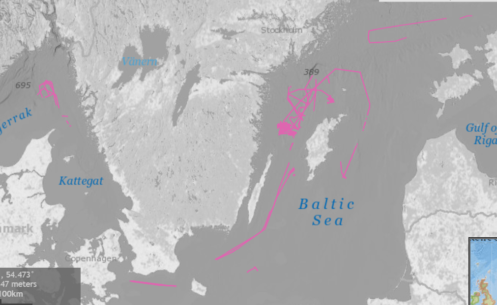
DCDB_Baltic Sea Region2024
Crowdsourced Bathymetry from survay company MacGregor. Downloaded Data Centre for Digital Bathymetry Viewer.
|
|
Citation proposal
. DCDB_Baltic Sea Region2024. https://services.mspdata.eu:/geonetwork/srv/api/records/SDN_CPRD_1215_DCDB_BalticSeaRegion2024 |
Simple
- Alternate title
- Date ( Creation )
- 2020-12-01
- Date ( Revision )
- Identifier
- DCDB_BalticSeaRegion2024
Originator
- Project name ( Theme )
-
- EMODNet Bathymetry
- SeaDataNet device categories ( Theme )
-
- single-beam echosounders , multi-beam echosounders
- http://vocab.ndg.nerc.ac.uk/ ( Stratum )
-
- Parameter Discovery Vocabulary (P02) ( parameter )
-
- Bathymetry and Elevation
- GEMET - INSPIRE themes, version 1.0 ( Theme )
-
- Hydrography
- SeaDataNet depth measurement reference planes ( Theme )
-
- Use limitation
- Access constraints
- unrestricted
- Use constraints
- Copyright
- Other constraints
- Use limitation
- Spatial representation type
- Grid
- Denominator
- 5000
- Distance
- 50 Metres (m)
- Metadata language
- English
- Character set
- UTF8
- Topic category
-
- Oceans
N
S
E
W
))
- Unique resource identifier
- Description
-
Map projection parameters, values and units :
Axes units :
- Unique resource identifier
- Codespace
- EPSG
- Version
- 7.4
- Reference system identifier
- EPSG / WGS 84 (EPSG:4326) / 7.4
- Number of dimensions
- 3
- Dimension name
- Column
- Dimension size
- 26500
- Dimension name
- Row
- Dimension size
- 11500
- Dimension name
- Time
- Dimension size
- 1
- Cell geometry
- Point
- Transformation parameter availability
- false
- Checkpoint Availability
- false
- Point in Pixel
-
- Center
- Distribution format
-
-
( )
- Specification
-
( )
Distributor
- Website
- web site
- Transfer size
- 100
- OnLine resource
- IHO DCDB Viewer
- OnLine resource
- EMODnet Bathymetry WMTS service
- Hierarchy level
- Dataset
Vertical extent
Vertical CS
Vertical datum
- Statement
- no information
- Hierarchy level
- Feature
- Dataset
- accuracy
Gridded data positional accuracy
- Name of measure
- horizontal accuracy
- Measure identification
- horizontal accuracy of coordinate
- Measure description
- Evaluation method description
Quantitative result
- Value type
- horizontal accuracy
Quantitative attribute accuracy
- Name of measure
- depth
- Measure identification
- depth accuracy
- Measure description
- Evaluation method description
Quantitative result
- Value
- not defined
Conformance result
- Date
- Explanation
- Unknown
- Hierarchy level
- Software
- Description
- Other
- software
- Hierarchy level
- Property type
- Description
- parameters of data processing
- Attributes
- Statement
- Description
- Point cloud converted to NetCDF4 format and resolution resampled to 1/32 arc minute for EMODnet Bathymetry.
- Hierarchy level
- Dataset
Absolute external positional accuracy
- Name of measure
- emodnet-bathymetry.QI.Horizontal
- Value
- 2 - Between 50 m and 20 m
Absolute external positional accuracy
- Name of measure
- emodnet-bathymetry.QI.Vertical
- Value
- 0 - Unknown, plummet, leadline, GEBCO
Domain consistency
- Name of measure
- emodnet-bathymetry.QI.Purpose
- Value
- 0 - Undefined
Metadata
- File identifier
- SDN_CPRD_1215_DCDB_BalticSeaRegion2024 XML
- Metadata language
- English
- Character set
- UTF8
- Hierarchy level name
- Product record
- Date stamp
- 2024-07-05T08:25:33.231Z
- Metadata standard name
- ISO 19115:2003/19139 - EMODNET - BATHYMETRY
- Metadata standard version
- 1.0