Metadata catalogue
EMODnet Bathymetry - Quality index version 2024
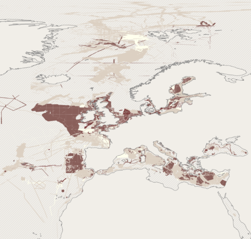
EMODnet bathymetry is composed of a multitude of datasets from a multitude of data providers. Users of the resulting grid and associated datasets need to be able to evaluate at the grid node level the quality of the bathymetric data and product they will be using.
For this EMODnet Bathymetry has introduced a Quality index (QI). The QI is available as a WFS service providing vector data and as WMS providing the QI as an image service.
The aim of the quality index is to:
• help data users to evaluate quickly the dataset they are about to request,
• indicate to the EMODnet Basin coordinators what are the limitations of the dataset they are about to merge while building the EMODnet DTM and to
• be used as the basis of the evaluation of the quality of the EMODnet DTM.
Service URL:
|
|
Citation proposal
(2025) . EMODnet Bathymetry - Quality index version 2024. https://services.mspdata.eu:/geonetwork/srv/api/records/6572ee07-a078-4adc-b868-fd1f7084c660 |
Simple
- Date ( Publication )
- 2025-03-01
- Identifier
-
EMOdnet_BAthy_QI
- Credit
Point of contact
- Thèmes Sextant ( Theme )
-
- GEMET - INSPIRE themes, version 1.0 ( Theme )
-
- Use limitation
- Access constraints
- Creative Commons Attribution 4.0 International
- Use constraints
- Other restrictions
- Other constraints
-
DO NOT USE FOR NAVIGATION
- Spatial representation type
- vector Vector
- Metadata language
- English
- Character set
- utf8 UTF8
- Topic category
-
- Oceans
))
- Distribution format
-
- ()
- OnLine resource
- EMODnet Bathymetry WMTS service
- OnLine resource
- EMODnet viewer
- OnLine resource
-
EMODnet_Bathymetry_2024_quality_index
Quality index layer 2024 (zip)
- OnLine resource
-
emodnet:quality_index
Quality index (WFS)
- OnLine resource
-
emodnet:quality_index
Quality index
- Hierarchy level
- Dataset
Domain consistency
Conformance result
- Date ( Publication )
- 2010-12-08
- Explanation
-
See the referenced specification
- Statement
-
The EMODnet Quality indicator is an integral part of the matadata associated with each individual data set that contributed to the EMODnet DTM and comprises of the following sub indicators (possible values are indicated:
QI_Horizontal
0: Unknown or > 500m (That is grossly equivalent to TACAN, OMEGA systems or similar)
1: between 500m and 50m (That is grossly equivalent to LORAN, DECCA systems or similar)
2: between 50m and 20m (That is grossly equivalent to natural GPS systems)
3: < 20m (GPS with correction) (That is grossly equivalent to aided GPS system DGPS, RTK …)
QI_Vertical
0: Unknown, plummet, leadline
1: SBES Low Frequency, SDB (similar than 2+5%d)
2: MBES low frequency (lower than 100kHz) (similar than 1+2%d)
3: Lidar, SBES High Frequency
4: MBES High frequency (higher that 100kHz) (1+0.5%d)
QI_Age
0: 30y – oldest date (geological structural, tidal basin changes,)
1: 10y – 30y
2: 5y – 10y (erosion/deposition at the scale of structure like continental shelf / canyons…)
3: 0y – 5y (time frame of dune migration or coastal shoreface modifications)
QI_Purpose
0: Purpose of the survey unknown (historical survey with no associated information)
1: Transit and/or opportunity
2: Bathymetric/morphologic survey
3: Hydrographic survey or compatible with hydrographic standards
QI_Combined
A statistical result of the above mentioned sub indicators
Metadata
- File identifier
- 6572ee07-a078-4adc-b868-fd1f7084c660 XML
- Metadata language
- English
- Character set
- UTF8
- Hierarchy level
- Dataset
- Date stamp
- 2025-05-15T22:40:54.959949Z
- Metadata standard name
-
ISO 19115-3 - SEXTANT
- Metadata standard version
-
1.0