SIMNORAT ACTION PLAN TO IMPROVE DATA INTEROPERABILITY
An activity of SIMNORAT project was to develop, test and implement solutions to improve data and information interoperability for MSP in the area of the project.
The action plan implemented is summarized below and highlights some results which can be viewed on the SIMNORAT data portal demonstrator.
INFORMATION FLOW
Organise metadata dissemination
- Publish metadata (MD) records using Catalogue Services for the Web (CSW): CSW Catalogue
Manage published Web Services instability
- Develop tool to check the correct functionning of the Web Services and the good setting of the tools
Publish relevant datasets for the projects and the cases studies
- Populate the data portal demonstrator and enrich the inventory of datasets relevant for the project or the cases studies: Create and/or publish datasets like: Cases studies areas, MSFD Atlantic Marine subregions
UNDERSTAND
Ease metadata access
- Create or complete MD record in accordance with INSPIRE Directive
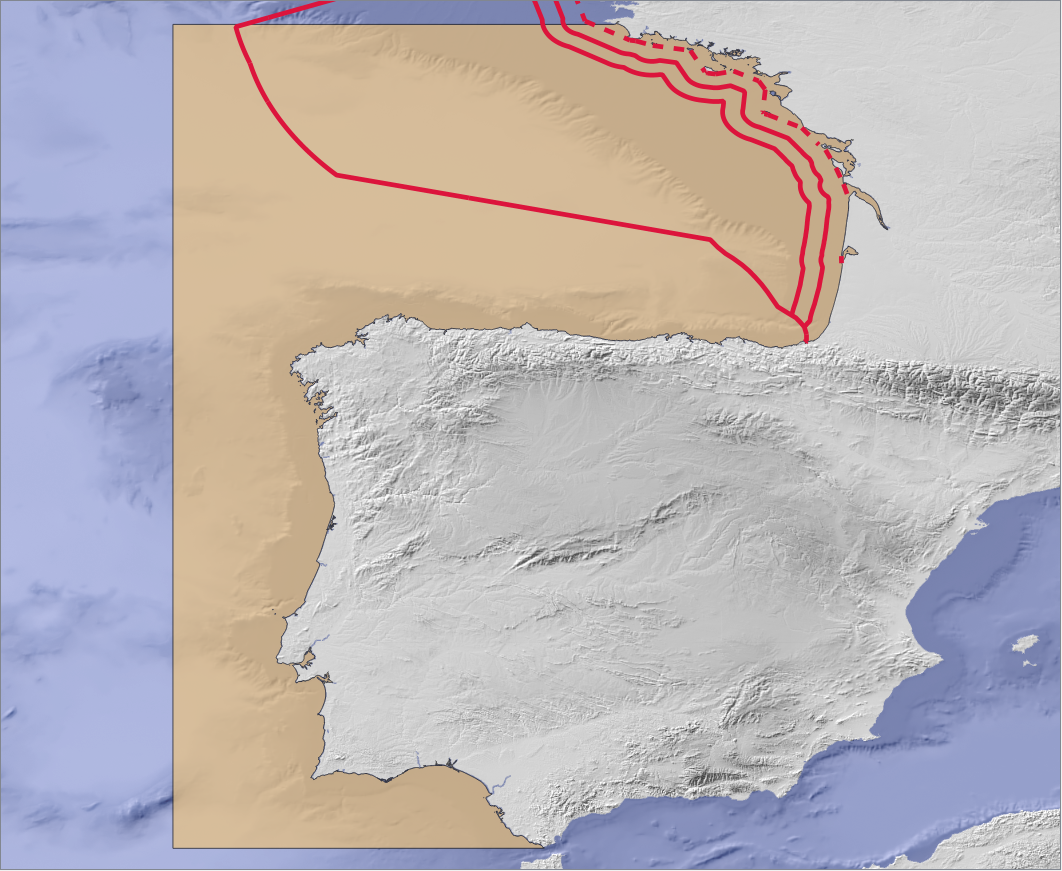
Thanks to the metadata template shared in SIMNORAT, IEO produced metadata: IEO Habitats - Distribution zone in Noratlantic Demarcation - Publish MD records using CSW catalogues: CSW catalogue
- Create keywords on published metadata
Provide multilingual information
- Provide metadata in English language as well as in native language
The possibility to publish metadata in several languages through a unique metadata record was tested. It is to the data producer to publish a multilingual metadata record. Examples of multilingual metadata record:
- Areas with high and moderate potential for underwater noise generation in the North Atlantic Marine Sudivision (CEDEX)
- Maritime limits and boundaries (Shom) - Create multilingual portal: https://data.simnorat.eu/
- Produce data and information in English using web page format to translate automatically the layer attributes: Submarine Noise: Zones with probability of accumulation of pressure (Spain), EMODnet shellfish production areas
REPRESENT
Display transboundary dataset
- Define and produce common symbology to improve understanding and use of datasets
Using INSPIRE specifications to harmonise data: French maritime boundaries (Shom)
ENHANCE
Harness the full potential of the data
- Develop tools to enhance the information
Production of simplified web pages (Freemarker Templates - FTL) based on layers attributes : EMODnet Ocean energy projects locations, EMODnet Hydrocarbon extraction boreholes
Production of complex web pages (HTML, PHP, JS) based on external databases "Marine natural parks" and "Carpe Diem - Risk of ecological exposure - all pressures"
Provide the access of multiple MSP data using thematics
- Creating a map catalogue
The Submarine cable and pipeline routes map shows all the datasets dealing with the submarine cable in the SIMNORAT area
Cases studies areas in the SIMNORAT project
Submarine Noise: Zones with probalibility of accumulation of pressures
 French Maritime boundaries using INSPIRE specifications
The Iroise marine nature park (Marine natural parks)
"Submarine cable and pipeline routes" map
Submarine Noise: Zones with probalibility of accumulation of pressures
When selecting a polygon on the map, the original attributes of the layer are automatically translated in English
 French Maritime boundaries using INSPIRE specifications
The Iroise marine nature park (Marine natural parks)
The results of the surveys underdertaken are available by clicking on the polygon. In addition, by selecting one red or blue square, specific information about "Contaminants" and "Macrowaste" monitoring sites is displayed".
"Submarine cable and pipeline routes" map